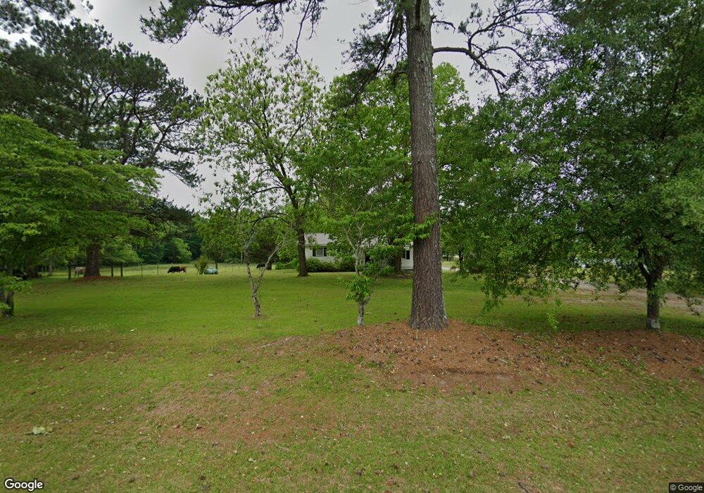
7641 Highway 15 S White Plains, GA 30678
Estimated Value: $91,205 - $413,000
Studio
2
Baths
1,056
Sq Ft
$204/Sq Ft
Est. Value
About This Home
This home is located at 7641 Highway 15 S, White Plains, GA 30678 and is currently estimated at $215,801, approximately $204 per square foot. 7641 Highway 15 S is a home located in Greene County with nearby schools including Greene County High School.
Ownership History
Date
Name
Owned For
Owner Type
Purchase Details
Closed on
Dec 31, 2012
Sold by
Coleman William R
Bought by
Coleman Family Lllp
Current Estimated Value
Purchase Details
Closed on
Feb 14, 2007
Sold by
Stewart Kenneth Matthew
Bought by
Coleman William R
Purchase Details
Closed on
Nov 30, 2006
Sold by
Stewart Clinton Mark
Bought by
Stewart Kenneth Matthew
Purchase Details
Closed on
Oct 23, 2006
Sold by
Stewart Kenneth M
Bought by
Atkinson Jonathan
Purchase Details
Closed on
Sep 5, 2006
Sold by
Stewart Laura S
Bought by
Stewart Clinton Mark
Purchase Details
Closed on
Nov 13, 1989
Sold by
Stewart C J
Bought by
Stewart C J
Purchase Details
Closed on
Jan 1, 1980
Sold by
Stewart C J
Bought by
Stewart C J
Purchase Details
Closed on
Jan 1, 1958
Bought by
Stewart C J
Create a Home Valuation Report for This Property
The Home Valuation Report is an in-depth analysis detailing your home's value as well as a comparison with similar homes in the area
Purchase History
| Date | Buyer | Sale Price | Title Company |
|---|---|---|---|
| Coleman Family Lllp | -- | -- | |
| Coleman William R | $95,000 | -- | |
| Stewart Kenneth Matthew | $71,250 | -- | |
| Atkinson Jonathan | $31,500 | -- | |
| Stewart Clinton Mark | $85,869 | -- | |
| Stewart C J | -- | -- | |
| Stewart C J | -- | -- | |
| Stewart C J | -- | -- |
Source: Public Records
Tax History
| Year | Tax Paid | Tax Assessment Tax Assessment Total Assessment is a certain percentage of the fair market value that is determined by local assessors to be the total taxable value of land and additions on the property. | Land | Improvement |
|---|---|---|---|---|
| 2025 | $651 | $27,872 | $3,240 | $24,632 |
| 2024 | $640 | $26,072 | $3,240 | $22,832 |
| 2023 | $612 | $24,840 | $2,440 | $22,400 |
| 2022 | $429 | $14,812 | $1,880 | $12,932 |
| 2021 | $377 | $13,452 | $1,880 | $11,572 |
| 2020 | $327 | $8,068 | $1,880 | $6,188 |
| 2019 | $333 | $8,068 | $1,880 | $6,188 |
| 2018 | $311 | $8,068 | $1,880 | $6,188 |
| 2017 | $301 | $8,104 | $1,894 | $6,210 |
| 2016 | $307 | $8,389 | $1,894 | $6,495 |
| 2015 | $432 | $16,364 | $8,536 | $7,829 |
| 2014 | $441 | $16,436 | $8,536 | $7,900 |
Source: Public Records
Map
Nearby Homes
- 0 Crawfordville Rd Unit 26193647
- 0 Crawfordville Rd Unit 10684772
- 4334 Log Cabin Rd SW
- 0.94 AC Warren Rd
- 0 Warren Rd Unit 26193646
- 0 Warren Rd Unit 10684736
- 2711 Jordans Mill Rd
- 7800 Veazey Rd
- LOT 249 Crosscreek Ln
- 1160 Credille Pond Rd
- 5321 Highway 15 S
- 1231 Lanier Rd
- 1279 Lanier Rd
- 0 St Marys Rd Unit 25619401
- 3440 Bethany Church Rd
- 0 McGhee Rd Unit 10453026
- Georgia 77
- 2850 Liberty Church Rd
- 1901 Grey Land Rd
- 1173 Old Bethany Rd
- 7671 Highway 15 S
- 7760 Highway 15 S
- 1130 Jernigan Bridge Rd
- 1130 Jernigan Bridge Rd
- 1040 Jernigan Bridge Rd
- 1111 Jackson Ave
- 1111 Jernigan Bridge Rd
- 1050 Church St
- 1041 Jernigan Bridge Rd
- 1100 Jackson Ave
- 1071 Jackson Ave
- 1080 Jackson Ave
- 1040 Church St
- 7481 Georgia 15
- 1030 Main St W
- 1081 Main St E
- 1021 Main St E
- 1050 Main St W
- 1041 Church St
- 1060 Main St W
Your Personal Tour Guide
Ask me questions while you tour the home.