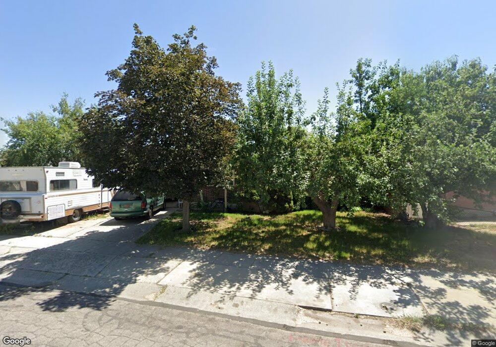
7641 S Uranium Dr West Jordan, UT 84084
Estimated Value: $450,000 - $519,000
3
Beds
2
Baths
1,800
Sq Ft
$264/Sq Ft
Est. Value
About This Home
This home is located at 7641 S Uranium Dr, West Jordan, UT 84084 and is currently estimated at $475,693, approximately $264 per square foot. 7641 S Uranium Dr is a home located in Salt Lake County with nearby schools including Majestic Elementary Arts Academy, West Jordan Middle School, and West Jordan High School.
Ownership History
Date
Name
Owned For
Owner Type
Purchase Details
Closed on
May 23, 2012
Sold by
Mahoney Charles D
Bought by
Mahoney Charles D
Current Estimated Value
Home Financials for this Owner
Home Financials are based on the most recent Mortgage that was taken out on this home.
Original Mortgage
$159,951
Outstanding Balance
$110,039
Interest Rate
3.75%
Mortgage Type
FHA
Estimated Equity
$365,654
Purchase Details
Closed on
Feb 26, 2010
Sold by
Norris Gary W and Norris Martha A
Bought by
Mahoney Charles D
Create a Home Valuation Report for This Property
The Home Valuation Report is an in-depth analysis detailing your home's value as well as a comparison with similar homes in the area
Home Values in the Area
Average Home Value in this Area
Purchase History
| Date | Buyer | Sale Price | Title Company |
|---|---|---|---|
| Mahoney Charles D | -- | None Available | |
| Mahoney Charles D | -- | Meridian Title |
Source: Public Records
Mortgage History
| Date | Status | Borrower | Loan Amount |
|---|---|---|---|
| Open | Mahoney Charles D | $159,951 |
Source: Public Records
Tax History Compared to Growth
Tax History
| Year | Tax Paid | Tax Assessment Tax Assessment Total Assessment is a certain percentage of the fair market value that is determined by local assessors to be the total taxable value of land and additions on the property. | Land | Improvement |
|---|---|---|---|---|
| 2025 | $2,085 | $436,800 | $137,400 | $299,400 |
| 2024 | $2,085 | $401,100 | $126,500 | $274,600 |
| 2023 | $2,074 | $376,000 | $121,600 | $254,400 |
| 2022 | $2,170 | $387,100 | $119,300 | $267,800 |
| 2021 | $1,852 | $300,800 | $91,600 | $209,200 |
| 2020 | $1,758 | $267,900 | $79,200 | $188,700 |
| 2019 | $1,617 | $241,700 | $79,200 | $162,500 |
| 2018 | $1,465 | $217,200 | $75,700 | $141,500 |
| 2017 | $1,363 | $201,100 | $75,700 | $125,400 |
| 2016 | $1,326 | $183,800 | $75,700 | $108,100 |
| 2015 | $1,407 | $190,200 | $80,800 | $109,400 |
| 2014 | $1,262 | $168,000 | $72,100 | $95,900 |
Source: Public Records
Map
Nearby Homes
- 7645 S 1960 W
- 2062 W 7705 S
- 1829 W 7600 S Unit G301
- 2169 W 7600 S
- 1817 W 7600 S Unit I204
- 1801 W 7600 S Unit C201
- 1805 W 7600 S Unit D204
- 7693 S Redwood Rd
- 2386 W 7680 S
- 1678 Leland Dr
- 7647 S 2500 W
- 7657 Sunrise Place E
- 7279 S Kenadi Ct
- 1718 W Trey Way Unit 2
- 2510 W Jordan Meadows Ln
- 8026 Laguna Cir
- 1516 W 7470 S
- 2573 Jordan Meadows Ln
- 7150 Camelot Way
- 7149 S Camelot Way
- 7641 Uranium Dr
- 7635 Uranium Dr
- 7655 Uranium Dr
- 7635 S Uranium Dr
- 7640 S 1960 W
- 7656 S 1960 W
- 7632 S 1960 W
- 7629 Uranium Dr
- 7629 S Uranium Dr
- 7671 Uranium Dr
- 7671 S Uranium Dr
- 2033 Coppergate Cir
- 7671 S 2030 W
- 7670 S 1960 W
- 7626 S 1960 W
- 7658 S Uranium Dr
- 7658 Uranium Dr
- 2038 Coppergate Cir
- 7613 Uranium Dr
- 7683 Uranium Dr