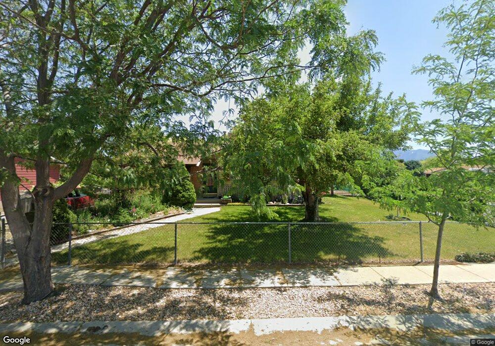
7643 S 2920 W West Jordan, UT 84084
Estimated Value: $466,000 - $501,000
5
Beds
2
Baths
1,060
Sq Ft
$457/Sq Ft
Est. Value
About This Home
This home is located at 7643 S 2920 W, West Jordan, UT 84084 and is currently estimated at $484,325, approximately $456 per square foot. 7643 S 2920 W is a home located in Salt Lake County with nearby schools including Westland Elementary School, Joel P. Jensen Middle School, and West Jordan High School.
Ownership History
Date
Name
Owned For
Owner Type
Purchase Details
Closed on
Apr 23, 2024
Sold by
Dennis David B and Dennis Mary Ann
Bought by
David And Mary Ann Dennis Living Trust and Dennis
Current Estimated Value
Create a Home Valuation Report for This Property
The Home Valuation Report is an in-depth analysis detailing your home's value as well as a comparison with similar homes in the area
Home Values in the Area
Average Home Value in this Area
Purchase History
| Date | Buyer | Sale Price | Title Company |
|---|---|---|---|
| David And Mary Ann Dennis Living Trust | -- | None Listed On Document |
Source: Public Records
Tax History Compared to Growth
Tax History
| Year | Tax Paid | Tax Assessment Tax Assessment Total Assessment is a certain percentage of the fair market value that is determined by local assessors to be the total taxable value of land and additions on the property. | Land | Improvement |
|---|---|---|---|---|
| 2025 | $2,063 | $437,500 | $137,400 | $300,100 |
| 2024 | $2,063 | $397,000 | $126,500 | $270,500 |
| 2023 | $2,058 | $373,100 | $121,600 | $251,500 |
| 2022 | $2,145 | $382,700 | $119,300 | $263,400 |
| 2021 | $1,834 | $297,800 | $91,600 | $206,200 |
| 2020 | $1,750 | $266,700 | $79,200 | $187,500 |
| 2019 | $1,606 | $240,000 | $79,200 | $160,800 |
| 2018 | $1,455 | $215,700 | $75,700 | $140,000 |
| 2017 | $1,348 | $199,000 | $75,700 | $123,300 |
| 2016 | $1,287 | $178,500 | $75,700 | $102,800 |
| 2015 | $1,337 | $180,800 | $80,800 | $100,000 |
| 2014 | $1,198 | $159,500 | $72,100 | $87,400 |
Source: Public Records
Map
Nearby Homes
- 2886 W 7550 S
- 7604 S Autumn Dr
- 7721 Sunset Cir
- 3165 W 7720 S
- 7642 S 2700 W
- 3066 W Linton Dr
- 7611 S Springbrook Dr
- 3354 W 7800 S
- 7942 S 2800 W
- 7987 S 2980 W
- 7361 S 2700 W
- 2573 Jordan Meadows Ln
- 3422 Briar Dr
- 7647 S 2500 W
- 7993 S 2760 W
- 2510 W Jordan Meadows Ln
- 7968 S 2700 W
- 2386 W 7680 S
- 3476 W Spaulding Rd
- 3332 Lower Newark Way
- 2902 Dimond Dr
- 2911 Dimond Dr
- 7646 S 2920 W
- 7646 S 2920 W
- 7646 S 2920 W Unit 2920 Basement
- 7654 S 2920 W
- 7641 S 2880 W
- 7561 S 2920 W
- 2892 Dimond Dr
- 7582 S 2920 W
- 2909 W 7550 S
- 7662 S 2920 W
- 7564 S 2920 W
- 2899 W 7550 S
- 7671 S 2920 W
- 2899 Dimond Dr
- 2899 W Dimond Dr
- 7672 S 2920 W
- 7642 S 2880 W
- 2889 W 7550 S