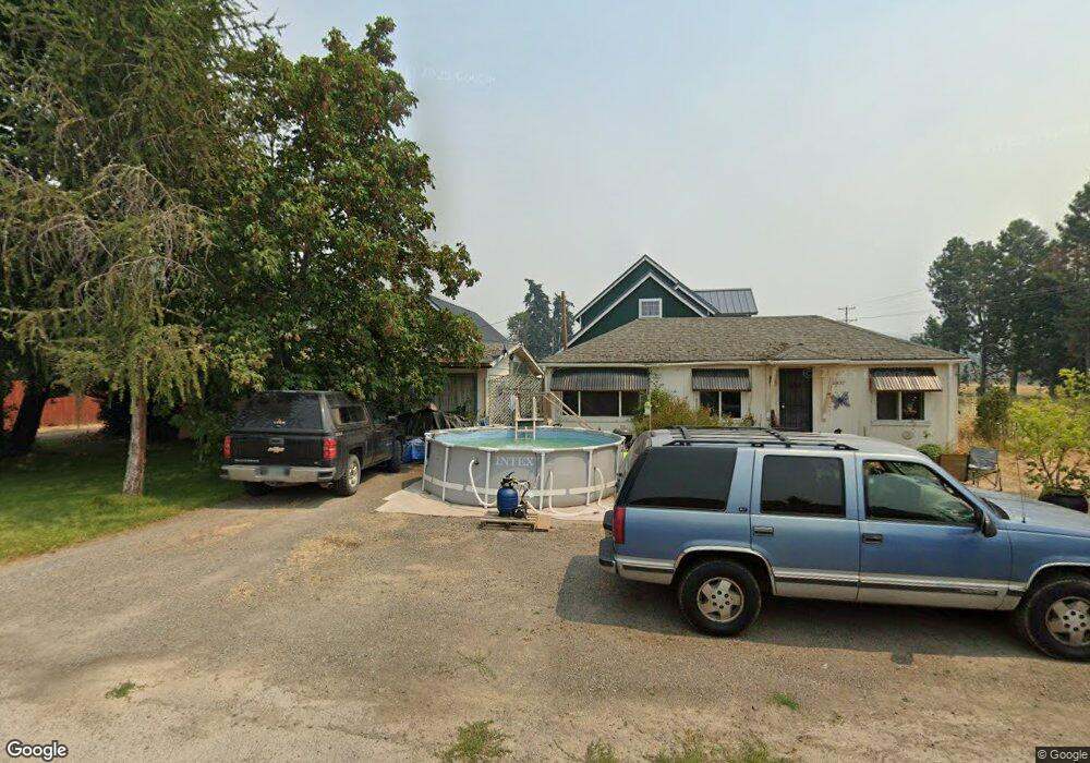
76437 Maple St Oakridge, OR 97463
Estimated Value: $147,000 - $279,000
5
Beds
2
Baths
1,517
Sq Ft
$136/Sq Ft
Est. Value
About This Home
This home is located at 76437 Maple St, Oakridge, OR 97463 and is currently estimated at $205,574, approximately $135 per square foot. 76437 Maple St is a home located in Lane County with nearby schools including Oakridge Elementary School, Oakridge Junior High School, and Oakridge High School.
Ownership History
Date
Name
Owned For
Owner Type
Purchase Details
Closed on
Sep 5, 2025
Sold by
Kg Investments Llc
Bought by
Kg Land Holdings Llc
Current Estimated Value
Home Financials for this Owner
Home Financials are based on the most recent Mortgage that was taken out on this home.
Original Mortgage
$161,500
Outstanding Balance
$161,080
Interest Rate
6.74%
Mortgage Type
New Conventional
Estimated Equity
$44,494
Purchase Details
Closed on
May 13, 2025
Sold by
Henderson Family Living Trust and Henderson Donald Eugene
Bought by
Kg Investments Llc
Purchase Details
Closed on
Apr 4, 2018
Sold by
Henderson Donald E and Henderson Brenda W
Bought by
Henderson Family Living Trust and Henderson
Purchase Details
Closed on
Feb 10, 2018
Sold by
Henderson Donald E and Henderson Brenda W
Bought by
1The Henderson Family Living Trust
Create a Home Valuation Report for This Property
The Home Valuation Report is an in-depth analysis detailing your home's value as well as a comparison with similar homes in the area
Home Values in the Area
Average Home Value in this Area
Purchase History
| Date | Buyer | Sale Price | Title Company |
|---|---|---|---|
| Kg Land Holdings Llc | -- | Cascade Title | |
| Kg Investments Llc | $144,000 | Cascade Title | |
| Henderson Family Living Trust | -- | None Listed On Document | |
| 1The Henderson Family Living Trust | -- | None Available |
Source: Public Records
Mortgage History
| Date | Status | Borrower | Loan Amount |
|---|---|---|---|
| Open | Kg Land Holdings Llc | $161,500 |
Source: Public Records
Tax History
| Year | Tax Paid | Tax Assessment Tax Assessment Total Assessment is a certain percentage of the fair market value that is determined by local assessors to be the total taxable value of land and additions on the property. | Land | Improvement |
|---|---|---|---|---|
| 2025 | $1,473 | $89,467 | -- | -- |
| 2024 | $1,433 | $86,862 | -- | -- |
| 2023 | $1,433 | $84,333 | -- | -- |
| 2022 | $1,334 | $81,877 | $0 | $0 |
| 2021 | $1,295 | $79,493 | $0 | $0 |
| 2020 | $1,251 | $77,178 | $0 | $0 |
| 2019 | $1,205 | $74,931 | $0 | $0 |
| 2018 | $1,161 | $70,630 | $0 | $0 |
| 2017 | $1,112 | $70,630 | $0 | $0 |
| 2016 | $1,097 | $68,573 | $0 | $0 |
| 2015 | $1,072 | $66,576 | $0 | $0 |
| 2014 | $1,075 | $64,637 | $0 | $0 |
Source: Public Records
Map
Nearby Homes
- 48121 Commercial St
- 76362 Willamette Way
- 48247 E 2nd St
- 48181 Highway 58
- 48017 Oregon 58
- 48197 Oregon 58
- 48294 Hills St
- 76232 Beech St
- 48386 Jasper Dr
- 76554 Bobbe Way
- 47880 W 2nd St
- 48433 Jasper Dr
- 0 Roberts Rd Unit 6800 20327112
- 47875 Elgin Ave
- 47861 Commercial St
- 48391 Roberts Rd
- 48448 Roaring Rapids Way
- 48232 Westoak Rd
- 47775 Berry St Unit B7
- 0 W 2nd St Unit 500 220207638
- 48169 Commercial St
- 76447 Maple St
- 48175 Commercial St
- 76448 Maple St
- 76440 Walnut St
- 48149 Commercial St
- 48162 E 1st St
- 48172 E 1st St
- 48150 E 1st St
- 48143 Commercial St
- 48146 E 1st St
- 76450 Walnut St
- 48140 E 1st St
- 76442 Laurel St
- 48185 Commercial St
- 76445 Walnut St
- 48189 Commercial St
- 48113 E Commercial St
- 48163 E 1st St
- 48192 E 1st St
Your Personal Tour Guide
Ask me questions while you tour the home.