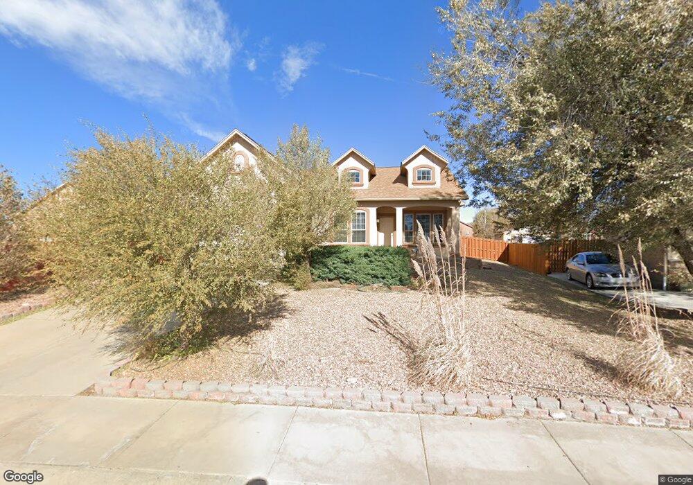
7646 High Gate Dr Fountain, CO 80817
Central Fountain Valley NeighborhoodEstimated Value: $501,000 - $544,000
3
Beds
3
Baths
1,810
Sq Ft
$290/Sq Ft
Est. Value
About This Home
This home is located at 7646 High Gate Dr, Fountain, CO 80817 and is currently estimated at $525,500, approximately $290 per square foot. 7646 High Gate Dr is a home located in El Paso County with nearby schools including Jordahl Elementary School, Fountain Middle School, and Fountain-Fort Carson High School.
Ownership History
Date
Name
Owned For
Owner Type
Purchase Details
Closed on
Nov 7, 2019
Sold by
Frost Karen
Bought by
Frost Sean T
Current Estimated Value
Purchase Details
Closed on
Apr 25, 2006
Sold by
Creekstone Development Inc
Bought by
Frost Sean T and Frost Karen
Home Financials for this Owner
Home Financials are based on the most recent Mortgage that was taken out on this home.
Original Mortgage
$274,007
Outstanding Balance
$158,732
Interest Rate
6.5%
Mortgage Type
Fannie Mae Freddie Mac
Estimated Equity
$366,768
Create a Home Valuation Report for This Property
The Home Valuation Report is an in-depth analysis detailing your home's value as well as a comparison with similar homes in the area
Home Values in the Area
Average Home Value in this Area
Purchase History
| Date | Buyer | Sale Price | Title Company |
|---|---|---|---|
| Frost Sean T | -- | None Available | |
| Frost Sean T | $342,509 | Security Title |
Source: Public Records
Mortgage History
| Date | Status | Borrower | Loan Amount |
|---|---|---|---|
| Open | Frost Sean T | $274,007 |
Source: Public Records
Tax History Compared to Growth
Tax History
| Year | Tax Paid | Tax Assessment Tax Assessment Total Assessment is a certain percentage of the fair market value that is determined by local assessors to be the total taxable value of land and additions on the property. | Land | Improvement |
|---|---|---|---|---|
| 2025 | $1,994 | $37,160 | -- | -- |
| 2024 | $1,816 | $36,540 | $6,570 | $29,970 |
| 2022 | $1,594 | $27,320 | $5,180 | $22,140 |
| 2021 | $1,480 | $28,100 | $5,330 | $22,770 |
| 2020 | $1,401 | $26,030 | $4,650 | $21,380 |
| 2019 | $1,374 | $26,030 | $4,650 | $21,380 |
| 2018 | $1,217 | $22,270 | $4,100 | $18,170 |
| 2017 | $1,203 | $22,270 | $4,100 | $18,170 |
| 2016 | $1,144 | $21,170 | $4,300 | $16,870 |
| 2015 | $1,146 | $21,170 | $4,300 | $16,870 |
| 2014 | $1,138 | $21,130 | $4,300 | $16,830 |
Source: Public Records
Map
Nearby Homes
- 7354 Countryside Grove
- 7355 Countryside Grove
- 119 & 121 E Ohio Ave
- 10677 Traders Pkwy
- 7427 Middle Bay Way
- 10733 Calista Way
- 10684 Calista Way
- 10594 Traders Pkwy
- 10747 Hidden Prairie Pkwy
- 10797 Hidden Prairie Pkwy
- 10807 Hidden Prairie Pkwy
- 508 E Ohio Ave
- 505 E Missouri Ave
- 7770 Del Ray Bay St
- 10994 Tidal Run Cir
- 11081 Buckhead Place
- 10898 Hidden Prairie Pkwy
- 541 Autumn Place
- 11426 Melden Way
- 7338 Benecia Dr
- 10367 Buck Rake Ct
- 10335 Buck Rake Ct
- 7674 High Gate Dr
- 10356 Honeytree Ct
- 7647 High Gate Dr
- 7675 High Gate Dr
- 10319 Buck Rake Ct
- 7688 High Gate Dr
- 7633 High Gate Dr
- 10376 Honeytree Ct
- 10336 Honeytree Ct
- 10382 Buck Rake Ct
- 10366 Buck Rake Ct
- 10396 Honeytree Ct
- 10303 Buck Rake Ct
- 10302 Buck Rake Ct
- 10515 Jimmy Camp Rd Unit 10525
- 10315 Honeytree Ct
- 7605 High Gate Dr
- 10406 Mile Post Loop