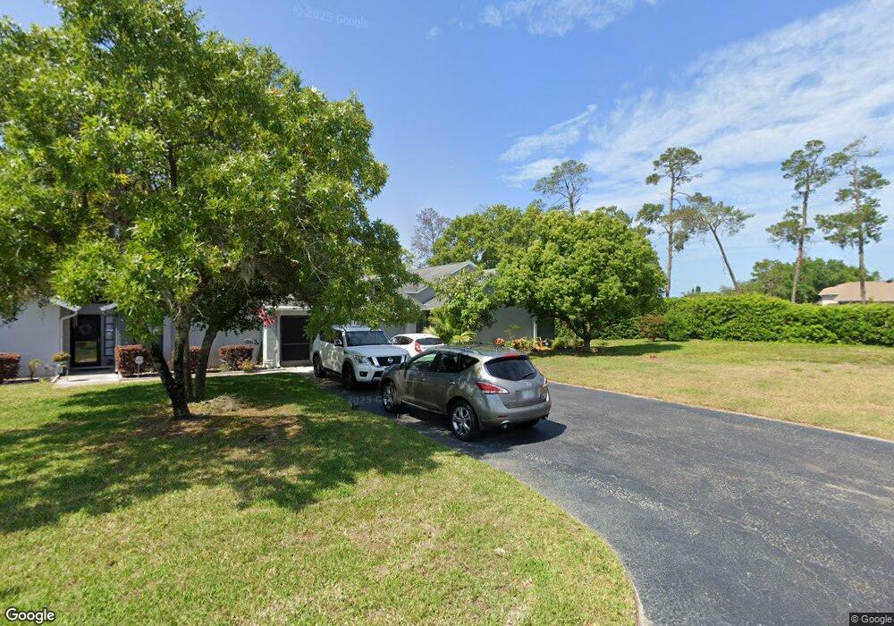
7647 Upton Ct New Port Richey, FL 34654
River Ridge NeighborhoodEstimated Value: $214,269 - $243,000
--
Bed
2
Baths
1,430
Sq Ft
$162/Sq Ft
Est. Value
About This Home
This home is located at 7647 Upton Ct, New Port Richey, FL 34654 and is currently estimated at $232,067, approximately $162 per square foot. 7647 Upton Ct is a home located in Pasco County with nearby schools including River Ridge High School, Cypress Elementary School, and River Ridge Middle School.
Ownership History
Date
Name
Owned For
Owner Type
Purchase Details
Closed on
Sep 2, 1999
Sold by
Heaney Kevin A
Bought by
Viola Carmen L and Viola Janet D
Current Estimated Value
Purchase Details
Closed on
May 23, 1997
Sold by
River Ridge Golf Club Inc
Bought by
Heaney Kevin A
Home Financials for this Owner
Home Financials are based on the most recent Mortgage that was taken out on this home.
Original Mortgage
$59,120
Interest Rate
8.17%
Mortgage Type
New Conventional
Create a Home Valuation Report for This Property
The Home Valuation Report is an in-depth analysis detailing your home's value as well as a comparison with similar homes in the area
Home Values in the Area
Average Home Value in this Area
Purchase History
| Date | Buyer | Sale Price | Title Company |
|---|---|---|---|
| Viola Carmen L | $78,000 | -- | |
| Heaney Kevin A | $73,900 | -- |
Source: Public Records
Mortgage History
| Date | Status | Borrower | Loan Amount |
|---|---|---|---|
| Previous Owner | Heaney Kevin A | $59,120 |
Source: Public Records
Tax History Compared to Growth
Tax History
| Year | Tax Paid | Tax Assessment Tax Assessment Total Assessment is a certain percentage of the fair market value that is determined by local assessors to be the total taxable value of land and additions on the property. | Land | Improvement |
|---|---|---|---|---|
| 2025 | $795 | $82,970 | -- | -- |
| 2024 | $795 | $80,640 | -- | -- |
| 2023 | $749 | $78,300 | $0 | $0 |
| 2022 | $726 | $76,020 | $0 | $0 |
| 2021 | $710 | $73,810 | $10,859 | $62,951 |
| 2020 | $700 | $72,800 | $10,858 | $61,942 |
| 2019 | $691 | $71,170 | $0 | $0 |
| 2018 | $681 | $69,852 | $0 | $0 |
| 2017 | $685 | $69,852 | $0 | $0 |
| 2016 | $645 | $67,008 | $0 | $0 |
| 2015 | $656 | $66,542 | $0 | $0 |
| 2014 | $635 | $70,154 | $10,858 | $59,296 |
Source: Public Records
Map
Nearby Homes
- 10636 Millriver Dr
- 7536 Roland Ct
- 7530 Roy Ct
- 7636 Haig Ct
- 10718 Fiddlesticks Ct
- 7633 Piping Rock Ct
- 10908 Claymont Dr
- 7507 Katherine Dr
- 10319 Widgeon Way
- 10319 Alberta Ct
- 10235 Maverick St
- 10305 Copperwood Dr
- 7814 Brisbane Ct
- 7051 Woodibis Dr
- 11142 Port Douglas Dr
- 7739 Harbor Bridge Blvd
- 11149 Port Douglas Dr
- 10301 Bellwood Ave
- 11343 Tee Time Cir
- 7222 Auburn Ln
- 7622 Tolar Dr
- 7645 Upton Ct Unit 22
- 7620 Tolar Dr
- 7637 Upton Ct
- 7639 Upton Ct
- 7623 Tolar Dr
- 10632 Mroz Ln
- 10630 Mroz Ln
- 7619 Tolar Dr
- 7641 Upton Ct
- 7643 Upton Ct
- 7615 Tolar Dr
- 7635 Upton Ct
- 7612 Roland Ct
- 7633 Upton Ct
- 10643 Millriver Dr
- 7612 Tolar Dr
- 7608 Roland Ct
- 10606 Magrath Ln
- 10661 Millriver Dr