7648 Navajo Trail Township of Branch, MI 49402
Estimated Value: $301,000 - $415,000
3
Beds
3
Baths
1,344
Sq Ft
$269/Sq Ft
Est. Value
About This Home
This home is located at 7648 Navajo Trail, Township of Branch, MI 49402 and is currently estimated at $361,234, approximately $268 per square foot. 7648 Navajo Trail is a home located in Mason County with nearby schools including Mason County Central Upper Elementary School, Scottville Elementary School, and Mason County Central Middle School.
Ownership History
Date
Name
Owned For
Owner Type
Purchase Details
Closed on
Jun 2, 2004
Sold by
Wilson Charles M and Wilson Carole A
Bought by
Schrotenboer Gregory and Schrotenboer Diane
Current Estimated Value
Home Financials for this Owner
Home Financials are based on the most recent Mortgage that was taken out on this home.
Original Mortgage
$155,000
Outstanding Balance
$76,075
Interest Rate
6.06%
Mortgage Type
Purchase Money Mortgage
Estimated Equity
$285,159
Create a Home Valuation Report for This Property
The Home Valuation Report is an in-depth analysis detailing your home's value as well as a comparison with similar homes in the area
Home Values in the Area
Average Home Value in this Area
Purchase History
| Date | Buyer | Sale Price | Title Company |
|---|---|---|---|
| Schrotenboer Gregory | $195,000 | Chicago Title Co |
Source: Public Records
Mortgage History
| Date | Status | Borrower | Loan Amount |
|---|---|---|---|
| Open | Schrotenboer Gregory | $155,000 |
Source: Public Records
Tax History Compared to Growth
Tax History
| Year | Tax Paid | Tax Assessment Tax Assessment Total Assessment is a certain percentage of the fair market value that is determined by local assessors to be the total taxable value of land and additions on the property. | Land | Improvement |
|---|---|---|---|---|
| 2025 | $4,821 | $166,100 | $166,100 | $0 |
| 2024 | -- | $152,000 | $152,000 | $0 |
| 2023 | -- | $128,800 | $128,800 | $0 |
| 2022 | -- | $112,000 | $0 | $0 |
| 2021 | $118 | $109,000 | $0 | $0 |
| 2020 | $118 | $100,300 | $0 | $0 |
| 2019 | -- | -- | $0 | $0 |
| 2018 | -- | -- | $0 | $0 |
| 2017 | -- | -- | $0 | $0 |
| 2016 | -- | -- | $0 | $0 |
| 2015 | -- | -- | $0 | $0 |
| 2013 | -- | -- | $0 | $0 |
Source: Public Records
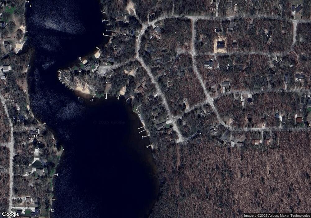
Map
Nearby Homes
- 270 N Jack Pine Rd
- 161 N Jackpine Rd
- 520 N Campbell Rd
- 28 N Jack Pine Rd
- 73 S Maple Rd
- 67 S Emerson Dr
- 105 S Emerson Lake Rd
- 125 S Maple Rd
- 193 S Emerson Dr
- 395 N Campbell Rd
- 7100 Wever Rd
- 7832 E Us Highway 10
- 9554 Highway 10 NW
- 86 S Walhalla Rd
- 441 N Benson Rd
- 8570 U S 10
- 00 Unit N. Benson Road
- 930 N Benson Rd
- 1754 Maggie St
- V/L E Decker Rd
- 7628 E Navajo Trail
- 7628 E Navajo Trail
- 7629 E Navajo Trail
- 7633 E Navajo Trail
- 7627 E Navajo Trail
- 7636 E Navajo Trail
- 7640 E Navajo Trail
- 0 Chickasaw Trail Unit M16017496
- 0 Chickasaw Trail Unit M17025371
- 0 Chickasaw Trail Unit M18007091
- 0 Chickasaw Trail Unit 67018007091
- 0 Chickasaw Trail Unit 67017025371
- 0 Chickasaw Trail Unit 173 18007091
- 210 Chickasaw Trail
- 0 Chickasaw Trail
- 7644 E Navajo Trail
- 7805 E Shoshone Trail
- 7799 E Chickasaw Trail
- 7803 E Shoshone Trail
- 7809 E Shoshone Trail