Estimated Value: $134,045 - $368,000
Studio
2
Baths
1,373
Sq Ft
$158/Sq Ft
Est. Value
About This Home
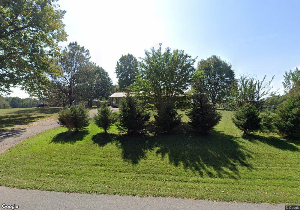
This home is located at 765 Crum Rd, Yuma, TN 38390 and is currently estimated at $216,261, approximately $157 per square foot. 765 Crum Rd is a home located in Carroll County with nearby schools including Clarksburg School.
Ownership History
Date
Name
Owned For
Owner Type
Purchase Details
Closed on
Jun 17, 2022
Sold by
Elizabeth Crum
Bought by
Tucker Sandra Crum
Current Estimated Value
Purchase Details
Closed on
Nov 26, 2008
Sold by
Crum James L
Bought by
Crum James L
Purchase Details
Closed on
Nov 19, 2007
Sold by
Crum James L
Bought by
Crum Barry
Purchase Details
Closed on
Sep 1, 2005
Sold by
Crum James L
Bought by
Crum Barry
Purchase Details
Closed on
Apr 7, 2005
Sold by
Crum James L
Bought by
Crum Barry
Purchase Details
Closed on
Nov 6, 1996
Sold by
Crum James L
Bought by
Crum George
Purchase Details
Closed on
Dec 1, 1962
Bought by
Crum James L
Purchase Details
Closed on
Mar 12, 1958
Create a Home Valuation Report for This Property
The Home Valuation Report is an in-depth analysis detailing your home's value as well as a comparison with similar homes in the area
Purchase History
| Date | Buyer | Sale Price | Title Company |
|---|---|---|---|
| Tucker Sandra Crum | -- | Huss David W | |
| Crum James L | -- | -- | |
| Crum Barry | $15,000 | -- | |
| Crum Barry | $6,000 | -- | |
| Crum Barry | $16,000 | -- | |
| Crum George | -- | -- | |
| Crum James L | -- | -- | |
| -- | -- | -- |
Source: Public Records
Tax History
| Year | Tax Paid | Tax Assessment Tax Assessment Total Assessment is a certain percentage of the fair market value that is determined by local assessors to be the total taxable value of land and additions on the property. | Land | Improvement |
|---|---|---|---|---|
| 2025 | $523 | $31,000 | $2,725 | $28,275 |
| 2024 | $427 | $15,450 | $1,475 | $13,975 |
| 2023 | $427 | $15,450 | $1,475 | $13,975 |
| 2022 | $427 | $15,450 | $1,475 | $13,975 |
| 2021 | $218 | $15,450 | $1,475 | $13,975 |
| 2020 | $404 | $14,600 | $1,475 | $13,125 |
| 2019 | $444 | $14,425 | $1,475 | $12,950 |
| 2018 | $444 | $14,425 | $1,475 | $12,950 |
| 2017 | $444 | $14,425 | $1,475 | $12,950 |
| 2016 | $664 | $14,425 | $1,475 | $12,950 |
| 2015 | $458 | $14,425 | $1,475 | $12,950 |
| 2014 | $453 | $14,425 | $1,475 | $12,950 |
| 2013 | $453 | $13,741 | $0 | $0 |
Source: Public Records
Map
Nearby Homes
- 0 Crum Rd
- 75 Crum Rd
- 2359 Tennessee 22
- 0 Weatherford St Unit 134445
- 00 Auction Ln
- 805 Pate Rd
- 000 Lands End Ln
- Lot 5 Stately Oak Dr
- Lot 26 Stately Oak Dr
- Lot 8 Stately Oak Dr
- Lot 6 Stately Oak Dr
- 1354 Brandon Rd
- Lot 9 Stately Oak Dr
- Lot 18 Stately Oak Dr
- Lots 14-17 Stately Oak Dr
- Lot 14 Stately Oak Dr
- Lot 17 Stately Oak Dr
- Lot 16 Stately Oak Dr
- Lot 15 Stately Oak Dr
- 890 Kyle Rd
Your Personal Tour Guide
Ask me questions while you tour the home.