765 Hawk Ridge Ln Marshall, NC 28753
Estimated Value: $363,000 - $582,000
2
Beds
1
Bath
957
Sq Ft
$516/Sq Ft
Est. Value
About This Home
This home is located at 765 Hawk Ridge Ln, Marshall, NC 28753 and is currently estimated at $494,088, approximately $516 per square foot. 765 Hawk Ridge Ln is a home located in Madison County with nearby schools including Madison Middle School.
Ownership History
Date
Name
Owned For
Owner Type
Purchase Details
Closed on
Feb 4, 2020
Sold by
Kowolik Robert G and Mcinnis Margaret M
Bought by
White Kenneth M and Krohn Jennifer Lynn
Current Estimated Value
Home Financials for this Owner
Home Financials are based on the most recent Mortgage that was taken out on this home.
Original Mortgage
$270,750
Outstanding Balance
$240,275
Interest Rate
3.72%
Mortgage Type
New Conventional
Estimated Equity
$253,813
Purchase Details
Closed on
Feb 10, 2004
Bought by
Kowolik Robert G and Kowolik Margaret
Create a Home Valuation Report for This Property
The Home Valuation Report is an in-depth analysis detailing your home's value as well as a comparison with similar homes in the area
Home Values in the Area
Average Home Value in this Area
Purchase History
| Date | Buyer | Sale Price | Title Company |
|---|---|---|---|
| White Kenneth M | $285,000 | None Available | |
| Kowolik Robert G | $205,000 | -- |
Source: Public Records
Mortgage History
| Date | Status | Borrower | Loan Amount |
|---|---|---|---|
| Open | White Kenneth M | $270,750 |
Source: Public Records
Tax History
| Year | Tax Paid | Tax Assessment Tax Assessment Total Assessment is a certain percentage of the fair market value that is determined by local assessors to be the total taxable value of land and additions on the property. | Land | Improvement |
|---|---|---|---|---|
| 2024 | $1,727 | $368,362 | $225,938 | $142,424 |
| 2023 | $1,347 | $208,312 | $166,139 | $42,173 |
| 2022 | $1,347 | $208,312 | $166,139 | $42,173 |
| 2021 | $1,347 | $208,312 | $166,139 | $42,173 |
| 2020 | $1,347 | $208,312 | $166,139 | $42,173 |
| 2019 | $1,221 | $174,004 | $144,468 | $29,536 |
| 2018 | $1,009 | $0 | $0 | $0 |
| 2017 | $1,009 | $0 | $0 | $0 |
| 2016 | $1,009 | $0 | $0 | $0 |
| 2015 | -- | $0 | $0 | $0 |
| 2014 | -- | $174,004 | $144,468 | $29,536 |
| 2013 | -- | $174,004 | $144,468 | $29,536 |
Source: Public Records
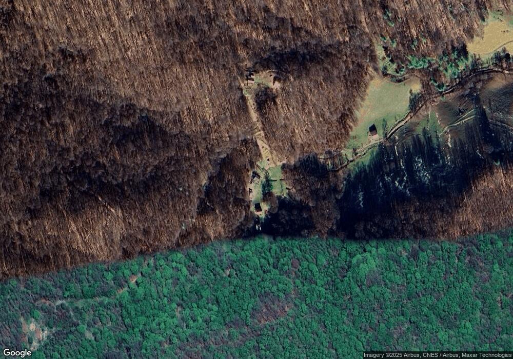
Map
Nearby Homes
- 1925 S Fork Rd
- 505 Old Home Place Dr
- 987 West Rd
- 9999 Foxtown Rd
- 9781 Nc 209 Hwy
- 00000 Grassland Pkwy Unit 14
- 2316 N Carolina 63
- TBD Sugar Camp Rd
- Tbd Sugar Camp Rd
- 00 Nc 209 Hwy
- 1145 Woolyshot Branch Rd
- 7385 Big Pine Rd
- 356 Joe Payne Rd
- 550 Joe Payne Rd
- 682 Rock House Rd
- 350 Scott's Trail
- 70 Fox Run
- 99999 Secluded Valley Rd
- 131 White Oak Way Unit 34/35
- (East Lot) Meadow Fork Rd
- 800 Hawk Ridge Ln
- 2846 N Fork Rd
- 1272 N Fork Rd
- 1250 Hawk Ridge Ln
- 66 Hawk Ridge Ln
- 1006 N Fork Rd
- 121 Hawk Ridge Ln
- 734 Gentry Branch Rd
- 1275 N Fork Rd
- 1275 N Fork Rd
- 601 N Fork Rd
- 1540 Baker Branch Ln
- 751 N Fork Rd
- 1201 and 1540 Baker Branch Ln
- 1545 N Fork Rd
- 242 N Fork Rd
- 640 N Fork Rd
- 1201 Baker Branch Ln
- 999999 Gentry Branch Rd
- 492 N Fork Rd
Your Personal Tour Guide
Ask me questions while you tour the home.