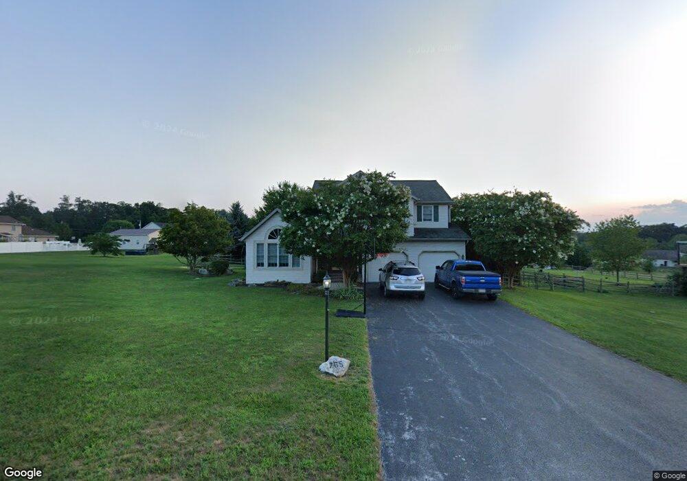
765 Kindig Rd Unit 11 Littlestown, PA 17340
Estimated Value: $444,000 - $510,000
3
Beds
3
Baths
2,239
Sq Ft
$216/Sq Ft
Est. Value
About This Home
This home is located at 765 Kindig Rd Unit 11, Littlestown, PA 17340 and is currently estimated at $482,684, approximately $215 per square foot. 765 Kindig Rd Unit 11 is a home located in Adams County with nearby schools including Rolling Acres El School, Maple Avenue Middle School, and Littlestown Senior High School.
Ownership History
Date
Name
Owned For
Owner Type
Purchase Details
Closed on
Nov 21, 2007
Sold by
Crouse Shane E and Crouse Deborah W
Bought by
Dull Anthony E and Dull Melanie
Current Estimated Value
Home Financials for this Owner
Home Financials are based on the most recent Mortgage that was taken out on this home.
Original Mortgage
$273,000
Outstanding Balance
$171,746
Interest Rate
6.27%
Mortgage Type
New Conventional
Estimated Equity
$310,938
Create a Home Valuation Report for This Property
The Home Valuation Report is an in-depth analysis detailing your home's value as well as a comparison with similar homes in the area
Home Values in the Area
Average Home Value in this Area
Purchase History
| Date | Buyer | Sale Price | Title Company |
|---|---|---|---|
| Dull Anthony E | $349,900 | -- |
Source: Public Records
Mortgage History
| Date | Status | Borrower | Loan Amount |
|---|---|---|---|
| Open | Dull Anthony E | $273,000 |
Source: Public Records
Tax History Compared to Growth
Tax History
| Year | Tax Paid | Tax Assessment Tax Assessment Total Assessment is a certain percentage of the fair market value that is determined by local assessors to be the total taxable value of land and additions on the property. | Land | Improvement |
|---|---|---|---|---|
| 2025 | $5,887 | $311,000 | $135,100 | $175,900 |
| 2024 | $5,658 | $311,000 | $135,100 | $175,900 |
| 2023 | $5,516 | $311,000 | $135,100 | $175,900 |
| 2022 | $5,475 | $311,000 | $135,100 | $175,900 |
| 2021 | $5,281 | $311,000 | $135,100 | $175,900 |
| 2020 | $5,204 | $311,000 | $135,100 | $175,900 |
| 2019 | $5,093 | $311,000 | $135,100 | $175,900 |
| 2018 | $4,941 | $311,000 | $135,100 | $175,900 |
| 2017 | $4,787 | $311,000 | $135,100 | $175,900 |
| 2016 | -- | $311,000 | $135,100 | $175,900 |
| 2015 | -- | $311,000 | $135,100 | $175,900 |
| 2014 | -- | $311,000 | $135,100 | $175,900 |
Source: Public Records
Map
Nearby Homes
- 630 Mehring Rd Unit 4
- LOT 9 Mehring Rd
- 2100 Blacks School House Rd
- 567 Lumber St
- 559 Lumber St
- 535 Lumber St
- 1175 Bollinger Rd
- 241 M St
- 211 E King St
- 43 Ashfield Dr Unit 14
- 61 E King St
- 106 E King St
- 893 Georgetown Rd
- 41 Smith Cir
- 115 Charles St
- 117 Charles St
- 1 Hickory Ln
- 129 W King St
- 1555 Humbert Schoolhouse Rd
- 128 Pine Grove Rd Unit 3
- 745 Kindig Rd Unit 12
- 380 Bollinger Rd Unit 4
- 370 Bollinger Rd Unit 5
- 760 Kindig Rd Unit 3
- 780 Kindig Rd Unit 4
- 725 Kindig Rd Unit 13
- 350 Bollinger Rd Unit 6
- 730 Kindig Rd Unit 2
- 398 Bollinger Rd Unit 5
- 720 Kindig Rd Unit 1
- 74 Logan Cir Unit 18
- 16 Logan Cir
- 330 Bollinger Rd Unit 7
- 48 Logan Cir
- 46 Logan Cir Unit 17
- 1193 Mathias Rd Unit 1
- 365 Bollinger Rd
- 320 Bollinger Rd Unit 8
- 724 Kindig Rd Unit 9
- 51 Logan Cir