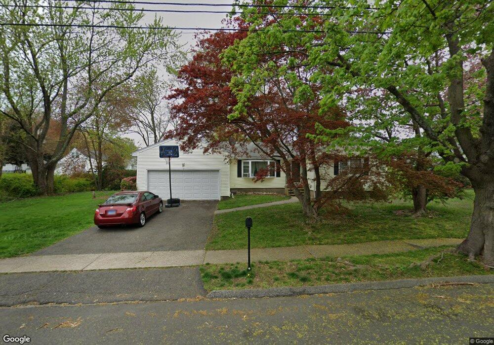
765 Robin Ln Stratford, CT 06614
Estimated Value: $491,000 - $535,000
3
Beds
2
Baths
1,428
Sq Ft
$357/Sq Ft
Est. Value
About This Home
This home is located at 765 Robin Ln, Stratford, CT 06614 and is currently estimated at $509,093, approximately $356 per square foot. 765 Robin Ln is a home located in Fairfield County with nearby schools including Chapel Street Elementary School, Harry B. Flood Middle School, and Bunnell High School.
Ownership History
Date
Name
Owned For
Owner Type
Purchase Details
Closed on
Jul 2, 2010
Sold by
Malhotra Sumit and Malhotra Ritu
Bought by
Spoto Michael and Spoto Melissa
Current Estimated Value
Home Financials for this Owner
Home Financials are based on the most recent Mortgage that was taken out on this home.
Original Mortgage
$271,345
Outstanding Balance
$184,336
Interest Rate
5.25%
Mortgage Type
FHA
Estimated Equity
$324,757
Purchase Details
Closed on
May 28, 2008
Sold by
Bennett William and Bennett Ann
Bought by
Malhota Sumit
Home Financials for this Owner
Home Financials are based on the most recent Mortgage that was taken out on this home.
Original Mortgage
$248,000
Interest Rate
5.91%
Create a Home Valuation Report for This Property
The Home Valuation Report is an in-depth analysis detailing your home's value as well as a comparison with similar homes in the area
Home Values in the Area
Average Home Value in this Area
Purchase History
| Date | Buyer | Sale Price | Title Company |
|---|---|---|---|
| Spoto Michael | $275,000 | -- | |
| Malhota Sumit | $310,000 | -- |
Source: Public Records
Mortgage History
| Date | Status | Borrower | Loan Amount |
|---|---|---|---|
| Open | Malhota Sumit | $271,345 | |
| Previous Owner | Malhota Sumit | $248,000 | |
| Previous Owner | Malhota Sumit | $75,000 |
Source: Public Records
Tax History Compared to Growth
Tax History
| Year | Tax Paid | Tax Assessment Tax Assessment Total Assessment is a certain percentage of the fair market value that is determined by local assessors to be the total taxable value of land and additions on the property. | Land | Improvement |
|---|---|---|---|---|
| 2025 | $7,480 | $186,060 | $102,480 | $83,580 |
| 2024 | $7,480 | $186,060 | $102,480 | $83,580 |
| 2023 | $7,480 | $186,060 | $102,480 | $83,580 |
| 2022 | $7,342 | $186,060 | $102,480 | $83,580 |
| 2021 | $7,344 | $186,060 | $102,480 | $83,580 |
| 2020 | $7,375 | $186,060 | $102,480 | $83,580 |
| 2019 | $7,030 | $176,330 | $86,240 | $90,090 |
| 2018 | $7,036 | $176,330 | $86,240 | $90,090 |
| 2017 | $7,048 | $176,330 | $86,240 | $90,090 |
| 2016 | $6,875 | $176,330 | $86,240 | $90,090 |
| 2015 | $6,521 | $176,330 | $86,240 | $90,090 |
| 2014 | $6,707 | $188,230 | $92,400 | $95,830 |
Source: Public Records
Map
Nearby Homes
- 735 Chickadee Ln
- 1314 Huntington Rd
- 135 Wigwam Ln
- 1250 Huntington Rd
- 30 Bulmer Dr
- 80 Wilbrook Rd
- 246 Delaware Dr
- 1053 Cutspring Rd
- 80 Sheffield Cir
- 165 Douglas St
- 240 Highland Ave
- 175 Post Oak Rd
- 700 Huntington Rd
- 145 Dahl Ave
- 15 Tavern Rock Rd
- 160 Cheshire St
- 216 Ridge Rd
- 290 Hollywood Ave
- 100 Matthew Dr
- 75 Tucci Dr