Estimated Value: $183,420 - $326,000
--
Bed
--
Bath
2,240
Sq Ft
$112/Sq Ft
Est. Value
About This Home
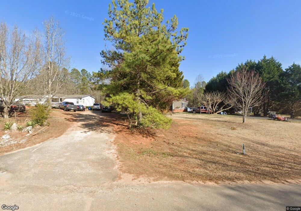
This home is located at 765 Rock Castle Dr, York, SC 29745 and is currently estimated at $251,605, approximately $112 per square foot. 765 Rock Castle Dr is a home with nearby schools including Jefferson Elementary School, York Middle School, and York Intermediate School.
Ownership History
Date
Name
Owned For
Owner Type
Purchase Details
Closed on
Jun 15, 2018
Sold by
Smith David W
Bought by
Smith David W and Smith Sandra Diane
Current Estimated Value
Home Financials for this Owner
Home Financials are based on the most recent Mortgage that was taken out on this home.
Original Mortgage
$115,000
Outstanding Balance
$68,965
Interest Rate
4.5%
Mortgage Type
VA
Estimated Equity
$182,640
Purchase Details
Closed on
Apr 27, 1998
Sold by
Cody Odell A
Bought by
Smith David W
Create a Home Valuation Report for This Property
The Home Valuation Report is an in-depth analysis detailing your home's value as well as a comparison with similar homes in the area
Home Values in the Area
Average Home Value in this Area
Purchase History
| Date | Buyer | Sale Price | Title Company |
|---|---|---|---|
| Smith David W | -- | Wfg Lender Services | |
| Smith David W | $20,000 | -- |
Source: Public Records
Mortgage History
| Date | Status | Borrower | Loan Amount |
|---|---|---|---|
| Open | Smith David W | $115,000 |
Source: Public Records
Tax History Compared to Growth
Tax History
| Year | Tax Paid | Tax Assessment Tax Assessment Total Assessment is a certain percentage of the fair market value that is determined by local assessors to be the total taxable value of land and additions on the property. | Land | Improvement |
|---|---|---|---|---|
| 2024 | $89 | $2,524 | $1,120 | $1,404 |
| 2023 | $91 | $2,524 | $1,120 | $1,404 |
| 2022 | $91 | $2,524 | $1,120 | $1,404 |
| 2021 | -- | $2,524 | $1,120 | $1,404 |
| 2020 | $91 | $2,524 | $0 | $0 |
| 2019 | $93 | $2,520 | $0 | $0 |
| 2018 | $90 | $2,520 | $0 | $0 |
| 2017 | $85 | $2,520 | $0 | $0 |
| 2016 | $408 | $2,520 | $0 | $0 |
| 2014 | $406 | $2,520 | $960 | $1,560 |
| 2013 | $406 | $2,680 | $960 | $1,720 |
Source: Public Records
Map
Nearby Homes
- 691 Connolly Rd
- Millbrook Plan at McFarland Estates
- Bellwood Plan at McFarland Estates
- Morganton Plan at McFarland Estates
- 459 Brick House Rd
- Hamilton Plan at McFarland Estates
- 473 Brick House Rd
- 462 Brick House Rd Unit 123
- Belair II Plan at McFarland Estates
- Liberty Plan at McFarland Estates
- 458 Brick House Rd
- 454 Brick House Rd
- 211 Ella Claire Dr
- 207 Ella Claire Dr
- 160 Ella Claire Dr
- 199 Ella Claire Dr
- 172 Ella Claire Dr
- 177 Ella Claire Dr
- 194 Ella Claire Dr
- 219 Ella Claire Dr
- 757 Rock Castle Dr
- 769 Rock Castle Dr
- 785 Rock Castle Dr
- 745 Rock Castle Dr Unit 29
- 768 Rock Castle Dr
- 764 Rock Castle Dr
- 772 Rock Castle Dr
- 760 Rock Castle Dr
- 776 Rock Castle Dr
- 756 Rock Castle Dr
- 752 Rock Castle Dr
- 744 Rock Castle Dr
- 748 Rock Castle Dr
- 740 Rock Castle Dr
- 725 Rock Castle Dr
- 413 Solitude Ct
- 736 Rock Castle Dr
- 789 Rock Castle Dr
- 721 Rock Castle Dr
- 724 Rock Castle Dr