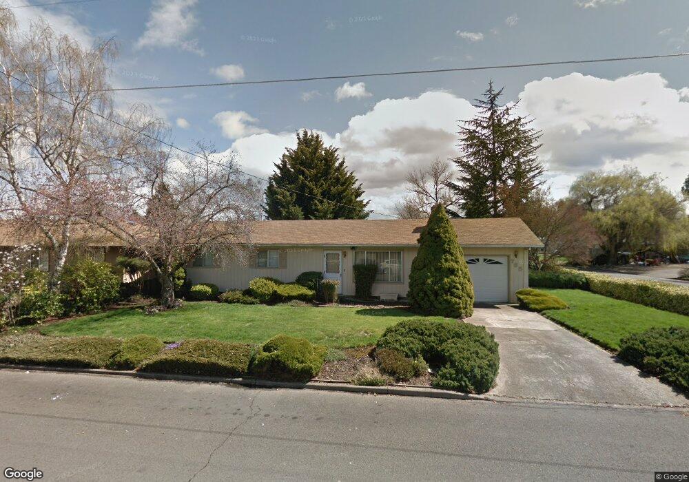
765 S 5th St Central Point, OR 97502
Estimated Value: $259,000 - $331,211
3
Beds
1
Bath
1,104
Sq Ft
$278/Sq Ft
Est. Value
About This Home
This home is located at 765 S 5th St, Central Point, OR 97502 and is currently estimated at $307,303, approximately $278 per square foot. 765 S 5th St is a home located in Jackson County with nearby schools including Central Point Elementary School, Scenic Middle School, and Crater High School.
Ownership History
Date
Name
Owned For
Owner Type
Purchase Details
Closed on
Oct 26, 2016
Sold by
Ford Christopher D and Ford Kate L
Bought by
Cook Zori and Radford Daniel
Current Estimated Value
Home Financials for this Owner
Home Financials are based on the most recent Mortgage that was taken out on this home.
Original Mortgage
$190,000
Outstanding Balance
$151,285
Interest Rate
3.5%
Mortgage Type
FHA
Estimated Equity
$156,018
Purchase Details
Closed on
Aug 4, 2014
Sold by
Norman Kevin L and Norman Garan B
Bought by
Love John Michael and Love Paula Patricia
Create a Home Valuation Report for This Property
The Home Valuation Report is an in-depth analysis detailing your home's value as well as a comparison with similar homes in the area
Purchase History
| Date | Buyer | Sale Price | Title Company |
|---|---|---|---|
| Cook Zori | $200,000 | Ticor Title Company Of Or | |
| Love John Michael | $123,000 | Ticor Title | |
| Nrman Kevin L | -- | Ticor Title |
Source: Public Records
Mortgage History
| Date | Status | Borrower | Loan Amount |
|---|---|---|---|
| Open | Cook Zori | $190,000 |
Source: Public Records
Tax History
| Year | Tax Paid | Tax Assessment Tax Assessment Total Assessment is a certain percentage of the fair market value that is determined by local assessors to be the total taxable value of land and additions on the property. | Land | Improvement |
|---|---|---|---|---|
| 2026 | $3,328 | $201,100 | -- | -- |
| 2025 | $3,246 | $195,250 | $99,260 | $95,990 |
| 2024 | $3,246 | $189,570 | $96,370 | $93,200 |
| 2023 | $3,142 | $184,050 | $93,560 | $90,490 |
| 2022 | $3,068 | $184,050 | $93,560 | $90,490 |
| 2021 | $2,981 | $178,690 | $90,830 | $87,860 |
| 2020 | $2,894 | $173,490 | $88,190 | $85,300 |
| 2019 | $2,823 | $163,540 | $83,130 | $80,410 |
| 2018 | $2,770 | $158,780 | $80,710 | $78,070 |
| 2017 | $2,657 | $158,780 | $80,710 | $78,070 |
| 2016 | $2,590 | $149,670 | $76,080 | $73,590 |
| 2015 | $2,426 | $146,110 | $56,500 | $89,610 |
| 2014 | -- | $129,120 | $49,140 | $79,980 |
Source: Public Records
Map
Nearby Homes
- 755 S 4th St
- 736 Hemlock Ave
- 555 Freeman Rd Unit 73
- 555 Freeman Rd Unit 254
- 555 Freeman Rd Unit 105
- 555 Freeman Rd Unit 209
- 3364 Bursell Rd
- 887 Silver Fox Dr
- 114 Cedar St
- 1189 Lindsey Ct
- 3358 Bursell Rd
- 436 Cheney Loop
- 220 S 3rd St
- 350 Alder St
- 1204 Heather Ln
- 301 Freeman Rd Unit 30
- 301 Freeman Rd Unit 92
- 301 Freeman Rd Unit 91
- 1630 Timothy St
- 185 Logan Ave
Your Personal Tour Guide
Ask me questions while you tour the home.