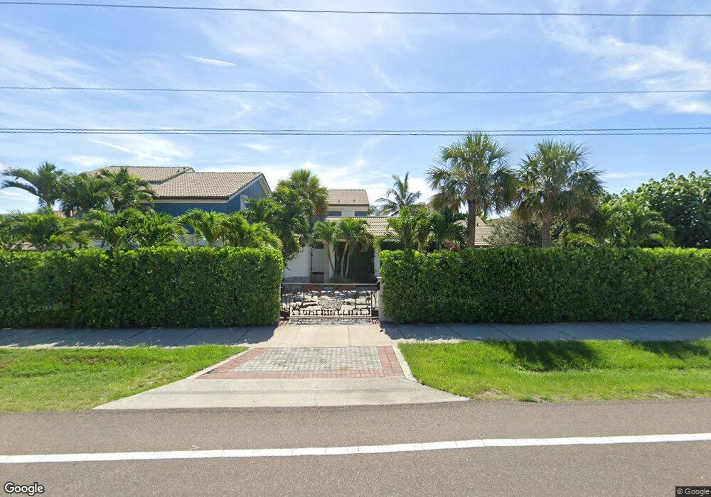
765 S Atlantic Ave Unit A&B Cocoa Beach, FL 32931
Estimated Value: $2,455,000 - $4,178,000
6
Beds
7
Baths
5,518
Sq Ft
$597/Sq Ft
Est. Value
About This Home
This home is located at 765 S Atlantic Ave Unit A&B, Cocoa Beach, FL 32931 and is currently estimated at $3,293,961, approximately $596 per square foot. 765 S Atlantic Ave Unit A&B is a home located in Brevard County with nearby schools including Theodore Roosevelt Elementary School, Cocoa Beach Junior/Senior High School, and Cocoa Beach Christian School.
Ownership History
Date
Name
Owned For
Owner Type
Purchase Details
Closed on
Feb 21, 2013
Sold by
Pardula Herbert and Bryan Colleen M
Bought by
Pardula Herbert and Bryan Colleen M
Current Estimated Value
Purchase Details
Closed on
Apr 24, 2012
Sold by
Big Sky Cocoa Beach Llc
Bought by
Pardula Herbert and Herb Pardula Living Trust
Purchase Details
Closed on
May 5, 2008
Sold by
Harris Gordon H and Harris Dorothy L
Bought by
Big Sky Cocoa Beach Llc
Create a Home Valuation Report for This Property
The Home Valuation Report is an in-depth analysis detailing your home's value as well as a comparison with similar homes in the area
Home Values in the Area
Average Home Value in this Area
Purchase History
| Date | Buyer | Sale Price | Title Company |
|---|---|---|---|
| Pardula Herbert | -- | None Available | |
| Pardula Herbert | $1,020,000 | Attorney | |
| Big Sky Cocoa Beach Llc | -- | Attorney |
Source: Public Records
Tax History Compared to Growth
Tax History
| Year | Tax Paid | Tax Assessment Tax Assessment Total Assessment is a certain percentage of the fair market value that is determined by local assessors to be the total taxable value of land and additions on the property. | Land | Improvement |
|---|---|---|---|---|
| 2025 | $20,774 | $1,362,520 | -- | -- |
| 2024 | $20,438 | $1,324,130 | -- | -- |
| 2023 | $20,438 | $1,285,570 | $0 | $0 |
| 2022 | $19,099 | $1,248,130 | $0 | $0 |
| 2021 | $19,147 | $1,211,780 | $0 | $0 |
| 2020 | $19,025 | $1,195,050 | $0 | $0 |
| 2019 | $18,970 | $1,168,190 | $0 | $0 |
| 2018 | $18,931 | $1,146,410 | $0 | $0 |
| 2017 | $19,108 | $1,122,840 | $0 | $0 |
| 2016 | $19,095 | $1,099,750 | $934,380 | $165,370 |
| 2015 | $19,058 | $1,092,110 | $934,380 | $157,730 |
| 2014 | $19,153 | $1,083,450 | $853,130 | $230,320 |
Source: Public Records
Map
Nearby Homes
- 701 S Orlando Ave
- 637 S Orlando Ave
- 801 S Brevard Ave Unit G
- 640 S Brevard Ave Unit 1234
- 760 S Brevard Ave Unit 219
- 760 S Brevard Ave Unit 321
- 933 S Atlantic Ave
- 550 S Brevard Ave Unit 523
- 921 S Orlando Ave
- 660 S Brevard Ave Unit 1515
- 931 S Orlando Ave
- 320 S Brevard Ave
- 315 S Brevard Ave
- 630 S Brevard Ave Unit 1132
- 530 S Brevard Ave Unit 315
- 530 S Brevard Ave Unit 322
- 540 S Brevard Ave Unit 412
- 1000 S Orlando Ave
- 580 S Brevard Ave Unit 817
- 451 S Brevard Ave Unit 14
- 765 S Atlantic Ave
- 755 S Atlantic Ave
- 789 S Atlantic Ave
- 747 S Atlantic Ave
- 741 S Atlantic Ave
- 733 S Atlantic Ave
- 801 S Atlantic Ave
- 782 S Atlantic Ave
- 790 S Atlantic Ave
- 725 S Atlantic Ave
- 736 S Atlantic Ave Unit 701
- 736 S Atlantic Ave Unit 703
- 736 S Atlantic Ave Unit 706
- 736 S Atlantic Ave Unit 603
- 736 S Atlantic Ave
- 718 S Atlantic Ave Unit 104
- 738 S Atlantic Ave Unit 804
- 738 S Atlantic Ave Unit 802
- 718 S Atlantic Ave Unit 403
- 718 S Atlantic Ave Unit 201