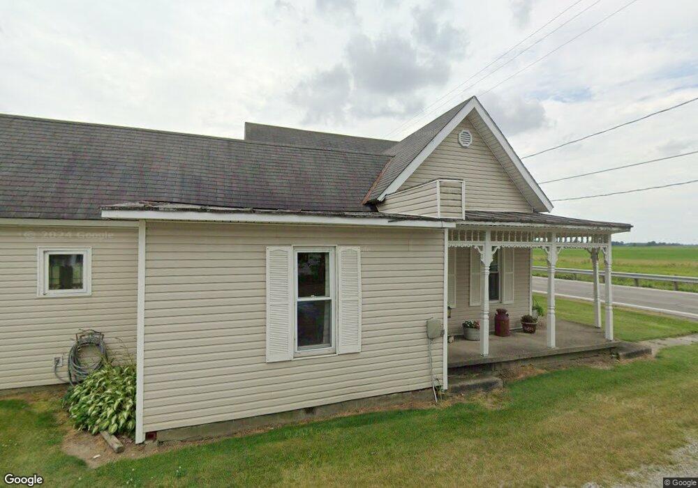
765 S East St Mc Clure, OH 43534
Estimated Value: $116,000 - $138,000
4
Beds
1
Bath
1,458
Sq Ft
$87/Sq Ft
Est. Value
About This Home
This home is located at 765 S East St, Mc Clure, OH 43534 and is currently estimated at $127,542, approximately $87 per square foot. 765 S East St is a home located in Henry County with nearby schools including Napoleon Elementary School and Napoleon Junior/Senior High School.
Ownership History
Date
Name
Owned For
Owner Type
Purchase Details
Closed on
Jan 23, 2002
Sold by
Mcbroom Mark C
Bought by
Vanslyck Todd and Vanslyck Lee A
Current Estimated Value
Home Financials for this Owner
Home Financials are based on the most recent Mortgage that was taken out on this home.
Original Mortgage
$81,370
Outstanding Balance
$33,535
Interest Rate
7.16%
Mortgage Type
New Conventional
Estimated Equity
$94,007
Purchase Details
Closed on
May 31, 1996
Sold by
Dunlap Duane O
Bought by
Mcbroom Mark C
Home Financials for this Owner
Home Financials are based on the most recent Mortgage that was taken out on this home.
Original Mortgage
$61,031
Interest Rate
7.99%
Mortgage Type
New Conventional
Create a Home Valuation Report for This Property
The Home Valuation Report is an in-depth analysis detailing your home's value as well as a comparison with similar homes in the area
Home Values in the Area
Average Home Value in this Area
Purchase History
| Date | Buyer | Sale Price | Title Company |
|---|---|---|---|
| Vanslyck Todd | $81,370 | -- | |
| Mcbroom Mark C | $60,000 | -- |
Source: Public Records
Mortgage History
| Date | Status | Borrower | Loan Amount |
|---|---|---|---|
| Open | Vanslyck Todd | $81,370 | |
| Previous Owner | Mcbroom Mark C | $61,031 |
Source: Public Records
Tax History Compared to Growth
Tax History
| Year | Tax Paid | Tax Assessment Tax Assessment Total Assessment is a certain percentage of the fair market value that is determined by local assessors to be the total taxable value of land and additions on the property. | Land | Improvement |
|---|---|---|---|---|
| 2024 | $1,344 | $28,780 | $4,100 | $24,680 |
| 2023 | $1,344 | $28,780 | $4,100 | $24,680 |
| 2022 | $1,226 | $45,480 | $5,620 | $39,860 |
| 2021 | $1,226 | $22,740 | $2,810 | $19,930 |
| 2020 | $1,244 | $22,740 | $2,810 | $19,930 |
| 2019 | $1,120 | $19,890 | $2,650 | $17,240 |
| 2018 | $1,126 | $19,890 | $2,650 | $17,240 |
| 2017 | $1,062 | $19,890 | $2,650 | $17,240 |
| 2016 | $916 | $16,640 | $2,650 | $13,990 |
| 2015 | $902 | $16,640 | $2,650 | $13,990 |
| 2014 | $1,016 | $16,640 | $2,650 | $13,990 |
| 2013 | $1,016 | $18,650 | $2,650 | $16,000 |
Source: Public Records
Map
Nearby Homes
- 440 Vine St
- 335 E North St
- 325 E North St
- 7242 Township Road 117
- 24525 Village Ln Unit 24525
- 3374 County Road J
- S261 County Road 4
- 24432 W 3rd St
- 23912 E 2nd St
- 23763 Front St
- 17645 Sycamore Rd
- 9173 County Road P3
- 208 N Henry St
- 22327 U S 6
- 104 S Turkey Foot Ave
- 14060 Harrison Rd
- 22888 Wintergreen Rd
- 0 Manore Lot A Rd Unit 6130402
- 0 Manore Lot B Rd Unit 6130403
- 600 North St
- 755 S East St
- 859 State Route 65
- 760 S Haley St
- 735 S East St
- 744 S Haley St
- 725 S East St
- 765 S Haley St
- 745 S Haley St
- 715 S East St
- 779 S Haley St
- 735 S Haley St
- 1449 State Route 65
- 775 S Haley St
- N476 State Route 65
- 725 S Haley St
- 215 Coldwater St
- 620 S East St
- 645 S East St
- 235 Coldwater Rd
- 235 Coldwater St