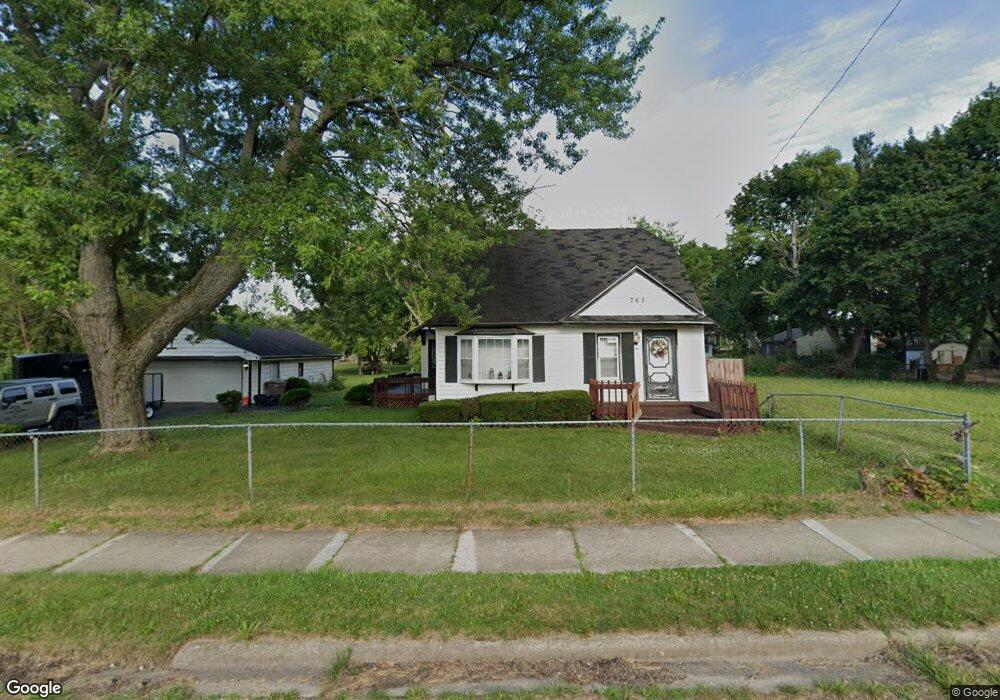
765 Stirling St Unit Bldg-Unit Pontiac, MI 48340
Estimated Value: $92,000 - $133,707
--
Bed
1
Bath
--
Sq Ft
6,142
Sq Ft Lot
About This Home
This home is located at 765 Stirling St Unit Bldg-Unit, Pontiac, MI 48340 and is currently estimated at $115,927. 765 Stirling St Unit Bldg-Unit is a home located in Oakland County with nearby schools including Herrington Elementary School, Pontiac Middle School, and Pontiac High School.
Ownership History
Date
Name
Owned For
Owner Type
Purchase Details
Closed on
Jul 28, 2020
Sold by
Williams Fonda L
Bought by
Morales Celestemaria
Current Estimated Value
Home Financials for this Owner
Home Financials are based on the most recent Mortgage that was taken out on this home.
Original Mortgage
$86,406
Outstanding Balance
$76,648
Interest Rate
3%
Mortgage Type
FHA
Estimated Equity
$39,279
Purchase Details
Closed on
Jun 15, 1998
Sold by
Countrywide Home Loan In
Bought by
Department Of Veterans Affairs
Create a Home Valuation Report for This Property
The Home Valuation Report is an in-depth analysis detailing your home's value as well as a comparison with similar homes in the area
Home Values in the Area
Average Home Value in this Area
Purchase History
| Date | Buyer | Sale Price | Title Company |
|---|---|---|---|
| Morales Celestemaria | $88,000 | First American Title Ins Co | |
| Department Of Veterans Affairs | -- | -- |
Source: Public Records
Mortgage History
| Date | Status | Borrower | Loan Amount |
|---|---|---|---|
| Open | Morales Celestemaria | $86,406 |
Source: Public Records
Tax History Compared to Growth
Tax History
| Year | Tax Paid | Tax Assessment Tax Assessment Total Assessment is a certain percentage of the fair market value that is determined by local assessors to be the total taxable value of land and additions on the property. | Land | Improvement |
|---|---|---|---|---|
| 2024 | $297 | $11,100 | $0 | $0 |
| 2023 | $284 | $9,720 | $0 | $0 |
| 2022 | $275 | $8,480 | $0 | $0 |
| 2021 | $267 | $7,120 | $0 | $0 |
| 2020 | $238 | $6,140 | $0 | $0 |
| 2019 | $241 | $5,380 | $0 | $0 |
| 2017 | $152 | $4,760 | $0 | $0 |
| 2016 | $151 | $4,350 | $0 | $0 |
| 2015 | -- | $4,070 | $0 | $0 |
| 2014 | -- | $3,980 | $0 | $0 |
| 2011 | -- | $7,250 | $0 | $0 |
Source: Public Records
Map
Nearby Homes
- 821 Robinwood St
- 785 Kenilworth Ave
- 790 Parkwood Ave
- 715 Kenilworth Ave
- 770 Cameron Ave
- 790 Cameron Ave
- 802 Cameron Ave
- 644 Brady Ln
- 608 Brady Ln
- 602 Brady Ln
- 457 Cameron Ave
- 808 Kettering Ave
- 597 Brady Ln
- 591 Brady Ln
- 667 Raskob St
- Fairfiled Plan at Fairview Village
- Enclave II Plan at Fairview Village
- Enclave Plan at Fairview Village
- Carlyle Plan at Fairview Village
- 663 Lenox Ave
- 765 Stirling St
- 765 S Stirling
- 771 Stirling St
- 775 Stirling St
- 764 Robinwood St
- 770 Robinwood St
- 781 Stirling St
- 774 Robinwood St
- 751 Stirling St
- 760 S Stirling
- 770 Stirling St
- 760 Stirling St
- 750 Robinwood St
- 780 Robinwood St
- 774 Stirling St
- 754 Stirling St
- 785 Stirling St
- 780 Stirling St
- 750 Stirling St
- 787 Stirling St