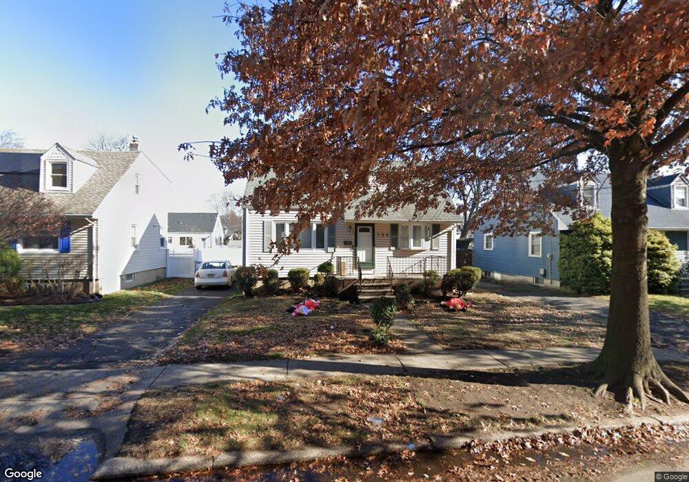
765 Walnut Ave Cranford, NJ 07016
Estimated Value: $518,229 - $701,000
Studio
--
Bath
1,584
Sq Ft
$388/Sq Ft
Est. Value
About This Home
This home is located at 765 Walnut Ave, Cranford, NJ 07016 and is currently estimated at $614,807, approximately $388 per square foot. 765 Walnut Ave is a home located in Union County with nearby schools including Cranford Sr High School, Featherbed Lane School of Clark, and Mother Seton Regional High School.
Ownership History
Date
Name
Owned For
Owner Type
Purchase Details
Closed on
Sep 19, 2001
Sold by
Leeman Donna and Leeman Mary
Bought by
Katz Donna and Katz Michael
Current Estimated Value
Home Financials for this Owner
Home Financials are based on the most recent Mortgage that was taken out on this home.
Original Mortgage
$175,000
Interest Rate
6.48%
Purchase Details
Closed on
Jun 18, 1997
Sold by
Williamson Wayne and Williamson Rose Marie
Bought by
Leeman Donna and Leeman Mary
Home Financials for this Owner
Home Financials are based on the most recent Mortgage that was taken out on this home.
Original Mortgage
$148,262
Interest Rate
7.81%
Mortgage Type
FHA
Purchase Details
Closed on
Aug 8, 1994
Sold by
Burke Kathryn A and Vaktar Catherine
Bought by
Williamson Wayne and Williamson Rose Marie
Create a Home Valuation Report for This Property
The Home Valuation Report is an in-depth analysis detailing your home's value as well as a comparison with similar homes in the area
Home Values in the Area
Average Home Value in this Area
Purchase History
| Date | Buyer | Sale Price | Title Company |
|---|---|---|---|
| Katz Donna | -- | Commonwealth Land Title Ins | |
| Leeman Donna | $155,000 | -- | |
| Williamson Wayne | $127,000 | -- |
Source: Public Records
Mortgage History
| Date | Status | Borrower | Loan Amount |
|---|---|---|---|
| Closed | Katz Donna | $175,000 | |
| Previous Owner | Leeman Donna | $148,262 |
Source: Public Records
Tax History
| Year | Tax Paid | Tax Assessment Tax Assessment Total Assessment is a certain percentage of the fair market value that is determined by local assessors to be the total taxable value of land and additions on the property. | Land | Improvement |
|---|---|---|---|---|
| 2025 | $9,375 | $138,300 | $63,700 | $74,600 |
| 2024 | $9,220 | $138,300 | $63,700 | $74,600 |
| 2023 | $9,220 | $138,300 | $63,700 | $74,600 |
| 2022 | $9,144 | $138,300 | $63,700 | $74,600 |
| 2021 | $9,104 | $138,300 | $63,700 | $74,600 |
| 2020 | $9,075 | $138,300 | $63,700 | $74,600 |
| 2019 | $9,017 | $138,300 | $63,700 | $74,600 |
| 2018 | $8,854 | $138,300 | $63,700 | $74,600 |
| 2017 | $8,550 | $138,300 | $63,700 | $74,600 |
| 2016 | $8,239 | $138,300 | $63,700 | $74,600 |
| 2015 | $8,023 | $138,300 | $63,700 | $74,600 |
| 2014 | $7,858 | $138,300 | $63,700 | $74,600 |
Source: Public Records
Map
Nearby Homes
- 302 New York Ave
- 7 Colin Kelly St
- 122 Central Ave
- 17 Cherokee Rd
- 1921 Grandview Ave
- 301 Denman Rd
- 106 Frazee Ct
- 19 Munsee Dr
- 45 Lexington Blvd
- 331 West Ln
- 262 Valley Rd
- 13 Roger Ave
- 205 West Ln
- 2 Roger Ave
- 275 Valley Rd
- 272 Westfield Ave
- 2849 Verona Ave
- 85 Fulton St
- 157 Westfield Ave
- 501 Centennial Ave
- 767 Walnut Ave
- 763 Walnut Ave
- 761 Walnut Ave
- 101 Colin Kelly Ct
- 105 Colin Kelly Ct
- 103 Colin Kelly Ct
- 107 Colin Kelly Ct
- 759 Walnut Ave
- 109 Colin Kelly Ct
- 757 Walnut Ave
- 100 Colin Kelly Ct
- 102 Colin Kelly Ct
- 104 Colin Kelly Ct
- 755 Walnut Ave
- 111 Colin Kelly Ct
- 753 Walnut Ave
- 22 Pershing Ave
- 20 Pershing Ave
- 18 Pershing Ave
- 26 Pershing Ave
Your Personal Tour Guide
Ask me questions while you tour the home.