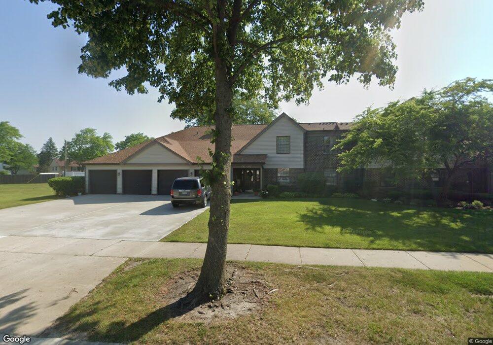
765 White Pine Rd Unit 5B1 Buffalo Grove, IL 60089
South Buffalo Grove NeighborhoodEstimated Value: $263,000 - $303,000
2
Beds
--
Bath
1,150
Sq Ft
$243/Sq Ft
Est. Value
About This Home
This home is located at 765 White Pine Rd Unit 5B1, Buffalo Grove, IL 60089 and is currently estimated at $279,641, approximately $243 per square foot. 765 White Pine Rd Unit 5B1 is a home located in Cook County with nearby schools including Henry W Longfellow Elementary School, Cooper Middle School, and Buffalo Grove High School.
Ownership History
Date
Name
Owned For
Owner Type
Purchase Details
Closed on
Sep 6, 2018
Sold by
Langer David P
Bought by
Langer David P and The David Langer Living Trust
Current Estimated Value
Purchase Details
Closed on
Jul 29, 2016
Sold by
Pawlak Joan and Overholt Suzanne S
Bought by
Langer David P
Purchase Details
Closed on
Mar 13, 2000
Sold by
Stanko Teresa M and Molloy Teresa M
Bought by
Overholt Suzanne S
Home Financials for this Owner
Home Financials are based on the most recent Mortgage that was taken out on this home.
Original Mortgage
$124,200
Interest Rate
8.3%
Create a Home Valuation Report for This Property
The Home Valuation Report is an in-depth analysis detailing your home's value as well as a comparison with similar homes in the area
Home Values in the Area
Average Home Value in this Area
Purchase History
| Date | Buyer | Sale Price | Title Company |
|---|---|---|---|
| Langer David P | -- | None Available | |
| Langer David P | $160,000 | Heritage Title Company | |
| Overholt Suzanne S | $138,000 | -- |
Source: Public Records
Mortgage History
| Date | Status | Borrower | Loan Amount |
|---|---|---|---|
| Previous Owner | Overholt Suzanne S | $124,200 |
Source: Public Records
Tax History Compared to Growth
Tax History
| Year | Tax Paid | Tax Assessment Tax Assessment Total Assessment is a certain percentage of the fair market value that is determined by local assessors to be the total taxable value of land and additions on the property. | Land | Improvement |
|---|---|---|---|---|
| 2024 | $5,350 | $20,033 | $2,965 | $17,068 |
| 2023 | $5,115 | $20,033 | $2,965 | $17,068 |
| 2022 | $5,115 | $20,033 | $2,965 | $17,068 |
| 2021 | $4,585 | $16,308 | $411 | $15,897 |
| 2020 | $4,540 | $16,308 | $411 | $15,897 |
| 2019 | $4,533 | $18,070 | $411 | $17,659 |
| 2018 | $3,795 | $14,456 | $329 | $14,127 |
| 2017 | $3,746 | $14,456 | $329 | $14,127 |
| 2016 | $4,540 | $14,456 | $329 | $14,127 |
| 2015 | $1,754 | $13,301 | $1,400 | $11,901 |
| 2014 | $1,689 | $13,301 | $1,400 | $11,901 |
| 2013 | $1,599 | $13,301 | $1,400 | $11,901 |
Source: Public Records
Map
Nearby Homes
- 665 Thornwood Dr
- 820 Weidner Rd Unit 409
- 813 Stradford Cir Unit 21B2
- 535 Estate Dr
- 859 Beechwood Rd
- 455 Mayfair Ln
- 3300 N Carriageway Dr Unit 317
- 410 Chatham Cir
- 561 Park View Terrace Unit 153
- 476 Raupp Blvd
- 408 Indian Hill Dr
- 1127 Miller Ln Unit 107
- 1115 Miller Ln Unit 104
- 972 Thornton Ln Unit 102
- 310 Rosewood Ave
- 921 Bernard Dr
- 250 Old Oak Dr Unit 275
- 234 Mohawk Trail
- 3157 N Daniels Ct Unit 1502
- 18 E Heritage Ct
- 767 White Pine Rd Unit 5B2
- 771 White Pine Rd Unit 5C1
- 763 White Pine Rd Unit 5A2
- 761 White Pine Rd Unit 5A1
- 773 White Pine Rd Unit 5C2
- 765 White Pine Rd Unit 765
- 775 White Pine Rd Unit 5D1
- 777 White Pine Rd Unit 5D2
- 698 Hapsfield Ln Unit 4A2
- 696 Hapsfield Ln Unit 4A1
- 778 White Pine Rd Unit D2
- 778 White Pine Rd Unit 6D2
- 774 White Pine Rd Unit 6C2
- 694 Hapsfield Ln Unit 4B2
- 772 White Pine Rd Unit 6C1
- 722 Hapsfield Ln Unit 7D1
- 768 White Pine Rd Unit 6B2
- 766 White Pine Rd Unit B-1
- 766 White Pine Rd Unit 766
- 692 Hapsfield Ln Unit 4B1