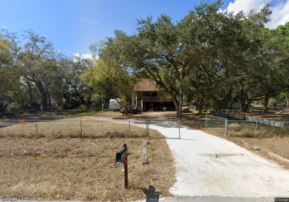
7650 Suncoast Dr North Fort Myers, FL 33917
Estimated Value: $146,000 - $236,000
3
Beds
2
Baths
1,514
Sq Ft
$134/Sq Ft
Est. Value
About This Home
This home is located at 7650 Suncoast Dr, North Fort Myers, FL 33917 and is currently estimated at $202,342, approximately $133 per square foot. 7650 Suncoast Dr is a home located in Lee County with nearby schools including J. Colin English Elementary School, Dr. Carrie D. Robinson Littleton Elementary School, and Tropic Isles Elementary School.
Ownership History
Date
Name
Owned For
Owner Type
Purchase Details
Closed on
Feb 6, 2013
Sold by
Ferrell Bobby Dee
Bought by
Ready Leta Ann
Current Estimated Value
Purchase Details
Closed on
Dec 16, 1994
Sold by
Gordon Raymond and Gordon Marianne
Bought by
Ferrell Bobby D and Ready Leta A
Home Financials for this Owner
Home Financials are based on the most recent Mortgage that was taken out on this home.
Original Mortgage
$61,963
Interest Rate
9.07%
Mortgage Type
FHA
Create a Home Valuation Report for This Property
The Home Valuation Report is an in-depth analysis detailing your home's value as well as a comparison with similar homes in the area
Home Values in the Area
Average Home Value in this Area
Purchase History
| Date | Buyer | Sale Price | Title Company |
|---|---|---|---|
| Ready Leta Ann | -- | None Available | |
| Ferrell Bobby D | $62,000 | -- |
Source: Public Records
Mortgage History
| Date | Status | Borrower | Loan Amount |
|---|---|---|---|
| Previous Owner | Ferrell Bobby D | $61,963 |
Source: Public Records
Tax History Compared to Growth
Tax History
| Year | Tax Paid | Tax Assessment Tax Assessment Total Assessment is a certain percentage of the fair market value that is determined by local assessors to be the total taxable value of land and additions on the property. | Land | Improvement |
|---|---|---|---|---|
| 2025 | $1,505 | $125,275 | -- | -- |
| 2024 | $1,452 | $121,744 | -- | -- |
| 2023 | $1,452 | $118,198 | $0 | $0 |
| 2022 | $1,599 | $114,755 | $0 | $0 |
| 2021 | $1,535 | $136,193 | $15,637 | $120,556 |
| 2020 | $1,532 | $109,875 | $0 | $0 |
| 2019 | $1,491 | $107,405 | $11,872 | $95,533 |
| 2018 | $1,862 | $129,204 | $11,872 | $117,332 |
| 2017 | $1,500 | $107,394 | $8,904 | $98,490 |
| 2016 | $1,273 | $86,110 | $9,712 | $76,398 |
| 2015 | $992 | $50,104 | $5,223 | $44,881 |
| 2014 | $884 | $42,098 | $7,179 | $34,919 |
| 2013 | -- | $54,901 | $5,153 | $49,748 |
Source: Public Records
Map
Nearby Homes
- 7705 Mcdaniel Dr
- 7580 Marx Dr
- 736 Knotty Pine Cir
- 7623 Breeze Dr
- 737 Knotty Pine Cir
- 15934 Blue Skies Dr Unit 351
- 7689 Ebson Dr
- 775 Knotty Pine Cir
- 763 Knotty Pine Cir
- 7713 Ebson Dr
- 15953 Blue Skies Dr Unit 311
- 15878 Blue Skies Dr Unit 337
- 15887 Blue Skies Dr Unit 299
- 413 Timber Ln N
- 511 Pine Tree Ct
- 15870 Blue Skies Dr Unit 335
- 7627 Peyraud Dr
- 15973 Blue Skies Dr
- 7616 Grady Dr
- 5191 Forest Park Dr
- 2197 Bahia Ln
- 7636 Suncoast Dr
- 2193 Bahia Ln
- 7620 Suncoast Dr
- 7633 Mcdaniel Dr
- 2198 Bahia Ln
- 2170 Bahia Ln
- 2194 Bahia Ln
- 7619 Suncoast Dr
- 2232 Bahia Ln
- 7645 Mcdaniel Dr
- 7635 Mcdaniel Dr
- 7619 Mcdaniel Dr
- 7603 Suncoast Dr
- 7640 Hart Dr
- 7656 Hart Dr
- 7603 Mcdaniel Dr
- 2076 Bahia Ln
- 7630 Hart Dr
- 7646 Hart Dr