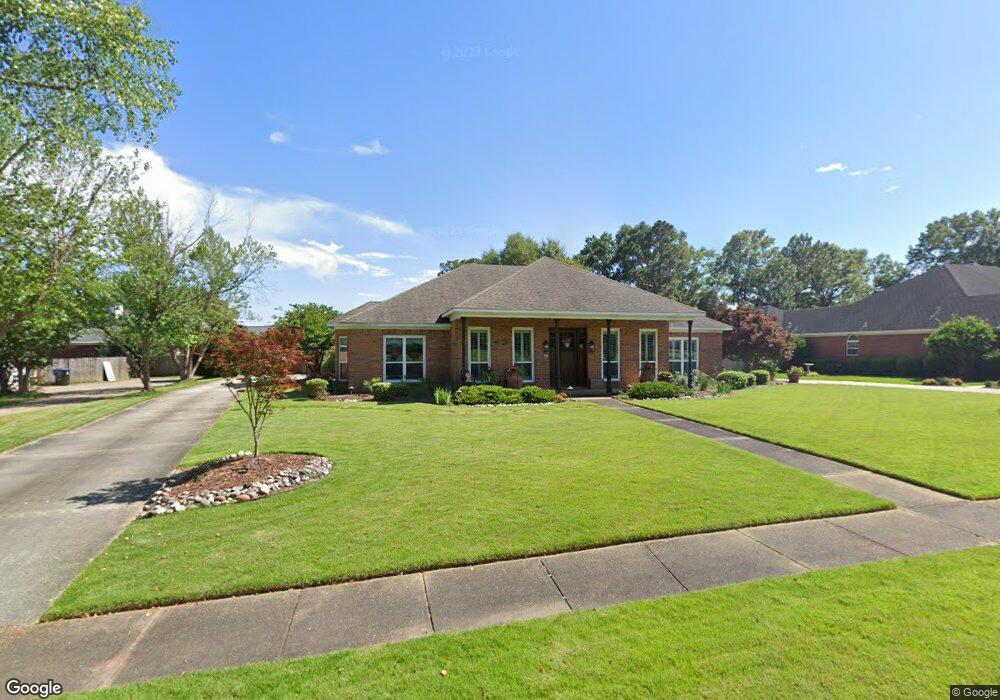
7653 Pembroke Cir Mobile, AL 36695
Sheldon NeighborhoodEstimated Value: $380,088 - $515,000
4
Beds
4
Baths
3,286
Sq Ft
$135/Sq Ft
Est. Value
About This Home
This home is located at 7653 Pembroke Cir, Mobile, AL 36695 and is currently estimated at $442,772, approximately $134 per square foot. 7653 Pembroke Cir is a home located in Mobile County with nearby schools including ER Dickson Elementary School, Bernice J Causey Middle School, and WP Davidson High School.
Ownership History
Date
Name
Owned For
Owner Type
Purchase Details
Closed on
Nov 2, 2022
Sold by
Polansky Daniel A and Polansky Sharon Lynn
Bought by
Polansky Daniel A and Polansky Sharon Lynn
Current Estimated Value
Purchase Details
Closed on
Dec 9, 1999
Sold by
Snoddy David F and Snoddy Lisa S
Bought by
Polansky Daniel A
Home Financials for this Owner
Home Financials are based on the most recent Mortgage that was taken out on this home.
Original Mortgage
$176,000
Interest Rate
7.87%
Purchase Details
Closed on
Nov 4, 1997
Sold by
Bruno Peterer and Bruno Claudis
Bought by
Snoddy David F and Snoddy Lisa S
Home Financials for this Owner
Home Financials are based on the most recent Mortgage that was taken out on this home.
Original Mortgage
$173,900
Interest Rate
6.86%
Create a Home Valuation Report for This Property
The Home Valuation Report is an in-depth analysis detailing your home's value as well as a comparison with similar homes in the area
Home Values in the Area
Average Home Value in this Area
Purchase History
| Date | Buyer | Sale Price | Title Company |
|---|---|---|---|
| Polansky Daniel A | -- | -- | |
| Polansky Daniel A | $203,500 | -- | |
| Snoddy David F | -- | -- |
Source: Public Records
Mortgage History
| Date | Status | Borrower | Loan Amount |
|---|---|---|---|
| Previous Owner | Polansky Daniel A | $176,000 | |
| Previous Owner | Snoddy David F | $173,900 |
Source: Public Records
Tax History
| Year | Tax Paid | Tax Assessment Tax Assessment Total Assessment is a certain percentage of the fair market value that is determined by local assessors to be the total taxable value of land and additions on the property. | Land | Improvement |
|---|---|---|---|---|
| 2025 | $1,739 | $37,010 | $4,950 | $32,060 |
| 2024 | $1,739 | $35,560 | $4,500 | $31,060 |
| 2023 | $1,669 | $33,040 | $4,500 | $28,540 |
| 2022 | $1,571 | $33,780 | $4,500 | $29,280 |
| 2021 | $1,495 | $32,190 | $4,500 | $27,690 |
| 2020 | $1,528 | $32,870 | $4,500 | $28,370 |
| 2019 | $1,517 | $32,650 | $5,000 | $27,650 |
| 2018 | $1,534 | $33,000 | $0 | $0 |
| 2017 | $1,501 | $32,320 | $0 | $0 |
| 2016 | $1,533 | $32,980 | $0 | $0 |
| 2013 | $1,565 | $30,040 | $0 | $0 |
Source: Public Records
Map
Nearby Homes
- 7693 Pembroke Cir
- 1337 Carson Rd W
- 1291 Carson Rd W
- 1542 Stone Hedge Dr W
- 1171 Newbury Ln E
- 1265 Hanover Ct
- 8621 Grelot Rd
- 7271 Carson Rd S
- 1361 Dellwyn Ct
- 1130 Jonathan Ct
- 1350 A Schillinger Rd S
- 1350 Schillinger Rd S
- 1484 Pebble Creek Dr
- 8050 Saint Jude Cir N
- 1000 Choctaw Bluff Rd
- 8051 Kimberlin Dr S
- 1645 Ashmoor Dr E
- 7485 Creekwood Dr
- 836 Willow Bridge Dr W
- 7671 Creekwood Dr
- 7643 Pembroke Cir
- 7683 Pembroke Cir
- 7633 Pembroke Cir
- 1365 Cameron Dr
- 7670 Bedford Ct
- 1374 Cameron Dr
- 7652 Pembroke Cir
- 7672 Pembroke Cir
- 1385 Cameron Dr
- 7680 Bedford Ct
- 7642 Pembroke Cir Unit 1
- 7682 Pembroke Cir
- 7632 Pembroke Cir
- 7690 Bedford Ct
- 7692 Pembroke Cir
- 7703 Pembroke Cir
- 33 Pembroke Cir
- 1350 Cameron Dr
- 1350 Cameron Dr Unit 37
- 7651 Cameron Ct Unit 2