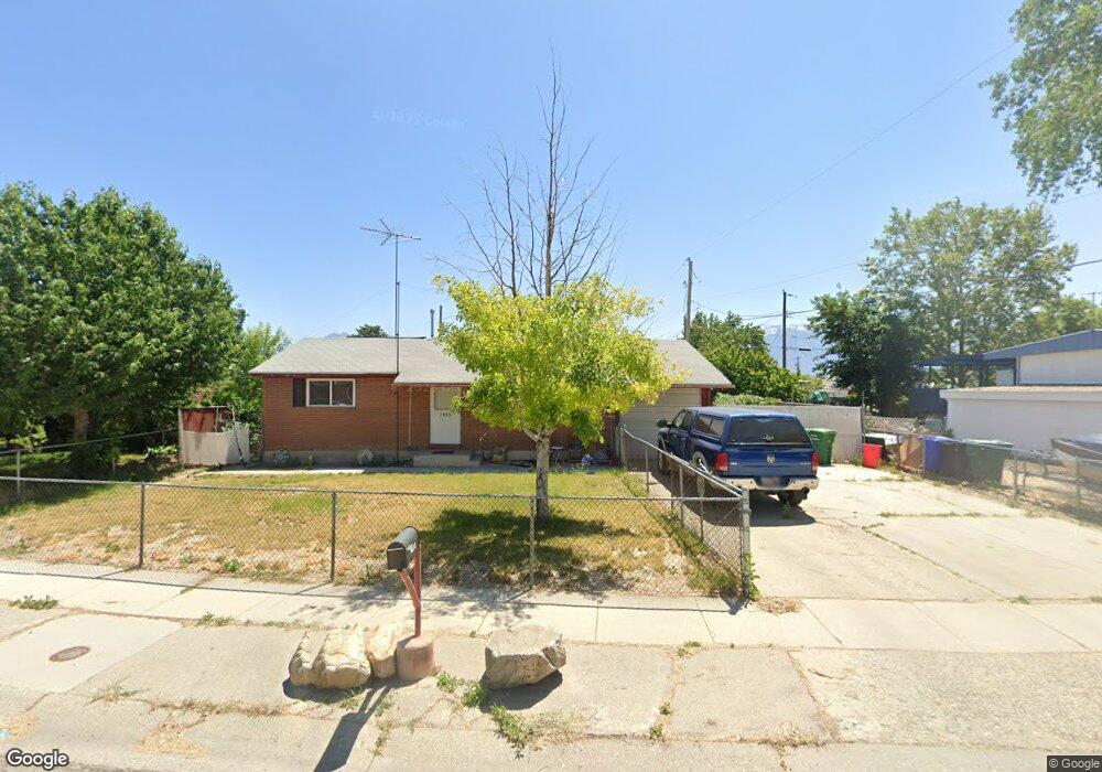
7655 Uranium Dr West Jordan, UT 84084
Estimated Value: $423,000 - $472,000
2
Beds
1
Bath
900
Sq Ft
$494/Sq Ft
Est. Value
About This Home
This home is located at 7655 Uranium Dr, West Jordan, UT 84084 and is currently estimated at $444,832, approximately $494 per square foot. 7655 Uranium Dr is a home located in Salt Lake County with nearby schools including Majestic Elementary Arts Academy, West Jordan Middle School, and West Jordan High School.
Ownership History
Date
Name
Owned For
Owner Type
Purchase Details
Closed on
Oct 29, 2025
Sold by
Kunz Ella Mae
Bought by
Juarez Lori Ann
Current Estimated Value
Purchase Details
Closed on
Nov 1, 2022
Sold by
Michaels Kevin D
Bought by
Juarez Lori A
Home Financials for this Owner
Home Financials are based on the most recent Mortgage that was taken out on this home.
Original Mortgage
$205,000
Interest Rate
6.02%
Mortgage Type
New Conventional
Create a Home Valuation Report for This Property
The Home Valuation Report is an in-depth analysis detailing your home's value as well as a comparison with similar homes in the area
Home Values in the Area
Average Home Value in this Area
Purchase History
| Date | Buyer | Sale Price | Title Company |
|---|---|---|---|
| Juarez Lori Ann | -- | Accommodation/Courtesy Recordi | |
| Juarez Lori A | -- | Hickman Land Title Company |
Source: Public Records
Mortgage History
| Date | Status | Borrower | Loan Amount |
|---|---|---|---|
| Previous Owner | Juarez Lori A | $205,000 |
Source: Public Records
Tax History
| Year | Tax Paid | Tax Assessment Tax Assessment Total Assessment is a certain percentage of the fair market value that is determined by local assessors to be the total taxable value of land and additions on the property. | Land | Improvement |
|---|---|---|---|---|
| 2025 | $1,931 | $406,200 | $137,400 | $268,800 |
| 2024 | $1,931 | $371,600 | $126,500 | $245,100 |
| 2023 | $1,928 | $349,600 | $121,600 | $228,000 |
| 2022 | $2,008 | $358,200 | $119,300 | $238,900 |
| 2021 | $1,753 | $284,700 | $91,600 | $193,100 |
| 2020 | $646 | $246,700 | $79,200 | $167,500 |
| 2019 | $1,489 | $222,500 | $79,200 | $143,300 |
| 2018 | $0 | $199,800 | $75,700 | $124,100 |
| 2017 | $0 | $184,200 | $75,700 | $108,500 |
| 2016 | $0 | $167,500 | $75,700 | $91,800 |
| 2015 | $174 | $161,100 | $80,800 | $80,300 |
| 2014 | -- | $142,200 | $72,100 | $70,100 |
Source: Public Records
Map
Nearby Homes
- 1829 W 7600 S Unit G301
- 1829 W 7600 S Unit G303
- 2162 Westfield Cir
- 2169 W 7600 S
- 2138 W 7800 S
- 1813 W 7600 S Unit F103
- 7638 S Redwood Rd Unit 11
- 7693 S Redwood Rd
- 1736 W Drake Ln Unit 1
- 2397 Nathanael Way
- 2178 W Arthur Dr
- 7265 S 1975 W
- 7279 S Kenadi Ct
- 7725 S Alida Dr
- 2573 Jordan Meadows Ln
- 1790 W Sugar Factory Rd
- 2629 W 7530 S
- 1573 W 7310 S
- 7432 Paisley Way
- 8155 S Redwood Rd Unit 96
- 7641 S Uranium Dr
- 7641 Uranium Dr
- 7671 Uranium Dr
- 7671 S Uranium Dr
- 7671 S 2030 W
- 7656 S 1960 W
- 7670 S 1960 W
- 7640 S 1960 W
- 7635 Uranium Dr
- 7635 S Uranium Dr
- 2033 Coppergate Cir
- 7683 Uranium Dr
- 7658 S Uranium Dr
- 7658 Uranium Dr
- 7672 Uranium Dr
- 7672 S Uranium Dr
- 7684 S 1960 W
- 7632 S 1960 W
- 7629 Uranium Dr
- 7629 S Uranium Dr
Your Personal Tour Guide
Ask me questions while you tour the home.