7659 E Brooks Blvd Kingman, AZ 86401
Valle Vista NeighborhoodEstimated Value: $493,000 - $664,000
5
Beds
4
Baths
3,611
Sq Ft
$152/Sq Ft
Est. Value
About This Home
This home is located at 7659 E Brooks Blvd, Kingman, AZ 86401 and is currently estimated at $549,479, approximately $152 per square foot. 7659 E Brooks Blvd is a home located in Mohave County with nearby schools including Desert Willow Elementary School, Kingman Middle School, and Kingman High School.
Ownership History
Date
Name
Owned For
Owner Type
Purchase Details
Closed on
Apr 21, 2000
Sold by
Newman Delbert H
Bought by
Hunter David C and Hunter Danuta M
Current Estimated Value
Purchase Details
Closed on
Dec 3, 1999
Sold by
Hunter David and Hunter Danuta
Bought by
Dagenhart Travis D and Dagenhart Kerri L
Home Financials for this Owner
Home Financials are based on the most recent Mortgage that was taken out on this home.
Original Mortgage
$18,320
Interest Rate
7.96%
Mortgage Type
Seller Take Back
Create a Home Valuation Report for This Property
The Home Valuation Report is an in-depth analysis detailing your home's value as well as a comparison with similar homes in the area
Home Values in the Area
Average Home Value in this Area
Purchase History
| Date | Buyer | Sale Price | Title Company |
|---|---|---|---|
| Hunter David C | $29,900 | Chicago Title Insurance Co | |
| Dagenhart Travis D | $22,900 | Chicago Title Insurance Co |
Source: Public Records
Mortgage History
| Date | Status | Borrower | Loan Amount |
|---|---|---|---|
| Previous Owner | Dagenhart Travis D | $18,320 |
Source: Public Records
Tax History
| Year | Tax Paid | Tax Assessment Tax Assessment Total Assessment is a certain percentage of the fair market value that is determined by local assessors to be the total taxable value of land and additions on the property. | Land | Improvement |
|---|---|---|---|---|
| 2026 | -- | -- | -- | -- |
| 2025 | $2,208 | $44,491 | $0 | $0 |
| 2024 | $2,208 | $46,136 | $0 | $0 |
| 2023 | $2,208 | $38,111 | $0 | $0 |
| 2022 | $2,049 | $32,407 | $0 | $0 |
| 2021 | $2,121 | $26,435 | $0 | $0 |
| 2019 | $1,938 | $22,601 | $0 | $0 |
| 2018 | $2,003 | $21,848 | $0 | $0 |
| 2017 | $1,841 | $22,963 | $0 | $0 |
| 2016 | $1,777 | $18,014 | $0 | $0 |
| 2015 | $1,814 | $16,343 | $0 | $0 |
Source: Public Records
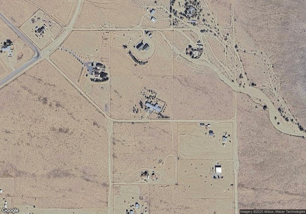
Map
Nearby Homes
- 018 N Garrett Dr
- 019 N Garrett Dr
- 017 N Garrett Dr
- 333-16-004 N Garrett Dr
- 10563 N Garrett Dr
- 7711 E California Dr
- 10521 N Garrett Dr
- 7428 E Fawn Dr
- 00 N Mohave Rd
- 7412 E Fawn Dr
- 7373 E Fawn Dr
- 7478 E Turtle Bank Dr
- 10499 N Painted Rock Dr
- 7131 Morning Side Dr
- 7183 Morning Side Dr
- 7490 Morning Side Dr
- 7321 Stone Axe Dr
- 7313 Stone Axe Dr
- 7401 E Morningside Dr
- 7472 E Sawmill Dr
- 10612 N Mohave Rd
- 7656 E Saint Martin Ln
- 7656 E St Martin Ln
- 7700 E Saint Martin Ln
- 10560 N Mohave Rd
- 10605 N Garrett Dr
- 00000 N Garrett Dr
- 0000 N Garrett Dr
- 333-16-018 N Garrett Dr
- 333-16-019 N Garrett Dr
- 333-16-017 N Garrett Dr
- 3575 E Saint Martin Ln
- 3573 E Saint Martin Ln
- 3615 E Saint Martin Ln
- 7695 E St Martin Ln
- 7703 E Saint Martin Ln
- 00000 Mohave
- 10528 N Mohave Rd
- 000-40.13 acres N Garrett Dr
- 7.38 Ac Mohave Dr
Your Personal Tour Guide
Ask me questions while you tour the home.