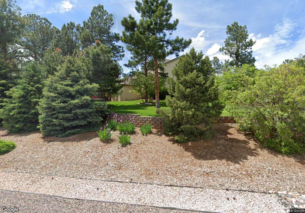
7659 Rollins Dr Larkspur, CO 80118
Estimated Value: $777,523 - $998,000
4
Beds
3
Baths
2,814
Sq Ft
$324/Sq Ft
Est. Value
About This Home
This home is located at 7659 Rollins Dr, Larkspur, CO 80118 and is currently estimated at $912,381, approximately $324 per square foot. 7659 Rollins Dr is a home located in Douglas County with nearby schools including Larkspur Elementary School, Castle Rock Middle School, and Castle View High School.
Ownership History
Date
Name
Owned For
Owner Type
Purchase Details
Closed on
Jun 28, 2002
Sold by
Moscati James C and Moscati Melinda A
Bought by
Shea Thomas P and Shea Paula J
Current Estimated Value
Home Financials for this Owner
Home Financials are based on the most recent Mortgage that was taken out on this home.
Original Mortgage
$342,000
Outstanding Balance
$145,700
Interest Rate
6.78%
Estimated Equity
$766,681
Purchase Details
Closed on
Aug 29, 2000
Sold by
Osprey Custom Homes Llc
Bought by
Moscati James C and Moscati Melinda A
Home Financials for this Owner
Home Financials are based on the most recent Mortgage that was taken out on this home.
Original Mortgage
$270,400
Interest Rate
7.75%
Purchase Details
Closed on
Jul 30, 1999
Sold by
Young Gary L and Young Jacqueline L
Bought by
Osprey Custom Homes Llc
Home Financials for this Owner
Home Financials are based on the most recent Mortgage that was taken out on this home.
Original Mortgage
$37,500
Interest Rate
7.63%
Mortgage Type
Construction
Purchase Details
Closed on
Oct 9, 1997
Sold by
Jamison Robert E Et Al Jamison Sharon
Bought by
Young Gary L Et Al Young Jacqueline
Purchase Details
Closed on
Sep 1, 1997
Sold by
Jamison Robert E and Jamison Sharon D
Bought by
Young Gary L and Young Jacqueline L
Purchase Details
Closed on
Sep 24, 1991
Sold by
Briarwood Inv Group Inc
Bought by
Jamison Robert E and Jamison Sharon D
Purchase Details
Closed on
Feb 12, 1985
Sold by
K C Investments Inc
Bought by
Briarwood Inv Group
Purchase Details
Closed on
Jan 28, 1985
Sold by
Kent Wendel G
Bought by
K C Investments Inc
Create a Home Valuation Report for This Property
The Home Valuation Report is an in-depth analysis detailing your home's value as well as a comparison with similar homes in the area
Home Values in the Area
Average Home Value in this Area
Purchase History
| Date | Buyer | Sale Price | Title Company |
|---|---|---|---|
| Shea Thomas P | $380,000 | Land Title | |
| Moscati James C | $338,081 | Land Title | |
| Osprey Custom Homes Llc | $49,900 | Land Title | |
| Young Gary L Et Al Young Jacqueline | $16,000 | -- | |
| Young Gary L | $16,000 | -- | |
| Jamison Robert E | $14,900 | -- | |
| Briarwood Inv Group | $32,000 | -- | |
| K C Investments Inc | $8,000 | -- |
Source: Public Records
Mortgage History
| Date | Status | Borrower | Loan Amount |
|---|---|---|---|
| Open | Shea Thomas P | $342,000 | |
| Previous Owner | Moscati James C | $270,400 | |
| Previous Owner | Osprey Custom Homes Llc | $37,500 | |
| Closed | Moscati James C | $33,800 |
Source: Public Records
Tax History Compared to Growth
Tax History
| Year | Tax Paid | Tax Assessment Tax Assessment Total Assessment is a certain percentage of the fair market value that is determined by local assessors to be the total taxable value of land and additions on the property. | Land | Improvement |
|---|---|---|---|---|
| 2024 | $3,827 | $49,640 | $12,580 | $37,060 |
| 2023 | $3,865 | $49,640 | $12,580 | $37,060 |
| 2022 | $3,525 | $37,210 | $8,600 | $28,610 |
| 2021 | $3,649 | $37,210 | $8,600 | $28,610 |
| 2020 | $3,494 | $36,370 | $7,430 | $28,940 |
| 2019 | $3,505 | $36,370 | $7,430 | $28,940 |
| 2018 | $3,063 | $31,220 | $6,810 | $24,410 |
| 2017 | $2,879 | $31,220 | $6,810 | $24,410 |
| 2016 | $2,803 | $29,900 | $6,530 | $23,370 |
| 2015 | $2,741 | $29,900 | $6,530 | $23,370 |
| 2014 | $2,530 | $25,880 | $4,700 | $21,180 |
Source: Public Records
Map
Nearby Homes
- 7596 Rollins Dr
- 1600 Independence Dr Unit 50
- 1065 Independence Dr
- 1025 Tenderfoot Dr
- 1038 Tenderfoot Dr
- 929 Tenderfoot Dr
- 950 Tenderfoot Dr
- 0 E Cherry Creek Rd Unit 2541327
- 0 E Cherry Creek Rd Unit REC1786246
- 7317 Fremont Place
- 691 Cumberland Rd
- 1653 Gore Dr
- 1275 Fremont Dr
- 1210 Kenosha Dr
- 7169 Independence Ct
- 670 Independence Dr
- 7737 Taylor Cir
- 1935 Poncha Ct
- 1151 Kenosha Dr
- 7994 Monarch Rd
- 7645 Rollins Dr
- 7615 Rollins Dr
- 7635 Rollins Dr
- 7704 Rollins Dr
- 7700 Rollins Dr
- 7708 Rollins Dr
- 7595 Rollins Dr
- 7479 Shrine Rd
- 7555 Shrine Rd
- 7527 Shrine Rd
- 7461 Shrine Rd
- 1138 Independence Dr
- 1454 Cinnamon Rd
- 7573 Shrine Rd
- 7441 Shrine Rd
- 7868 Cinnamon Cir
- 1422 Cinnamon Rd
- 7882 Cinnamon Cir
- 0000 Independence Dr
- 588 Independence Dr