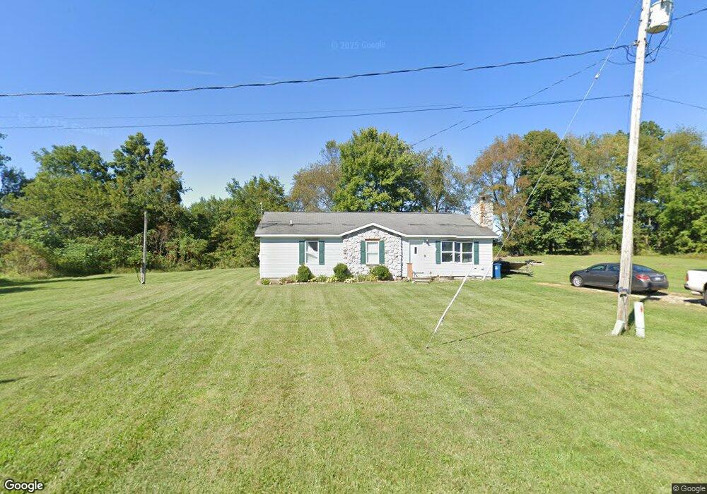
766 Alexis Dr Coldwater, MI 49036
Estimated Value: $236,000 - $376,000
3
Beds
2
Baths
1,250
Sq Ft
$239/Sq Ft
Est. Value
About This Home
This home is located at 766 Alexis Dr, Coldwater, MI 49036 and is currently estimated at $298,890, approximately $239 per square foot. 766 Alexis Dr is a home located in Branch County with nearby schools including Coldwater High School and Branch County Christian School.
Ownership History
Date
Name
Owned For
Owner Type
Purchase Details
Closed on
Jun 11, 2020
Sold by
Childers David
Bought by
Kester Amanda M
Current Estimated Value
Home Financials for this Owner
Home Financials are based on the most recent Mortgage that was taken out on this home.
Original Mortgage
$171,830
Outstanding Balance
$152,314
Interest Rate
3.2%
Mortgage Type
FHA
Estimated Equity
$146,576
Purchase Details
Closed on
Jul 1, 2011
Sold by
Persing Michael and Rivard Kimberly
Bought by
Ely Sandra
Purchase Details
Closed on
Aug 25, 1993
Sold by
Stewart John and Stewart Joann
Bought by
Winhoven F H
Purchase Details
Closed on
Feb 22, 1988
Sold by
Stewart John R
Bought by
Stewart Joann
Create a Home Valuation Report for This Property
The Home Valuation Report is an in-depth analysis detailing your home's value as well as a comparison with similar homes in the area
Home Values in the Area
Average Home Value in this Area
Purchase History
| Date | Buyer | Sale Price | Title Company |
|---|---|---|---|
| Kester Amanda M | $175,000 | None Available | |
| Ely Sandra | -- | None Available | |
| Winhoven F H | $100 | -- | |
| Stewart Joann | -- | -- |
Source: Public Records
Mortgage History
| Date | Status | Borrower | Loan Amount |
|---|---|---|---|
| Open | Kester Amanda M | $171,830 |
Source: Public Records
Tax History Compared to Growth
Tax History
| Year | Tax Paid | Tax Assessment Tax Assessment Total Assessment is a certain percentage of the fair market value that is determined by local assessors to be the total taxable value of land and additions on the property. | Land | Improvement |
|---|---|---|---|---|
| 2025 | -- | $0 | $0 | $0 |
| 2024 | $1,653 | $0 | $0 | $0 |
| 2023 | $395 | $45,715 | $0 | $0 |
| 2022 | $1,653 | $47,290 | $0 | $0 |
| 2021 | -- | $44,380 | $0 | $0 |
| 2020 | -- | $34,966 | $0 | $0 |
| 2019 | -- | $36,614 | $0 | $0 |
| 2018 | -- | $39,611 | $0 | $0 |
| 2017 | -- | $37,266 | $0 | $0 |
| 2016 | -- | $33,150 | $0 | $0 |
| 2015 | -- | $33,393 | $0 | $0 |
| 2014 | -- | $35,171 | $0 | $0 |
| 2013 | -- | $32,988 | $0 | $0 |
Source: Public Records
Map
Nearby Homes
- 204 Dons Dr
- 202 Dons Dr
- 181 Dons Dr
- 757 Lake Shore Point
- 180 Crockett Dr
- 204 Crockett Dr
- 804 Cornell Rd
- 727 Skipper Ln
- 283 S Fremont Rd
- 297 Winhoven Dr
- 242 Bickford Dr
- 117 Ridge Rd
- 905 Fisher Rd
- 808 Rolling Meadows Dr
- 0 Brocklebank Rd
- 211 S Ray Quincy Rd
- 216 Sandalwood Dr
- 382 W Russell Dr
- 288 S Centennial Rd
- 586 Schaeffer Dr