Estimated Value: $192,000 - $365,000
2
Beds
1
Bath
1,186
Sq Ft
$208/Sq Ft
Est. Value
About This Home
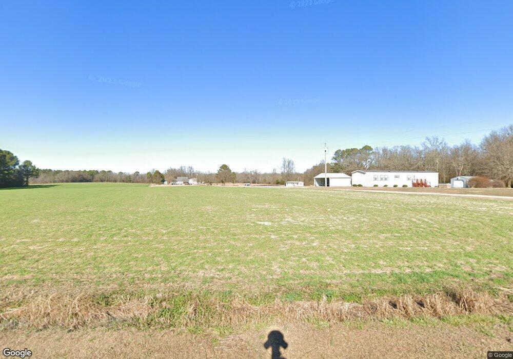
This home is located at 766 Aman Dairy Rd, Dunn, NC 28334 and is currently estimated at $246,894, approximately $208 per square foot. 766 Aman Dairy Rd is a home located in Sampson County with nearby schools including Midway Elementary School, Midway Middle School, and Midway High School.
Ownership History
Date
Name
Owned For
Owner Type
Purchase Details
Closed on
Dec 13, 2013
Sold by
Phillips Christopher Lee and Matthews Mae Vernon
Bought by
Phillips Christopher Lee
Current Estimated Value
Home Financials for this Owner
Home Financials are based on the most recent Mortgage that was taken out on this home.
Original Mortgage
$56,750
Interest Rate
3.52%
Mortgage Type
New Conventional
Purchase Details
Closed on
Sep 1, 2005
Sold by
Phillips Dianna Carroll
Bought by
Phillips Christopher Lee
Create a Home Valuation Report for This Property
The Home Valuation Report is an in-depth analysis detailing your home's value as well as a comparison with similar homes in the area
Home Values in the Area
Average Home Value in this Area
Purchase History
| Date | Buyer | Sale Price | Title Company |
|---|---|---|---|
| Phillips Christopher Lee | -- | First American Title Ins Co | |
| Phillips Christopher Lee | -- | -- |
Source: Public Records
Mortgage History
| Date | Status | Borrower | Loan Amount |
|---|---|---|---|
| Closed | Phillips Christopher Lee | $56,750 |
Source: Public Records
Tax History Compared to Growth
Tax History
| Year | Tax Paid | Tax Assessment Tax Assessment Total Assessment is a certain percentage of the fair market value that is determined by local assessors to be the total taxable value of land and additions on the property. | Land | Improvement |
|---|---|---|---|---|
| 2025 | $1,262 | $162,868 | $35,920 | $126,948 |
| 2024 | $1,148 | $162,868 | $35,920 | $126,948 |
| 2023 | $904 | $98,744 | $29,866 | $68,878 |
| 2022 | $904 | $98,744 | $29,866 | $68,878 |
| 2021 | $904 | $98,744 | $29,866 | $68,878 |
| 2020 | $904 | $98,744 | $29,866 | $68,878 |
| 2019 | $904 | $98,744 | $0 | $0 |
| 2018 | $913 | $99,740 | $0 | $0 |
| 2017 | $913 | $99,740 | $0 | $0 |
| 2016 | $918 | $99,740 | $0 | $0 |
| 2015 | $918 | $99,740 | $0 | $0 |
| 2014 | $918 | $99,740 | $0 | $0 |
Source: Public Records
Map
Nearby Homes
- 0 Glover Rd
- 3000 Wrench Rd
- 72 Sanford Ln
- 8 Sanford Ln
- 16381 Dunn Rd
- 899 Core Rd
- 97 Sawyer Mill Dr
- 1965 Green Path Rd
- 261 Phil Jack Rd
- 73 Phil Jack Rd
- 148 Phil Jack Rd
- 44 Harvest Hills Ln
- 83 Harvest Hills Ln
- 34 Merlin Ct
- 40 Breckenridge Place
- 128 Christy Ln
- 109 Christy Ln
- 125 Heron Ct
- 8576 Green Path Rd
- 00 Green Path Rd
- 754 Aman Dairy Rd
- 720 Aman Dairy Rd
- 686 Aman Dairy Rd
- 651 Aman Dairy Rd
- 892 Aman Dairy Rd
- 940 Aman Dairy Rd
- 940 Aman Dairy Rd
- 575 Aman Dairy Rd
- 976 Aman Dairy Rd
- 531 Aman Dairy Rd
- 1089 Aman Dairy Rd
- 428 Aman Dairy Rd
- 1168 Aman Dairy Rd
- 2716 Casper Rd
- 2694 Casper Rd
- 2594 Casper Rd
- 1534 Mingo Church Rd
- 2597 Casper Rd
- 1960 Mingo Church Rd
- 1900 Mingo Church Rd