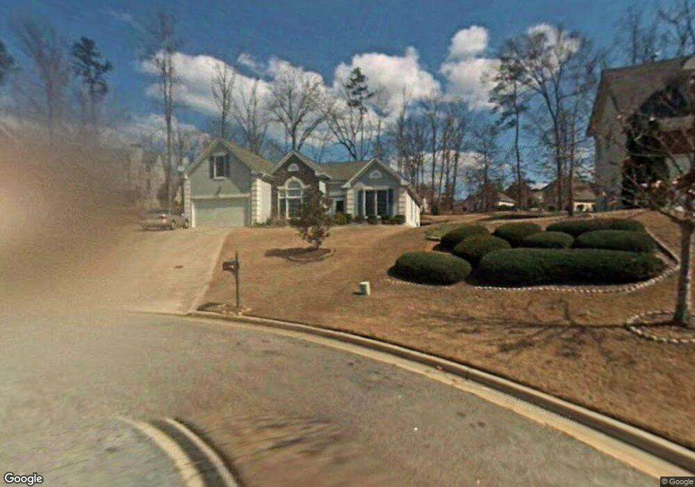
766 Brooks Cir Unit VI Stone Mountain, GA 30087
Estimated Value: $326,159 - $386,000
3
Beds
2
Baths
2,055
Sq Ft
$168/Sq Ft
Est. Value
About This Home
This home is located at 766 Brooks Cir Unit VI, Stone Mountain, GA 30087 and is currently estimated at $345,290, approximately $168 per square foot. 766 Brooks Cir Unit VI is a home located in DeKalb County with nearby schools including Pine Ridge Elementary School, Stephenson Middle School, and Stephenson High School.
Ownership History
Date
Name
Owned For
Owner Type
Purchase Details
Closed on
Sep 14, 2018
Sold by
Douglas Karen Baker
Bought by
Douglas Karen Baker and Douglas Dougls Marvin
Current Estimated Value
Home Financials for this Owner
Home Financials are based on the most recent Mortgage that was taken out on this home.
Original Mortgage
$140,000
Outstanding Balance
$113,406
Interest Rate
4.5%
Mortgage Type
New Conventional
Estimated Equity
$231,884
Purchase Details
Closed on
Jan 27, 2016
Sold by
Baker Marjorie Mcghee Estate
Bought by
Douglas Karen Baker
Purchase Details
Closed on
Jan 24, 2001
Sold by
D R Horton Inc
Bought by
Baker Marjorie M
Home Financials for this Owner
Home Financials are based on the most recent Mortgage that was taken out on this home.
Original Mortgage
$33,380
Interest Rate
7.44%
Mortgage Type
New Conventional
Create a Home Valuation Report for This Property
The Home Valuation Report is an in-depth analysis detailing your home's value as well as a comparison with similar homes in the area
Home Values in the Area
Average Home Value in this Area
Purchase History
| Date | Buyer | Sale Price | Title Company |
|---|---|---|---|
| Douglas Karen Baker | -- | -- | |
| Douglas Karen Baker | -- | -- | |
| Baker Marjorie M | $166,900 | -- |
Source: Public Records
Mortgage History
| Date | Status | Borrower | Loan Amount |
|---|---|---|---|
| Open | Douglas Karen Baker | $140,000 | |
| Previous Owner | Baker Marjorie M | $33,380 |
Source: Public Records
Tax History Compared to Growth
Tax History
| Year | Tax Paid | Tax Assessment Tax Assessment Total Assessment is a certain percentage of the fair market value that is determined by local assessors to be the total taxable value of land and additions on the property. | Land | Improvement |
|---|---|---|---|---|
| 2025 | $792 | $122,640 | $24,120 | $98,520 |
| 2024 | $839 | $119,240 | $24,120 | $95,120 |
| 2023 | $839 | $119,760 | $24,120 | $95,640 |
| 2022 | $749 | $104,000 | $12,680 | $91,320 |
| 2021 | $749 | $84,120 | $12,680 | $71,440 |
| 2020 | $749 | $71,760 | $12,680 | $59,080 |
| 2019 | $734 | $67,120 | $12,680 | $54,440 |
| 2018 | $739 | $60,560 | $12,680 | $47,880 |
| 2017 | $1,911 | $58,720 | $12,680 | $46,040 |
| 2016 | $741 | $50,080 | $12,680 | $37,400 |
| 2014 | $615 | $41,680 | $12,680 | $29,000 |
Source: Public Records
Map
Nearby Homes
- 698 Deer Lake Trail
- 837 Malvern Blvd
- 724 Eastwood Rise
- 6885 Almont Cove
- 6908 Registry Chase
- 2406 Creole Creek Cir SW
- 480 Pineburr Ln
- 467 Pineburr Ln
- 2901 Carrousel Ct
- 416 Pineburr Ln
- 5272 Cumberland Way
- 381 Registry Bluff
- 5315 Pounds Dr S Unit 5
- 7039 Rockbridge Rd
- 415 N Deshong Rd
- 401 N Deshong Rd
- 3047 Sanibel Dr Unit 1
- 5334 Pounds Dr N
- 460 Heathrow Way
- 2421 Rockbridge Rd SW
- 760 Brooks Cir Unit 6
- 783 Deerfield Ct
- 770 Brooks Cir Unit VI
- 779 Deerfield Ct Unit 7
- 6756 Blantyre Blvd
- 787 Deerfield Ct
- 6742 Blantyre Blvd
- 769 Brooks Cir
- 6780 Blantyre Blvd
- 759 Brooks Cir
- 793 Deerfield Ct Unit VII
- 6788 Blantyre Blvd Unit 6
- 755 Brooks Cir
- 786 Deerfield Ct Unit 7
- 799 Deerfield Ct
- 6800 Blantyre Blvd
- 6745 Blantyre Blvd
- 6751 Blantyre Blvd Unit 6
- 6739 Blantyre Blvd Unit 6
- 6755 Blantyre Blvd