766 Burns Hollow Rd Unit A Lucasville, OH 45648
Estimated Value: $95,000 - $295,000
4
Beds
1
Bath
1,740
Sq Ft
$124/Sq Ft
Est. Value
About This Home
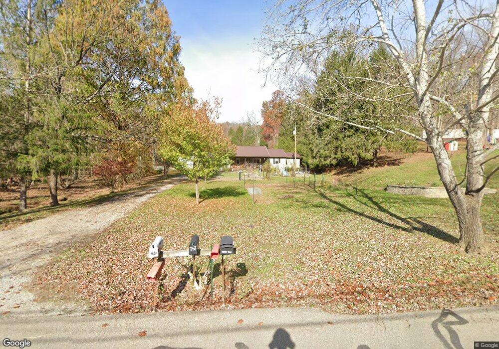
This home is located at 766 Burns Hollow Rd Unit A, Lucasville, OH 45648 and is currently estimated at $216,266, approximately $124 per square foot. 766 Burns Hollow Rd Unit A is a home located in Scioto County with nearby schools including Valley Elementary School, Valley Middle School, and Valley High School.
Ownership History
Date
Name
Owned For
Owner Type
Purchase Details
Closed on
May 8, 2006
Sold by
Cook John M and Cook Rebecca G
Bought by
Porter David and Porter Dana
Current Estimated Value
Purchase Details
Closed on
Jul 11, 2005
Bought by
Cook John + Rebecca J and Cook S
Purchase Details
Closed on
Mar 4, 2005
Sold by
Brisker John
Bought by
Housing And Urban Develop
Purchase Details
Closed on
Jul 3, 2001
Sold by
Riggs Elias + Tina J and Riggs S
Bought by
Brisker John
Create a Home Valuation Report for This Property
The Home Valuation Report is an in-depth analysis detailing your home's value as well as a comparison with similar homes in the area
Home Values in the Area
Average Home Value in this Area
Purchase History
| Date | Buyer | Sale Price | Title Company |
|---|---|---|---|
| Porter David | -- | -- | |
| Cook John + Rebecca J | -- | -- | |
| Housing And Urban Develop | -- | -- | |
| Brisker John | $102,000 | -- |
Source: Public Records
Tax History Compared to Growth
Tax History
| Year | Tax Paid | Tax Assessment Tax Assessment Total Assessment is a certain percentage of the fair market value that is determined by local assessors to be the total taxable value of land and additions on the property. | Land | Improvement |
|---|---|---|---|---|
| 2024 | $2,567 | $57,150 | $5,590 | $51,560 |
| 2023 | $2,567 | $57,150 | $5,590 | $51,560 |
| 2022 | $2,561 | $57,150 | $5,590 | $51,560 |
| 2021 | $2,359 | $51,820 | $4,910 | $46,910 |
| 2020 | $2,321 | $51,820 | $4,910 | $46,910 |
| 2019 | $2,273 | $47,110 | $4,470 | $42,640 |
| 2018 | $2,137 | $47,110 | $4,470 | $42,640 |
| 2017 | $2,131 | $47,110 | $4,470 | $42,640 |
| 2016 | $2,123 | $46,110 | $4,240 | $41,870 |
| 2015 | $2,090 | $46,110 | $4,240 | $41,870 |
| 2013 | $1,858 | $46,110 | $4,240 | $41,870 |
Source: Public Records
Map
Nearby Homes
- 7042 Ohio 139
- 7080 Ohio 139
- 7948 State Route 139
- 8499 Ohio 139
- 296 Clay Dr
- 640 Rases Mountain Dr
- 311 Diane St
- Lot 9 Hearthstone Dr
- 0 Hearthstone Dr
- 224 Breckenridge Dr
- 0-5A Rice Rd
- 0-5B Rice Rd
- 0-5 Rice Rd
- 0-2C Rice Rd
- 0-2B Rice Rd
- 0-2A Rice Rd
- 448 Houston Hollow Rd
- 13 Cornerstone Dr
- 0 Millers Run Back Run Rd Unit 11567700
- 111 Linda Ave
- 766 Burns Hollow Rd
- 766 Burns Rd
- 886 Burns Hollow Rd
- 694 Burns Hollow Rd
- 946 Burns Hollow Rd
- 660 Burns Hollow Rd
- 606 Burns Hollow Rd
- 712 Burns Hollow Rd
- 1028 Burns Hollow Rd
- 1028 Burns Rd
- 921 Burns Hollow Rd
- 845 Burns Hollow Rd
- 767 Burns Hollow Rd
- 0 Burns Rd
- 596 Burns Hollow Rd
- 542 Burns Hollow Rd
- 645 Burns Hollow Rd
- 70 Burns Road Right Fork
- 376 Burns Left Fork Rd
- 126 Burns Left Fork Rd