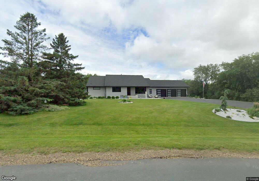
766 Crosby Dr Hudson, WI 54016
Estimated Value: $889,000 - $982,000
4
Beds
3
Baths
--
Sq Ft
3.22
Acres
About This Home
This home is located at 766 Crosby Dr, Hudson, WI 54016 and is currently estimated at $934,843. 766 Crosby Dr is a home located in St. Croix County with nearby schools including E.P. Rock Elementary School, Hudson Middle School, and Hudson High School.
Ownership History
Date
Name
Owned For
Owner Type
Purchase Details
Closed on
Jun 6, 2016
Sold by
Rynders Perry M and Rynders Leah K
Bought by
Blankenbaker John A and Blankenbaker Debra A
Current Estimated Value
Home Financials for this Owner
Home Financials are based on the most recent Mortgage that was taken out on this home.
Original Mortgage
$512,000
Outstanding Balance
$408,686
Interest Rate
3.66%
Mortgage Type
VA
Estimated Equity
$526,157
Create a Home Valuation Report for This Property
The Home Valuation Report is an in-depth analysis detailing your home's value as well as a comparison with similar homes in the area
Home Values in the Area
Average Home Value in this Area
Purchase History
| Date | Buyer | Sale Price | Title Company |
|---|---|---|---|
| Blankenbaker John A | $562,000 | Land Title Inc |
Source: Public Records
Mortgage History
| Date | Status | Borrower | Loan Amount |
|---|---|---|---|
| Open | Blankenbaker John A | $512,000 |
Source: Public Records
Tax History Compared to Growth
Tax History
| Year | Tax Paid | Tax Assessment Tax Assessment Total Assessment is a certain percentage of the fair market value that is determined by local assessors to be the total taxable value of land and additions on the property. | Land | Improvement |
|---|---|---|---|---|
| 2024 | $83 | $802,800 | $131,000 | $671,800 |
| 2023 | $8,029 | $802,800 | $131,000 | $671,800 |
| 2022 | $7,135 | $512,400 | $99,200 | $413,200 |
| 2021 | $6,784 | $512,400 | $99,200 | $413,200 |
| 2020 | $6,753 | $497,600 | $99,200 | $398,400 |
| 2019 | $6,374 | $497,600 | $99,200 | $398,400 |
| 2018 | $6,693 | $497,600 | $99,200 | $398,400 |
| 2017 | $6,064 | $375,000 | $54,300 | $320,700 |
| 2016 | $6,064 | $375,000 | $54,300 | $320,700 |
| 2015 | $5,471 | $375,000 | $54,300 | $320,700 |
| 2014 | $5,158 | $375,000 | $54,300 | $320,700 |
| 2013 | $5,293 | $375,000 | $54,300 | $320,700 |
Source: Public Records
Map
Nearby Homes
- xxx Crosby Dr
- 753 Aldro Rd
- 786 Harlar Cir
- 425 Jack Pine Dr
- 106 Bridgewater Trail
- 158 Bridgewater Trail
- 464 Stageline Rd
- 42 Stone Harbor Place
- 81 Bridgewater Trail
- 671 Darnold Dr
- 665 Darnold Dr
- 496 Kerry Way
- 217 W Canyon Dr
- 667 Red Maple Ln
- 54 Tribute Ave
- 118 Quail Cir
- 251 W Canyon Dr
- 261 W Canyon Dr
- 2700 Galway Ct
- 53 E Canyon Dr
- 769 Crosby Dr
- 762 Crosby Dr
- 770 Crosby Dr
- 758 Crosby Dr
- 754 Crosby Dr
- 49.44 Crosby Dr
- 773 Crosby Dr
- 774 Crosby Dr
- 750 Crosby Dr
- 516 Joseph Cir
- 520 Joseph Cir
- 521 Joseph Cir
- XXX Old Hwy 35
- xxxx 50th St
- Lot 11 Cove Ridge Development
- Lot 10 Cove Ridge Development
- Lot 9 Cove Ridge Development
- Lot 6 Cove Ridge Development
- Lot 5 Cove Ridge Development
- Lot 4 Cove Ridge Development