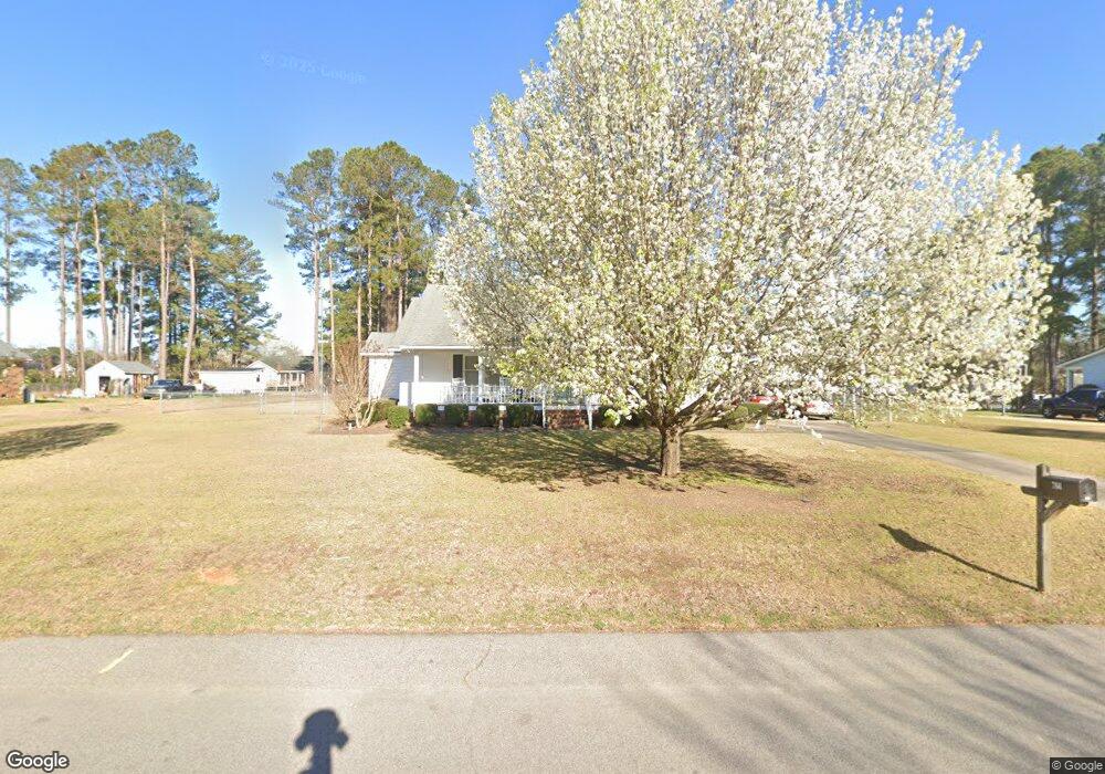
766 Dove Point Dr Orangeburg, SC 29118
Estimated Value: $206,259 - $231,000
3
Beds
2
Baths
1,488
Sq Ft
$147/Sq Ft
Est. Value
About This Home
This home is located at 766 Dove Point Dr, Orangeburg, SC 29118 and is currently estimated at $218,565, approximately $146 per square foot. 766 Dove Point Dr is a home located in Orangeburg County with nearby schools including Marshall Elementary School, Marshall Elementary, and William J. Clark Middle School.
Ownership History
Date
Name
Owned For
Owner Type
Purchase Details
Closed on
Jan 26, 2018
Sold by
Keitt Glynda J
Bought by
Stillinger Linda B and Gilchrist Teresa S
Current Estimated Value
Home Financials for this Owner
Home Financials are based on the most recent Mortgage that was taken out on this home.
Original Mortgage
$104,000
Outstanding Balance
$87,968
Interest Rate
3.94%
Mortgage Type
New Conventional
Estimated Equity
$130,597
Create a Home Valuation Report for This Property
The Home Valuation Report is an in-depth analysis detailing your home's value as well as a comparison with similar homes in the area
Home Values in the Area
Average Home Value in this Area
Purchase History
| Date | Buyer | Sale Price | Title Company |
|---|---|---|---|
| Stillinger Linda B | $130,000 | None Available |
Source: Public Records
Mortgage History
| Date | Status | Borrower | Loan Amount |
|---|---|---|---|
| Open | Stillinger Linda B | $104,000 |
Source: Public Records
Tax History Compared to Growth
Tax History
| Year | Tax Paid | Tax Assessment Tax Assessment Total Assessment is a certain percentage of the fair market value that is determined by local assessors to be the total taxable value of land and additions on the property. | Land | Improvement |
|---|---|---|---|---|
| 2024 | $960 | $6,352 | $732 | $5,620 |
| 2023 | $751 | $4,912 | $692 | $4,220 |
| 2022 | $730 | $4,912 | $692 | $4,220 |
| 2021 | $722 | $4,912 | $692 | $4,220 |
| 2020 | $705 | $4,912 | $692 | $4,220 |
| 2019 | $819 | $4,912 | $692 | $4,220 |
| 2018 | $724 | $7,326 | $0 | $0 |
| 2017 | $395 | $7,326 | $0 | $0 |
| 2016 | $396 | $4,884 | $0 | $0 |
| 2015 | $375 | $4,884 | $0 | $0 |
| 2014 | $375 | $4,884 | $692 | $4,192 |
| 2013 | -- | $4,628 | $692 | $3,936 |
Source: Public Records
Map
Nearby Homes
- 779 Windmill Way
- 105 Kirkwood Ct
- 110 Kirkwood Ct
- 145 Tahoe Dr
- 155 Tahoe Dr
- 141 Tahoe Dr
- 137 Kirkwood Ct
- 106 Kirkwood Dr
- 102 Kirkwood Ct
- 167 Tahoe Dr
- 137 Tahoe Dr
- 106 Kirkwood Ct
- 163 Tahoe Dr
- 101 Kirkwood Dr
- HARRISON Plan at Mulberry Landing
- DEVON Plan at Mulberry Landing
- CAMERON Plan at Mulberry Landing
- ALLEX Plan at Mulberry Landing
- 113 Kirkwood Ct
- 170 Willow Bay Dr
- 754 Dove Point Dr
- 778 Dove Point Dr
- 778 Dove Point Dr
- 778 Dove Point Dr
- 767 Windmill Way
- 755 Windmill Way
- 753 Dove Point Dr
- 767 Dove Point Dr
- 734 Dove Point Dr
- 780 Dove Point Dr
- 741 Dove Point Dr
- 783 Windmill Way
- 779 Dove Point Dr
- 729 Windmill Way
- 724 Dove Point Dr
- 731 Dove Point Dr
- 788 Dove Point Dr
- 742 Windmill Way
- 742 Windmill Way
- 756 Windmill Way