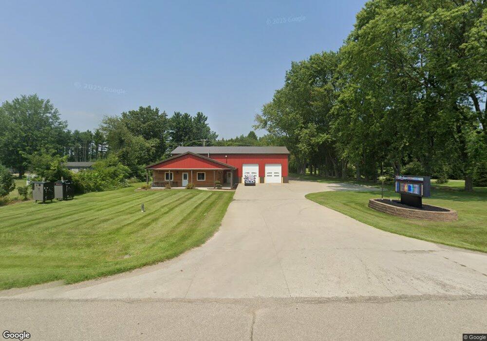
766 E Chicago Rd Quincy, MI 49082
Estimated Value: $304,000 - $539,000
Studio
1
Bath
5,007
Sq Ft
$88/Sq Ft
Est. Value
About This Home
This home is located at 766 E Chicago Rd, Quincy, MI 49082 and is currently estimated at $439,083, approximately $87 per square foot. 766 E Chicago Rd is a home located in Branch County with nearby schools including Jennings Elementary School, Quincy Middle School, and Quincy High School.
Ownership History
Date
Name
Owned For
Owner Type
Purchase Details
Closed on
Aug 27, 2013
Sold by
Arnold Larae V and Arnold Vicki Larae
Bought by
Miller John C and Miller Dawn M
Current Estimated Value
Purchase Details
Closed on
Sep 29, 2010
Sold by
Arnold Larae V and Arnold Vicki Larae
Bought by
Arnold Larae
Home Financials for this Owner
Home Financials are based on the most recent Mortgage that was taken out on this home.
Original Mortgage
$200,000
Interest Rate
4.42%
Mortgage Type
New Conventional
Purchase Details
Closed on
Oct 1, 2007
Sold by
Arnold Vicki Larae
Bought by
Arnold Vicki Larae
Purchase Details
Closed on
May 18, 1998
Sold by
Arnold Norma Jean
Bought by
Arnold Kyle M
Create a Home Valuation Report for This Property
The Home Valuation Report is an in-depth analysis detailing your home's value as well as a comparison with similar homes in the area
Purchase History
| Date | Buyer | Sale Price | Title Company |
|---|---|---|---|
| Miller John C | $385,000 | Tsid | |
| Arnold Larae | -- | Branch County Abstract & Tit | |
| Arnold Vicki Larae | -- | None Available | |
| Arnold Kyle M | -- | -- |
Source: Public Records
Mortgage History
| Date | Status | Borrower | Loan Amount |
|---|---|---|---|
| Previous Owner | Arnold Larae | $200,000 |
Source: Public Records
Tax History
| Year | Tax Paid | Tax Assessment Tax Assessment Total Assessment is a certain percentage of the fair market value that is determined by local assessors to be the total taxable value of land and additions on the property. | Land | Improvement |
|---|---|---|---|---|
| 2025 | $5,081 | $237,136 | $0 | $0 |
| 2024 | $17 | $236,045 | $0 | $0 |
| 2023 | $1,682 | $214,822 | $0 | $0 |
| 2022 | $1,682 | $189,549 | $0 | $0 |
| 2021 | $578 | $179,333 | $0 | $0 |
| 2020 | -- | $176,795 | $0 | $0 |
| 2019 | -- | $175,339 | $0 | $0 |
| 2018 | -- | $156,023 | $0 | $0 |
| 2017 | -- | $139,413 | $0 | $0 |
| 2016 | -- | $145,189 | $0 | $0 |
| 2015 | -- | $143,609 | $0 | $0 |
| 2014 | -- | $164,769 | $0 | $0 |
| 2013 | -- | $162,959 | $0 | $0 |
Source: Public Records
Map
Nearby Homes
- 345 N Fremont Rd
- 732 Cambridge Dr
- 493 Richard St
- 0 Lott Rd
- VL N Fiske Rd
- 410 N Fiske Rd
- 586 Schaeffer Dr
- 46 W Chicago St
- 571 Scott Dr
- 0 N Willowbrook Rd Unit 24042121
- 29 Broughton St
- 8 Hunting Trail Ave
- 14 Cole St
- 808 Rolling Meadows Dr
- 64 E Jefferson St
- 201 Wildwood Beach Rd
- 175 N Michigan Ave Unit 99
- 175 N Michigan Ave Unit 193
- 175 N Michigan Ave Unit 179
- 175 N Michigan Ave Unit 60
- 766 E Chicago Rd
- 752 E Chicago Rd
- 761 E Chicago Rd
- 0 N Fremont Unit 10050774
- 0 Fremont Unit 10050765
- 0 Fremont Unit 10050781
- 0 N Fremont Unit 10050786
- 0 N Fremont Unit 9815858
- 0 Fremont Unit 2313678
- 0 N Fremont Unit 2905668
- 0 Fremont Unit 2905667
- 0 N Fremont Unit 2905666
- 0 Fremont Unit 2905665
- 765 E Chicago Rd
- 1 N Fremont Rd
- 0 N Fremont Rd
- 773 E Chicago Rd
- 742 E Chicago Rd
- 740 E Chicago St
- E Chicago Rd
Your Personal Tour Guide
Ask me questions while you tour the home.