766 Moonstone Rd Breckenridge, CO 80424
Estimated Value: $1,775,000 - $2,414,000
3
Beds
3
Baths
1,926
Sq Ft
$1,126/Sq Ft
Est. Value
About This Home
This home is located at 766 Moonstone Rd, Breckenridge, CO 80424 and is currently estimated at $2,168,118, approximately $1,125 per square foot. 766 Moonstone Rd is a home with nearby schools including Breckenridge Elementary School, Summit Middle School, and Summit High School.
Ownership History
Date
Name
Owned For
Owner Type
Purchase Details
Closed on
Jun 30, 2008
Sold by
Macias Charles E and Macias Allys A
Bought by
The Tigers Eye Llc
Current Estimated Value
Purchase Details
Closed on
Jan 30, 2007
Sold by
The Sonia Mendoza Trust
Bought by
Macias Alys A and Macias Charles E
Home Financials for this Owner
Home Financials are based on the most recent Mortgage that was taken out on this home.
Original Mortgage
$650,000
Interest Rate
7.62%
Mortgage Type
Adjustable Rate Mortgage/ARM
Create a Home Valuation Report for This Property
The Home Valuation Report is an in-depth analysis detailing your home's value as well as a comparison with similar homes in the area
Home Values in the Area
Average Home Value in this Area
Purchase History
| Date | Buyer | Sale Price | Title Company |
|---|---|---|---|
| The Tigers Eye Llc | $965,000 | None Available | |
| Macias Alys A | $837,000 | Land Title Guarantee Company |
Source: Public Records
Mortgage History
| Date | Status | Borrower | Loan Amount |
|---|---|---|---|
| Previous Owner | Macias Alys A | $650,000 |
Source: Public Records
Tax History Compared to Growth
Tax History
| Year | Tax Paid | Tax Assessment Tax Assessment Total Assessment is a certain percentage of the fair market value that is determined by local assessors to be the total taxable value of land and additions on the property. | Land | Improvement |
|---|---|---|---|---|
| 2024 | $7,015 | $146,288 | -- | -- |
| 2023 | $7,015 | $142,603 | $0 | $0 |
| 2022 | $4,754 | $90,447 | $0 | $0 |
| 2021 | $4,842 | $93,050 | $0 | $0 |
| 2020 | $3,857 | $73,521 | $0 | $0 |
| 2019 | $3,803 | $73,521 | $0 | $0 |
| 2018 | $3,708 | $69,455 | $0 | $0 |
| 2017 | $3,391 | $69,455 | $0 | $0 |
| 2016 | $2,983 | $60,163 | $0 | $0 |
| 2015 | $2,887 | $60,163 | $0 | $0 |
| 2014 | $3,153 | $64,841 | $0 | $0 |
| 2013 | -- | $64,841 | $0 | $0 |
Source: Public Records
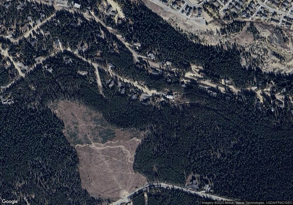
Map
Nearby Homes
- 57 Apex Cir
- 861 High Point Dr
- 86 Grey Jay Ln
- 285 Green Jay Ln
- 158 Stallion Loop Unit 37
- 38 Huckleberry Green
- 387 Moonstone Rd
- 175 Stallion Loop Unit 42
- 137 Stallion Loop Unit 34
- 147 Stallion Loop Unit 36
- 145 Stallion Loop Unit 35
- 366 Moonstone Rd
- 105 Stallion Loop Unit 25
- 135 Stallion Loop Unit 33
- 173 Stallion Loop Unit 41
- 123 Stallion Loop Unit 29
- 113 Stallion Loop Unit 26
- 172 Stallion Loop Unit 40
- 180 Stallion Loop Unit 43
- 160 Stallion Loop Unit 38
- 786 Moonstone Rd
- 746 Moonstone Rd
- 747 Moonstone Rd
- 787 Moonstone Rd
- 726 Moonstone Rd
- 642 High Point Dr
- 682 High Point Dr
- 612 High Point Dr
- 717 Moonstone Rd
- 696 Moonstone Rd
- 712 High Point Dr
- 641 High Point Dr
- 621 High Point Dr
- 681 High Point Dr
- 677 Moonstone Rd
- 581 High Point Dr
- 542 High Point Dr
- 752 High Point Dr
- 647 Moonstone Rd
- 636 Moonstone Rd