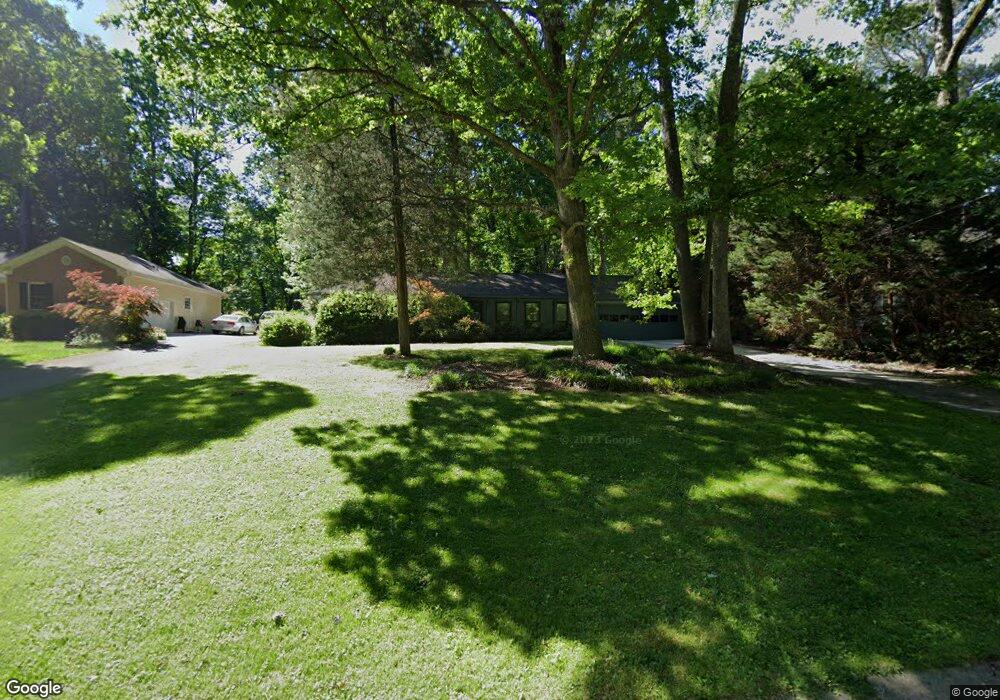
766 Mountainbrooke Cir Unit 4 Stone Mountain, GA 30087
Estimated Value: $335,592 - $357,000
3
Beds
2
Baths
1,531
Sq Ft
$224/Sq Ft
Est. Value
About This Home
This home is located at 766 Mountainbrooke Cir Unit 4, Stone Mountain, GA 30087 and is currently estimated at $343,398, approximately $224 per square foot. 766 Mountainbrooke Cir Unit 4 is a home located in Gwinnett County with nearby schools including Camp Creek Elementary School, Trickum Middle School, and Parkview High School.
Ownership History
Date
Name
Owned For
Owner Type
Purchase Details
Closed on
Sep 29, 1997
Sold by
Fowler Steve and Fowler Jan
Bought by
Young David C and Young Kimberly J
Current Estimated Value
Home Financials for this Owner
Home Financials are based on the most recent Mortgage that was taken out on this home.
Original Mortgage
$98,800
Outstanding Balance
$15,887
Interest Rate
7.46%
Mortgage Type
New Conventional
Estimated Equity
$327,511
Create a Home Valuation Report for This Property
The Home Valuation Report is an in-depth analysis detailing your home's value as well as a comparison with similar homes in the area
Home Values in the Area
Average Home Value in this Area
Purchase History
| Date | Buyer | Sale Price | Title Company |
|---|---|---|---|
| Young David C | $104,000 | -- |
Source: Public Records
Mortgage History
| Date | Status | Borrower | Loan Amount |
|---|---|---|---|
| Open | Young David C | $98,800 |
Source: Public Records
Tax History Compared to Growth
Tax History
| Year | Tax Paid | Tax Assessment Tax Assessment Total Assessment is a certain percentage of the fair market value that is determined by local assessors to be the total taxable value of land and additions on the property. | Land | Improvement |
|---|---|---|---|---|
| 2024 | $3,118 | $114,080 | $22,200 | $91,880 |
| 2023 | $3,118 | $85,640 | $22,400 | $63,240 |
| 2022 | $2,492 | $85,640 | $22,400 | $63,240 |
| 2021 | $2,262 | $73,200 | $19,600 | $53,600 |
| 2020 | $2,172 | $68,320 | $15,200 | $53,120 |
| 2019 | $1,986 | $61,840 | $15,200 | $46,640 |
| 2018 | $1,984 | $61,840 | $15,200 | $46,640 |
| 2016 | $1,643 | $45,120 | $10,800 | $34,320 |
| 2015 | $1,654 | $45,120 | $10,800 | $34,320 |
| 2014 | -- | $43,040 | $8,000 | $35,040 |
Source: Public Records
Map
Nearby Homes
- 5607 Mountainbrooke Ct
- 771 Mountainbrooke Cir SW
- 851 Rockbridge Rd SW
- 737 Lioness Ct
- 717 Oxford Ct SW
- 5774 Vantage Ct
- 881 Rockbridge Rd SW
- 1019 Crestwood Ln
- 5632 Stillwater Ct
- 5798 Musket Ln
- 5329 Rocky Hill Dr SW
- 507 Castlearie Dr
- 507 Castleaire Dr Unit 1
- 5936 Millstone Ln
- 5578 Four Winds Dr SW Unit 3
- 5531 Four Winds Dr SW
- 2119 Gunstock Dr
- 730 Wisteria Vine Ln
- 0 Mountain Brooke Cir Unit 3255914
- 0 Mountain Brooke Cir
- 772 Mountainbrooke Cir
- 772 Mountainbrooke Cir SW
- 762 Mountainbrooke Cir
- 835 Rocky Ridge Ct
- 780 Mountainbrooke Cir Unit 3
- 834 Mountainbrooke Cir
- 752 Mountainbrooke Cir
- 845 Rocky Ridge Ct
- 792 Mountainbrooke Cir
- 751 Mountainbrooke
- 781 Mountainbrooke Cir
- 802 Mountainbrooke Cir
- 844 Rocky Ridge Ct
- 783 Mountainbrooke Cir Unit 3
- 732 Mountainbrooke Cir
- 5637 Mountainbrooke Ct
- 5647 Mountainbrooke Ct
- 855 Rocky Ridge Ct