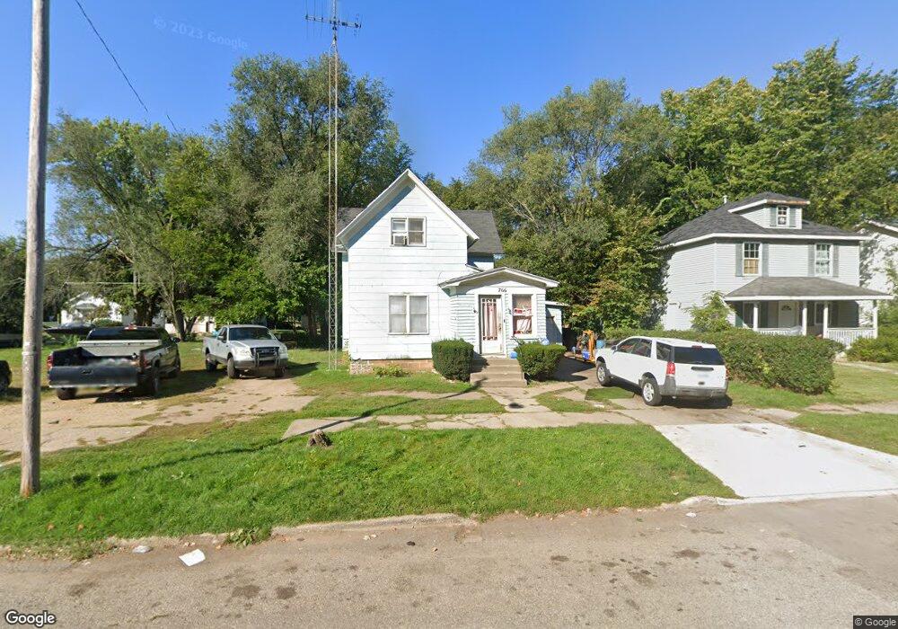
766 Pavone St Benton Harbor, MI 49022
Estimated Value: $82,000 - $128,000
4
Beds
1
Bath
1,734
Sq Ft
$56/Sq Ft
Est. Value
About This Home
This home is located at 766 Pavone St, Benton Harbor, MI 49022 and is currently estimated at $97,155, approximately $56 per square foot. 766 Pavone St is a home located in Berrien County with nearby schools including Fair Plain Middle School, Benton Harbor High School, and Benton Harbor Charter School Academy.
Ownership History
Date
Name
Owned For
Owner Type
Purchase Details
Closed on
Dec 9, 2004
Sold by
Fester Daniel L and Fester Beverly J
Bought by
Adams Albert L
Current Estimated Value
Home Financials for this Owner
Home Financials are based on the most recent Mortgage that was taken out on this home.
Original Mortgage
$60,750
Outstanding Balance
$35,355
Interest Rate
8.25%
Mortgage Type
Purchase Money Mortgage
Estimated Equity
$61,800
Purchase Details
Closed on
May 21, 2004
Sold by
Fester Daniel L and Fester Beverly J
Bought by
Adams Albert
Purchase Details
Closed on
May 20, 2004
Sold by
Leuty Robert W and Leuty Joyce C
Bought by
Fester Daniel
Purchase Details
Closed on
Aug 3, 2000
Purchase Details
Closed on
Oct 15, 1979
Create a Home Valuation Report for This Property
The Home Valuation Report is an in-depth analysis detailing your home's value as well as a comparison with similar homes in the area
Home Values in the Area
Average Home Value in this Area
Purchase History
| Date | Buyer | Sale Price | Title Company |
|---|---|---|---|
| Adams Albert L | $34,000 | Chicago Title | |
| Adams Albert | -- | -- | |
| Fester Daniel | $12,000 | -- | |
| -- | $12,000 | -- | |
| -- | -- | -- |
Source: Public Records
Mortgage History
| Date | Status | Borrower | Loan Amount |
|---|---|---|---|
| Open | Adams Albert L | $60,750 |
Source: Public Records
Tax History Compared to Growth
Tax History
| Year | Tax Paid | Tax Assessment Tax Assessment Total Assessment is a certain percentage of the fair market value that is determined by local assessors to be the total taxable value of land and additions on the property. | Land | Improvement |
|---|---|---|---|---|
| 2025 | $983 | $36,300 | $0 | $0 |
| 2024 | $946 | $31,500 | $0 | $0 |
| 2023 | $757 | $22,200 | $0 | $0 |
| 2022 | $858 | $16,200 | $0 | $0 |
| 2021 | $987 | $15,700 | $600 | $15,100 |
| 2020 | $853 | $15,700 | $0 | $0 |
| 2019 | $838 | $13,800 | $0 | $0 |
| 2018 | $818 | $15,200 | $0 | $0 |
| 2017 | $802 | $13,000 | $0 | $0 |
| 2016 | $788 | $13,100 | $0 | $0 |
| 2015 | $787 | $12,600 | $0 | $0 |
| 2014 | $854 | $15,300 | $0 | $0 |
Source: Public Records
Map
Nearby Homes
- 1045 Broadway
- 131 Clay St
- 161 Kline Ave
- 872 Mcalister Ave
- 833 Pearl St
- 171 E Empire Ave
- 614 Pavone St
- 694 Colfax Ave
- 349 E Empire Ave
- 730 Superior St
- 941 Colfax Ave
- 979 Lavette Ave
- 972 Pearl St
- 576 Colfax Ave
- 416 E Britain Ave
- 460 Colfax Ave
- 1097 Pearl St
- 361 E May St
- 202 Searles Ave
- 378 Pipestone St