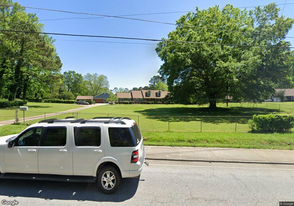
766 Rowland Rd Stone Mountain, GA 30083
Estimated Value: $378,000 - $440,000
3
Beds
3
Baths
3,260
Sq Ft
$128/Sq Ft
Est. Value
About This Home
This home is located at 766 Rowland Rd, Stone Mountain, GA 30083 and is currently estimated at $418,332, approximately $128 per square foot. 766 Rowland Rd is a home located in DeKalb County with nearby schools including Allgood Elementary School, Freedom Middle School, and Clarkston High School.
Ownership History
Date
Name
Owned For
Owner Type
Purchase Details
Closed on
Nov 24, 1998
Sold by
Jones Anne
Bought by
Forde Jeffrey
Current Estimated Value
Home Financials for this Owner
Home Financials are based on the most recent Mortgage that was taken out on this home.
Original Mortgage
$40,501
Interest Rate
6.84%
Mortgage Type
New Conventional
Create a Home Valuation Report for This Property
The Home Valuation Report is an in-depth analysis detailing your home's value as well as a comparison with similar homes in the area
Home Values in the Area
Average Home Value in this Area
Purchase History
| Date | Buyer | Sale Price | Title Company |
|---|---|---|---|
| Forde Jeffrey | -- | -- |
Source: Public Records
Mortgage History
| Date | Status | Borrower | Loan Amount |
|---|---|---|---|
| Closed | Forde Jeffrey | $40,501 |
Source: Public Records
Tax History Compared to Growth
Tax History
| Year | Tax Paid | Tax Assessment Tax Assessment Total Assessment is a certain percentage of the fair market value that is determined by local assessors to be the total taxable value of land and additions on the property. | Land | Improvement |
|---|---|---|---|---|
| 2025 | $1,589 | $163,600 | $6,600 | $157,000 |
| 2024 | $1,760 | $172,000 | $6,600 | $165,400 |
| 2023 | $1,760 | $167,040 | $6,800 | $160,240 |
| 2022 | $1,710 | $172,640 | $6,800 | $165,840 |
| 2021 | $1,710 | $128,000 | $6,800 | $121,200 |
| 2020 | $1,666 | $122,160 | $6,800 | $115,360 |
| 2019 | $2,205 | $63,400 | $6,800 | $56,600 |
| 2018 | $2,260 | $68,120 | $6,800 | $61,320 |
| 2017 | $2,330 | $61,760 | $6,800 | $54,960 |
| 2016 | $2,100 | $59,760 | $6,800 | $52,960 |
| 2014 | $2,202 | $63,100 | $6,800 | $56,300 |
Source: Public Records
Map
Nearby Homes
- 708 Delanie Way
- 736 Valley Creek Dr
- 811 Corundum Ct
- 4564 Fountainhead Dr
- 4603 Ruby Rd
- 4428 Nantucket Cove
- 4820 Banner Elk Dr
- 4654 Hope Springs Rd
- 885 Granite Springs Ln
- 534 Woodcrest Manor Dr
- 573 Allgood Rd
- 1140 Allgood Rd
- 488 Barclay Ct
- 1051 Rowland Rd
- 4238 Rue Saint Michel
- 4595 Garden Hills Dr
- 792 Carlisle Club Dr Unit 2
- 803 S Hairston Rd
- 968 Oak Springs Ct
- 733 Corundum Ct Unit 2
- 741 Corundum Ct Unit 2
- 749 Corundum Ct
- 727 Corundum Ct
- 780 Rowland Rd
- 757 Corundum Ct Unit 2
- 4464 Ruby Rd
- 767 Rowland Rd
- 4474 Ruby Rd
- 734 Corundum Ct Unit 2
- 742 Corundum Ct
- 4491 Ruby Rd Unit 1
- 4491 Ruby Rd Unit 2
- 750 Corundum Ct
- 732 Rowland Rd
- 741 Rowland Rd
- 773 Corundum Ct
- 4482 Ruby Rd
- 758 Corundum Ct
- 758 Corundum Ct