766 Sebree Rd Stamping Ground, KY 40379
Estimated Value: $302,000 - $499,000
--
Bed
--
Bath
2,055
Sq Ft
$198/Sq Ft
Est. Value
About This Home
This home is located at 766 Sebree Rd, Stamping Ground, KY 40379 and is currently estimated at $405,909, approximately $197 per square foot. 766 Sebree Rd is a home located in Scott County with nearby schools including Stamping Ground Elementary School, Creekside Elementary School, and Royal Spring Middle School.
Ownership History
Date
Name
Owned For
Owner Type
Purchase Details
Closed on
May 10, 2019
Sold by
King Martha Lou
Bought by
Graves Russell B and Graves Lori P
Current Estimated Value
Home Financials for this Owner
Home Financials are based on the most recent Mortgage that was taken out on this home.
Original Mortgage
$163,433
Outstanding Balance
$143,104
Interest Rate
4%
Mortgage Type
FHA
Estimated Equity
$262,805
Purchase Details
Closed on
Jul 27, 2018
Sold by
King Martha Lou
Bought by
Graves Russell B and Graves Lori P
Home Financials for this Owner
Home Financials are based on the most recent Mortgage that was taken out on this home.
Original Mortgage
$162,800
Interest Rate
4.5%
Mortgage Type
FHA
Create a Home Valuation Report for This Property
The Home Valuation Report is an in-depth analysis detailing your home's value as well as a comparison with similar homes in the area
Home Values in the Area
Average Home Value in this Area
Purchase History
| Date | Buyer | Sale Price | Title Company |
|---|---|---|---|
| Graves Russell B | -- | Foundation T&E Series Llc | |
| Graves Russell B | $180,000 | Foundation Title & Escrow Ll |
Source: Public Records
Mortgage History
| Date | Status | Borrower | Loan Amount |
|---|---|---|---|
| Open | Graves Russell B | $163,433 | |
| Previous Owner | Graves Russell B | $162,800 |
Source: Public Records
Tax History Compared to Growth
Tax History
| Year | Tax Paid | Tax Assessment Tax Assessment Total Assessment is a certain percentage of the fair market value that is determined by local assessors to be the total taxable value of land and additions on the property. | Land | Improvement |
|---|---|---|---|---|
| 2024 | $1,837 | $204,300 | $0 | $0 |
| 2023 | $1,795 | $198,000 | $70,000 | $128,000 |
| 2022 | $1,683 | $198,000 | $70,000 | $128,000 |
| 2021 | $1,639 | $186,924 | $44,024 | $142,900 |
| 2020 | $1,547 | $180,000 | $44,024 | $135,976 |
| 2019 | $945 | $180,000 | $0 | $0 |
| 2018 | $1,049 | $120,896 | $0 | $0 |
| 2017 | $989 | $113,396 | $0 | $0 |
| 2016 | $899 | $111,677 | $0 | $0 |
| 2015 | $894 | $111,677 | $0 | $0 |
| 2014 | $853 | $111,693 | $0 | $0 |
| 2011 | $834 | $114,687 | $0 | $0 |
Source: Public Records
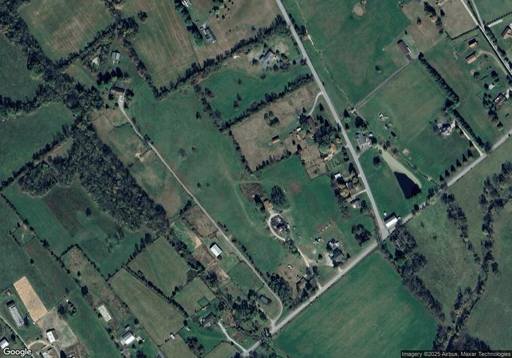
Map
Nearby Homes
- 795 Sebree Rd
- 874 Sebree Rd
- 537 Sebree Rd
- 154 Elk Dr
- 106 Elk Dr
- 1676 Graves Rd
- 635A Lot A White Oak Rd
- 130 Locust Fork Rd
- 322 Locust Fork Rd
- 1105 Locust Fork Rd
- 2588 Long Lick Pike
- 224 Snavely Rd
- 2135 Bonds Pike
- Tract 4 Hawkins Ln
- 107 Winding View Trail
- 1099 Lloyd Rd
- 1542 Long Lick Pike
- 201 Widgeon Way
- 111 Whistler Ct
- 100 Hickory Grove Ct
- 754 Sebree Rd
- 1022 Graves Rd
- 1028 Graves Rd
- 724 Sebree Rd
- 758 Sebree Rd
- 1042 Graves Rd
- 1045 Graves Rd
- 1078 Graves Rd
- 1050 Duvall Station Rd
- 862 Sebree Rd
- 704 Sebree Rd
- 693 Sebree Rd
- 1088 Graves Rd
- 676 Sebree Rd
- 980 Duvall Station Rd
- 658 Sebree Rd
- 657 Sebree Rd
- 1130 Graves Rd
- 730 Sebree Rd
- 876 Sebree Rd