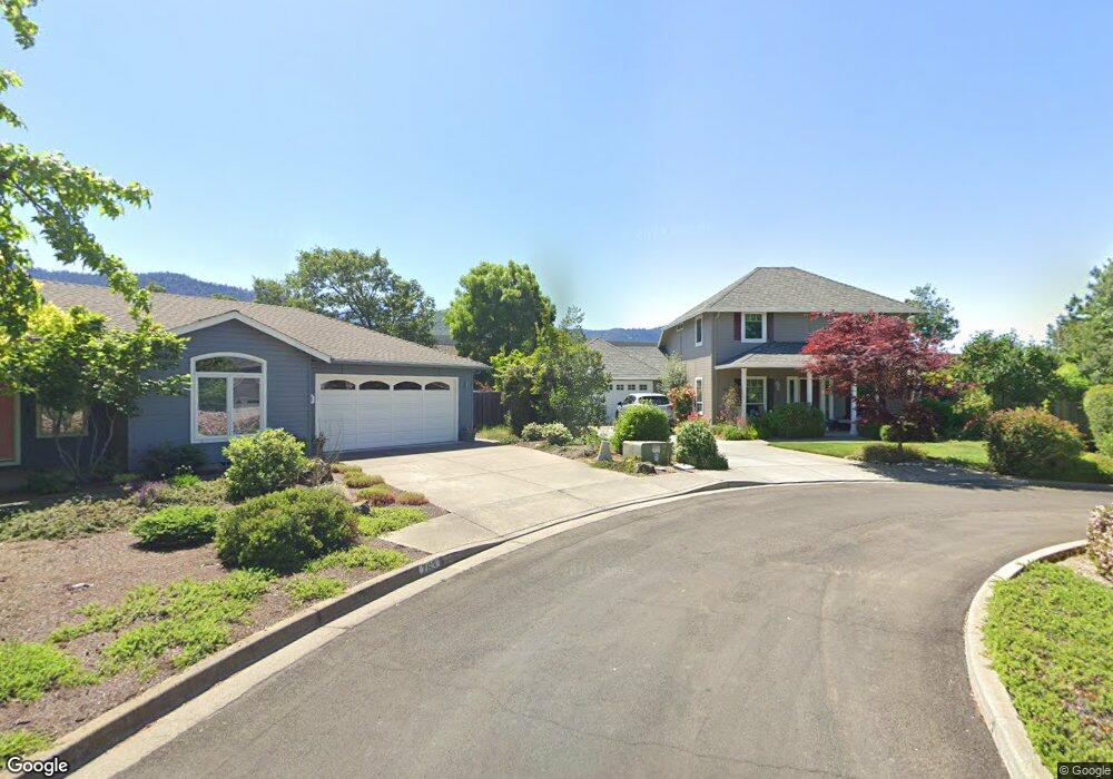
766 St Andrews Cir Ashland, OR 97520
Oak Knoll NeighborhoodEstimated Value: $498,000 - $588,000
3
Beds
3
Baths
1,613
Sq Ft
$329/Sq Ft
Est. Value
About This Home
This home is located at 766 St Andrews Cir, Ashland, OR 97520 and is currently estimated at $531,220, approximately $329 per square foot. 766 St Andrews Cir is a home located in Jackson County with nearby schools including Bellview Elementary School, Ashland Middle School, and Ashland High School.
Ownership History
Date
Name
Owned For
Owner Type
Purchase Details
Closed on
May 27, 2004
Sold by
Dejack Tova
Bought by
Walters Woo Cory K M and Walters Woo Merri
Current Estimated Value
Home Financials for this Owner
Home Financials are based on the most recent Mortgage that was taken out on this home.
Original Mortgage
$244,000
Outstanding Balance
$110,154
Interest Rate
4.87%
Mortgage Type
Purchase Money Mortgage
Estimated Equity
$421,066
Purchase Details
Closed on
Jan 3, 2002
Sold by
Oak Knoll Meadows Inc
Bought by
Dejack Anthony B and Dejack Tova
Home Financials for this Owner
Home Financials are based on the most recent Mortgage that was taken out on this home.
Original Mortgage
$209,000
Interest Rate
6.83%
Create a Home Valuation Report for This Property
The Home Valuation Report is an in-depth analysis detailing your home's value as well as a comparison with similar homes in the area
Home Values in the Area
Average Home Value in this Area
Purchase History
| Date | Buyer | Sale Price | Title Company |
|---|---|---|---|
| Walters Woo Cory K M | $305,000 | Lawyers Title Ins | |
| Dejack Anthony B | $220,000 | Jackson County Title |
Source: Public Records
Mortgage History
| Date | Status | Borrower | Loan Amount |
|---|---|---|---|
| Open | Walters Woo Cory K M | $244,000 | |
| Previous Owner | Dejack Anthony B | $209,000 | |
| Closed | Walters Woo Cory K M | $45,700 |
Source: Public Records
Tax History Compared to Growth
Tax History
| Year | Tax Paid | Tax Assessment Tax Assessment Total Assessment is a certain percentage of the fair market value that is determined by local assessors to be the total taxable value of land and additions on the property. | Land | Improvement |
|---|---|---|---|---|
| 2025 | $5,207 | $342,430 | $99,050 | $243,380 |
| 2024 | $5,207 | $332,460 | $96,170 | $236,290 |
| 2023 | $5,037 | $322,780 | $93,370 | $229,410 |
| 2022 | $4,875 | $322,780 | $93,370 | $229,410 |
| 2021 | $4,709 | $313,380 | $90,660 | $222,720 |
| 2020 | $4,577 | $304,260 | $88,020 | $216,240 |
| 2019 | $4,506 | $286,800 | $82,970 | $203,830 |
| 2018 | $4,254 | $278,450 | $80,550 | $197,900 |
| 2017 | $4,225 | $278,450 | $80,550 | $197,900 |
| 2016 | $4,115 | $262,470 | $75,940 | $186,530 |
| 2015 | $3,988 | $262,470 | $75,940 | $186,530 |
| 2014 | $3,859 | $247,410 | $71,580 | $175,830 |
Source: Public Records
Map
Nearby Homes
- 488 Crowson Rd
- 938 Cypress Point Loop
- 2799 Siskiyou Blvd Unit 7
- 2799 Siskiyou Blvd Unit 36
- 854 Twin Pines Cir Unit 7
- 805 Oak Knoll Dr
- 767 Twin Pines Cir
- 738 Fairway Ct
- 690 Spring Creek Dr
- 697 Oak Knoll Dr
- 799 E Jefferson Ave
- 601 Washington St
- 288 Maywood Way
- 996 Spring Way
- 551 Sutton Place
- 3152 Siskiyou Blvd
- 2969 Barbara St
- 1369 Tolman Creek Rd
- 933 Bellview Ave Unit 2
- 933 Bellview Ave Unit 1
- 772 St Andrews Cir Unit 92
- 772 St Andrews Cir
- 763 St Andrews Cir
- 778 St Andrews Cir
- 769 St Andrews Cir
- 761 Salishan Ct
- 775 Saint Andrews Cir
- 725 St Andrews Cir
- 741 Salishan Ct
- 760 Salishan Ct
- 786 St Andrews Cir
- 787 St Andrews Cir
- 740 Salishan Ct
- 721 Salishan Ct
- 0 Saint Andrews Cir
- 792 St Andrews Cir
- 793 St Andrews Cir
- 711 Salishan Ct
- 1105 Oak Knoll Dr
- 798 St Andrews Cir