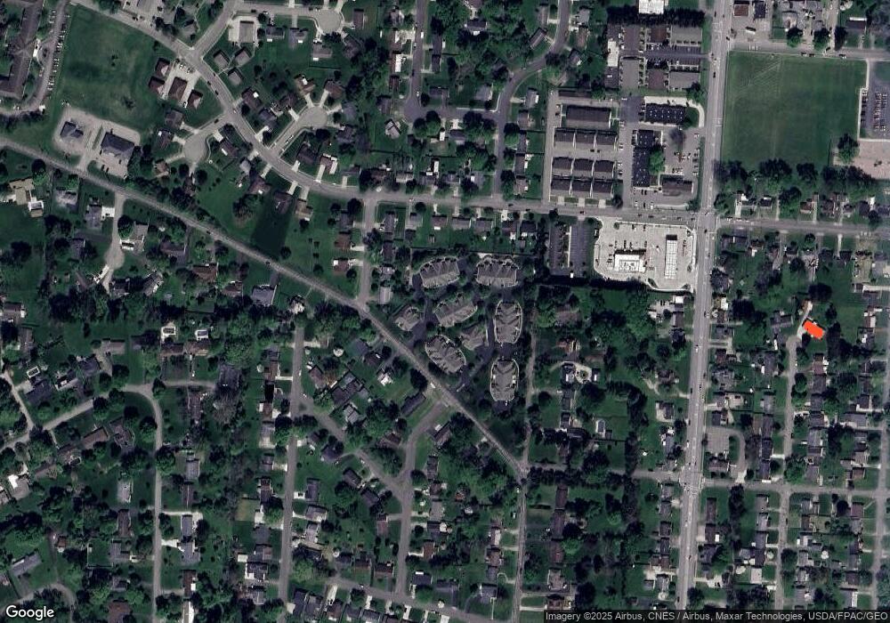
766 Stone Ridge Way Newark, OH 43055
Estimated Value: $241,000 - $285,000
2
Beds
2
Baths
1,245
Sq Ft
$215/Sq Ft
Est. Value
About This Home
This home is located at 766 Stone Ridge Way, Newark, OH 43055 and is currently estimated at $267,974, approximately $215 per square foot. 766 Stone Ridge Way is a home located in Licking County with nearby schools including Legend Elementary School, Liberty Middle School, and Newark High School.
Ownership History
Date
Name
Owned For
Owner Type
Purchase Details
Closed on
Nov 21, 2001
Sold by
Southgate Co Lp
Bought by
Garren John W and Garren Linda J
Current Estimated Value
Home Financials for this Owner
Home Financials are based on the most recent Mortgage that was taken out on this home.
Original Mortgage
$119,600
Outstanding Balance
$46,401
Interest Rate
6.62%
Mortgage Type
New Conventional
Estimated Equity
$221,573
Create a Home Valuation Report for This Property
The Home Valuation Report is an in-depth analysis detailing your home's value as well as a comparison with similar homes in the area
Home Values in the Area
Average Home Value in this Area
Purchase History
| Date | Buyer | Sale Price | Title Company |
|---|---|---|---|
| Garren John W | $149,500 | -- |
Source: Public Records
Mortgage History
| Date | Status | Borrower | Loan Amount |
|---|---|---|---|
| Open | Garren John W | $119,600 |
Source: Public Records
Tax History Compared to Growth
Tax History
| Year | Tax Paid | Tax Assessment Tax Assessment Total Assessment is a certain percentage of the fair market value that is determined by local assessors to be the total taxable value of land and additions on the property. | Land | Improvement |
|---|---|---|---|---|
| 2024 | $2,922 | $81,730 | $24,500 | $57,230 |
| 2023 | $2,916 | $81,730 | $24,500 | $57,230 |
| 2022 | $2,504 | $62,480 | $10,500 | $51,980 |
| 2021 | $2,626 | $62,480 | $10,500 | $51,980 |
| 2020 | $2,686 | $62,480 | $10,500 | $51,980 |
| 2019 | $2,578 | $57,750 | $10,500 | $47,250 |
| 2018 | $2,579 | $0 | $0 | $0 |
| 2017 | $2,445 | $0 | $0 | $0 |
| 2016 | $2,369 | $0 | $0 | $0 |
| 2015 | $2,420 | $0 | $0 | $0 |
| 2014 | $3,101 | $0 | $0 | $0 |
| 2013 | $2,289 | $0 | $0 | $0 |
Source: Public Records
Map
Nearby Homes
- 584 Moull St Unit A
- 711 Sherwick Rd
- 855 E Village Dr
- 188 Meadow Dr
- 184 Meadow Dr
- 632 Granville Rd
- 709 Meadow Dr
- 473 Meadowbrook Dr
- 440 Reverie Place
- 565 Granville St
- 1006 Kingsbury Ct Unit 1006
- 979 Granville Rd
- 408 Granville St
- 245 Rugg Ave
- 790 W Locust St
- 361 Granville St
- 262 S Quentin Rd
- 498 Marion Manor Woods
- 227 N Quentin Rd
- 181 S Quentin Rd
- 762 Stone Ridge Way
- 768 Stone Ridge Way
- 764 Stone Ridge Way Unit 764
- 776 Stone Ridge Way
- 772 Stone Ridge Way Unit 772
- 782 Stone Ridge Way Unit 782
- 732 Stone Ridge Way Unit 732
- 792 Stone Ridge Way Unit 792
- 736 Stone Ridge Way
- 774 Stone Ridge Way Unit 774
- 778 Stone Ridge Way
- 796 Stone Ridge Way
- 756 Stone Ridge Way
- 716 Stone Ridge Way Unit 716
- 746 Stone Ridge Way
- 758 Stone Ridge Way
- 742 Stone Ridge Way
- 752 Stone Ridge Way Unit 752
- 776 Hamilton Ave
- 748 Stone Ridge Way Unit 748