7660 Frontier Cir Morrison, CO 80465
Homestead NeighborhoodEstimated Value: $819,859 - $1,014,000
3
Beds
5
Baths
1,904
Sq Ft
$496/Sq Ft
Est. Value
About This Home
This home is located at 7660 Frontier Cir, Morrison, CO 80465 and is currently estimated at $944,215, approximately $495 per square foot. 7660 Frontier Cir is a home located in Jefferson County with nearby schools including Marshdale Elementary School, West Jefferson Middle School, and Conifer Senior High School.
Ownership History
Date
Name
Owned For
Owner Type
Purchase Details
Closed on
May 21, 1997
Sold by
Hartmut Beckmann and Faye Manceaux
Bought by
Department Of Transportation
Current Estimated Value
Purchase Details
Closed on
Mar 8, 1996
Sold by
Leko Mary L
Bought by
Beckmann Hartmut and Manceaux Faye
Home Financials for this Owner
Home Financials are based on the most recent Mortgage that was taken out on this home.
Original Mortgage
$189,900
Interest Rate
7.03%
Purchase Details
Closed on
Aug 20, 1994
Sold by
Buffalo Park Development Company
Bought by
Stoll Richard A and Rovin Frances Ann
Purchase Details
Closed on
Jun 10, 1994
Sold by
Cullum Colin Munro and Cullum Heike H
Bought by
Leko Mary L
Home Financials for this Owner
Home Financials are based on the most recent Mortgage that was taken out on this home.
Original Mortgage
$176,800
Interest Rate
6.25%
Create a Home Valuation Report for This Property
The Home Valuation Report is an in-depth analysis detailing your home's value as well as a comparison with similar homes in the area
Home Values in the Area
Average Home Value in this Area
Purchase History
| Date | Buyer | Sale Price | Title Company |
|---|---|---|---|
| Department Of Transportation | $5,525 | -- | |
| Beckmann Hartmut | $289,900 | -- | |
| Stoll Richard A | -- | -- | |
| Leko Mary L | $252,670 | -- |
Source: Public Records
Mortgage History
| Date | Status | Borrower | Loan Amount |
|---|---|---|---|
| Previous Owner | Beckmann Hartmut | $189,900 | |
| Previous Owner | Leko Mary L | $176,800 |
Source: Public Records
Tax History
| Year | Tax Paid | Tax Assessment Tax Assessment Total Assessment is a certain percentage of the fair market value that is determined by local assessors to be the total taxable value of land and additions on the property. | Land | Improvement |
|---|---|---|---|---|
| 2024 | $4,014 | $52,012 | $19,131 | $32,881 |
| 2023 | $4,014 | $52,012 | $19,131 | $32,881 |
| 2022 | $3,206 | $42,625 | $9,939 | $32,686 |
| 2021 | $3,232 | $43,852 | $10,226 | $33,626 |
| 2020 | $2,552 | $36,199 | $5,721 | $30,478 |
| 2019 | $3,133 | $36,199 | $5,721 | $30,478 |
| 2018 | $3,179 | $35,499 | $8,094 | $27,405 |
| 2017 | $2,789 | $35,499 | $8,094 | $27,405 |
| 2016 | $2,920 | $34,701 | $7,621 | $27,080 |
| 2015 | $2,363 | $34,701 | $7,621 | $27,080 |
| 2014 | $2,363 | $26,309 | $6,640 | $19,669 |
Source: Public Records
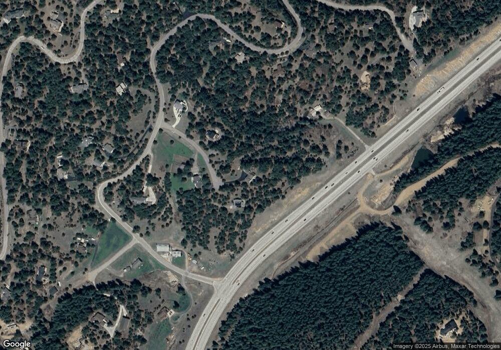
Map
Nearby Homes
- 7307 S Settlers Dr
- 8036 Settlers Dr
- 21626 Lucky Star Dr
- 8045 S Wagon Wheel Rd
- 21965 High Springs Trail
- 8001 S Homesteader Dr
- 7333 Plowsher Way
- 22056 High Spring Trail
- 7262 S Sourdough Dr
- 8111 S Homesteader Dr
- 8066 Federation Dr
- 7552 Surrey Dr
- 8220 Iowa Gulch Rd
- 7438 S Turkey Creek Rd
- 7559 S Turkey Creek Rd
- 22296 Cook Ln
- 8550 S Mariposa Dr
- 19756 Flint Ln
- 22725 Cook Ln
- 8752 S Ault Ln
- 7680 Frontier Cir
- 7641 Frontier Cir
- 7640 Frontier Cir
- 7655 Us Highway 285
- 7620 Frontier Cir
- 7777 S Sourdough Dr
- 7522 S Sourdough Dr
- 7652 S Sourdough Dr
- 7542 S Sourdough Dr
- 7562 S Sourdough Dr
- 7502 S Sourdough Dr
- 21294 Colonist Way
- 7855 S Sourdough Dr
- 7533 S Sourdough Dr
- 20687 Yoke Trail
- 7603 S Sourdough Dr
- 7643 S Sourdough Dr
- 20607 Yoke Trail
- 21303 Colonist Way
- 7583 S Sourdough Dr
Your Personal Tour Guide
Ask me questions while you tour the home.