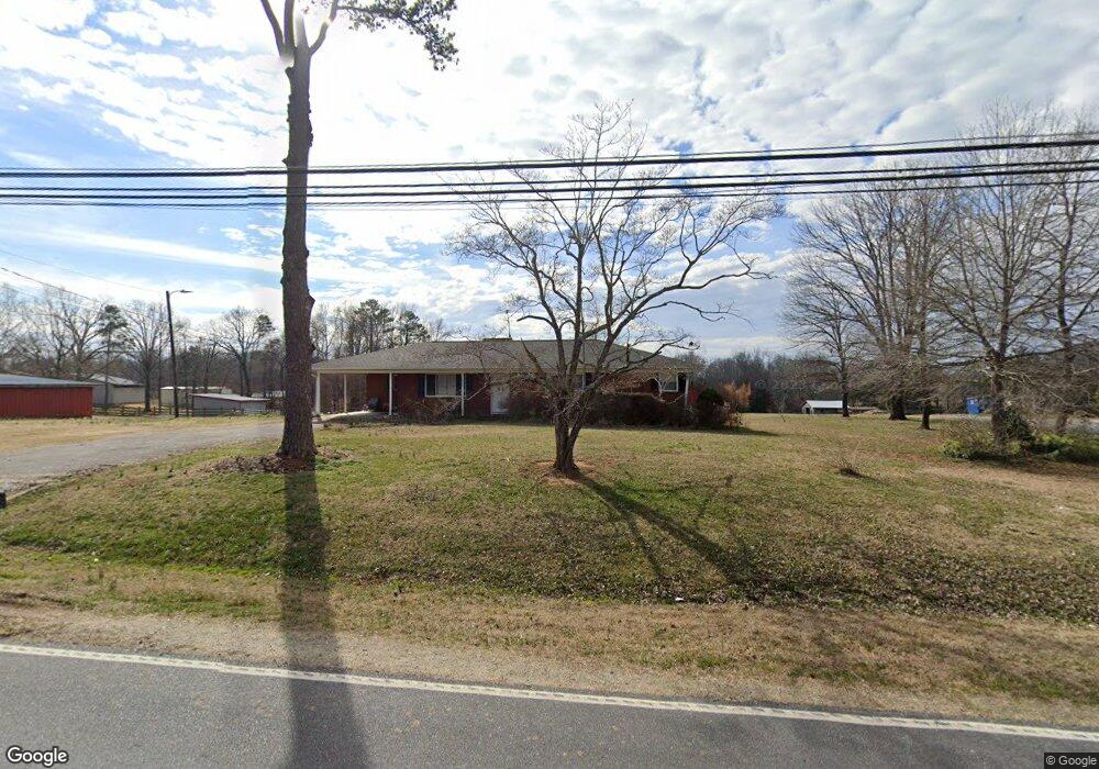
7663 Harlow Rd High Point, NC 27263
Estimated Value: $162,000 - $259,000
Studio
2
Baths
1,439
Sq Ft
$159/Sq Ft
Est. Value
About This Home
This home is located at 7663 Harlow Rd, High Point, NC 27263 and is currently estimated at $229,327, approximately $159 per square foot. 7663 Harlow Rd is a home located in Randolph County with nearby schools including John R. Lawrence Elementary School, Wheatmore Middle School, and Trinity High School.
Ownership History
Date
Name
Owned For
Owner Type
Purchase Details
Closed on
Dec 28, 2021
Sold by
Eugene Coltrane Thomas and Davis Melody
Bought by
Coltrane Lewis Stephen
Current Estimated Value
Purchase Details
Closed on
Dec 20, 2005
Sold by
Morgan Michael G and Morgan Malinda L
Bought by
Coltrane Thomas E and Coltrane Melody D
Purchase Details
Closed on
Feb 24, 1988
Bought by
Coltrane Thomas Ecoltrane Melody
Create a Home Valuation Report for This Property
The Home Valuation Report is an in-depth analysis detailing your home's value as well as a comparison with similar homes in the area
Home Values in the Area
Average Home Value in this Area
Purchase History
| Date | Buyer | Sale Price | Title Company |
|---|---|---|---|
| Coltrane Lewis Stephen | $65,000 | None Listed On Document | |
| Coltrane Thomas E | $145,000 | -- | |
| Coltrane Thomas Ecoltrane Melody | $63,500 | -- |
Source: Public Records
Tax History
| Year | Tax Paid | Tax Assessment Tax Assessment Total Assessment is a certain percentage of the fair market value that is determined by local assessors to be the total taxable value of land and additions on the property. | Land | Improvement |
|---|---|---|---|---|
| 2025 | $1,467 | $200,890 | $56,100 | $144,790 |
| 2024 | $1,447 | $200,890 | $56,100 | $144,790 |
| 2023 | $1,447 | $200,890 | $56,100 | $144,790 |
| 2022 | $1,208 | $138,100 | $31,150 | $106,950 |
| 2021 | $1,208 | $138,100 | $31,150 | $106,950 |
| 2020 | $1,199 | $138,100 | $31,150 | $106,950 |
| 2019 | $1,199 | $138,100 | $31,150 | $106,950 |
| 2018 | $1,249 | $139,080 | $31,150 | $107,930 |
| 2016 | $1,216 | $139,076 | $31,150 | $107,926 |
| 2015 | $1,219 | $139,076 | $31,150 | $107,926 |
| 2014 | -- | $139,076 | $31,150 | $107,926 |
Source: Public Records
Map
Nearby Homes
- 7358 Davis Country Rd
- 0 Harlow Rd
- 2060 Coltrane Mill Rd
- 0 Tom Ball Rd
- 0 Davis Country Rd
- 9180 River Mill Rd
- 5590 Old Cedar Square Rd
- 0 Old Cedar Square Rd
- 8434 Us Highway 311
- 2505 Banner Whitehead Rd
- 0-B Us Highway 311
- 9256 Us Highway 311
- 6047 Suits Rd
- 7653 Adams Farm Rd
- 6071 Weant Rd
- 0 Crestwood Dr
- 6955 Harlow Dr
- 9622 Us Highway 311
- 100 Lindsay Dr
- 115 Lindsay Dr
- 7689 Harlow Rd
- 7677 Harlow Rd
- 7703 Harlow Rd
- 7625 Harlow Rd
- 7719 Harlow Rd
- 7682 Harlow Rd
- 7636 Harlow Rd
- 7589 Harlow Rd
- 7732 Harlow Rd
- 7750 Harlow Rd
- 6331 Heartland Dr
- 6359 Heartland Dr
- 1840 Johnson Oak Dr
- 7539 Harlow Rd
- 7728 Harlow Rd
- 1851 Red Oak Ln
- 1829 Johnson Oak Dr
- 7799 Harlow Rd
- 6503 Hyde Away Ln
- 7209 Cedar Square Rd
Your Personal Tour Guide
Ask me questions while you tour the home.