767 County Road 472 Poplar Bluff, MO 63901
Estimated Value: $131,833 - $236,000
--
Bed
--
Bath
1,430
Sq Ft
$124/Sq Ft
Est. Value
About This Home
This home is located at 767 County Road 472, Poplar Bluff, MO 63901 and is currently estimated at $177,208, approximately $123 per square foot. 767 County Road 472 is a home with nearby schools including Poplar Bluff Fifth & Sixth Grade Center, Oak Grove Elementary School, and Poplar Bluff Junior High School.
Ownership History
Date
Name
Owned For
Owner Type
Purchase Details
Closed on
Apr 21, 2006
Sold by
Fleenor Lizaneth S and Fleenor Jeffrey
Bought by
Casinger Drenda L
Current Estimated Value
Home Financials for this Owner
Home Financials are based on the most recent Mortgage that was taken out on this home.
Original Mortgage
$140,000
Outstanding Balance
$80,267
Interest Rate
6.32%
Mortgage Type
Future Advance Clause Open End Mortgage
Estimated Equity
$96,941
Create a Home Valuation Report for This Property
The Home Valuation Report is an in-depth analysis detailing your home's value as well as a comparison with similar homes in the area
Home Values in the Area
Average Home Value in this Area
Purchase History
| Date | Buyer | Sale Price | Title Company |
|---|---|---|---|
| Casinger Drenda L | -- | -- |
Source: Public Records
Mortgage History
| Date | Status | Borrower | Loan Amount |
|---|---|---|---|
| Open | Casinger Drenda L | $140,000 |
Source: Public Records
Tax History Compared to Growth
Tax History
| Year | Tax Paid | Tax Assessment Tax Assessment Total Assessment is a certain percentage of the fair market value that is determined by local assessors to be the total taxable value of land and additions on the property. | Land | Improvement |
|---|---|---|---|---|
| 2024 | $6 | $13,420 | $0 | $0 |
| 2023 | $598 | $13,420 | $0 | $0 |
| 2022 | $580 | $13,050 | $0 | $0 |
| 2021 | $580 | $13,050 | $0 | $0 |
| 2020 | $556 | $12,310 | $0 | $0 |
| 2019 | $555 | $12,310 | $0 | $0 |
| 2018 | $555 | $12,310 | $0 | $0 |
| 2017 | -- | $12,310 | $0 | $0 |
| 2016 | -- | $12,310 | $0 | $0 |
| 2015 | -- | $12,310 | $0 | $0 |
| 2014 | -- | $11,630 | $0 | $0 |
| 2012 | $399 | $11,630 | $0 | $0 |
Source: Public Records
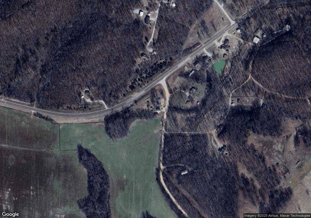
Map
Nearby Homes
- 61 County Road 4705
- 213 Murfield Dr
- 91 Pine Grove Ln
- 321 Murfield Dr
- 278 Ruth Harris Ln
- 238 Ruth Harris Ln
- 0 County Road 450
- 0 W Outer Road and Us 67 S
- 113 Lincoln Dr
- 303 Grady
- 475 Old Chisolm Trail
- 265 Berkshire Dr
- 269 Berkshire Dr
- 0 Lot 22 Legacy Estates Unit MAR25007101
- 0 Lot 15 Legacy Estates
- 0 Lot 23 Legacy Estates
- 1855 County Road 459
- 325 County Road 467
- 0 Lot 62 Legacy Estates
- 257 Berkshire Dr
- 756 County Road 472
- 15 County Road 4751
- 0 2 3 Ac + - Cr 4751 Unit 9935905
- 2292 Highway M
- 888 County Road 472
- 2503 Highway M
- 291 Musk Ln
- 65 County Road 4751
- 104 County Road 4751
- 0 Corner of Cr 475 & 4751
- 2216 Highway M
- 195 County Road 4751
- 50 County Road 475
- 2031 Carter State Highway M
- 251 County Road 475
- 297 County Road 4751
- 2032 Highway M
- 2011 Highway W
- 403 County Road 475
- 2841 Highway M