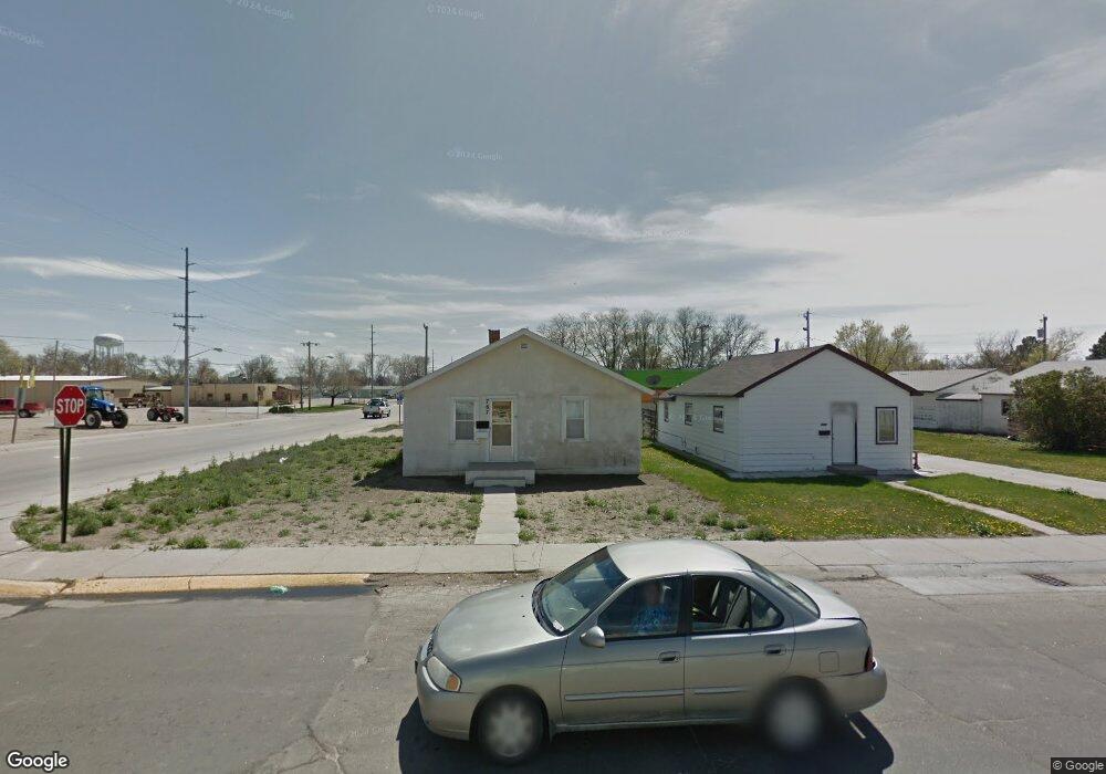
767 E 10th St Alliance, NE 69301
Estimated Value: $64,919 - $103,000
2
Beds
1
Bath
676
Sq Ft
$126/Sq Ft
Est. Value
About This Home
This home is located at 767 E 10th St, Alliance, NE 69301 and is currently estimated at $85,480, approximately $126 per square foot. 767 E 10th St is a home located in Box Butte County with nearby schools including Alliance High School, Immanuel Evangelical Lutheran School, and St. Agnes Academy.
Create a Home Valuation Report for This Property
The Home Valuation Report is an in-depth analysis detailing your home's value as well as a comparison with similar homes in the area
Home Values in the Area
Average Home Value in this Area
Tax History
| Year | Tax Paid | Tax Assessment Tax Assessment Total Assessment is a certain percentage of the fair market value that is determined by local assessors to be the total taxable value of land and additions on the property. | Land | Improvement |
|---|---|---|---|---|
| 2025 | $534 | $46,655 | $5,647 | $41,008 |
| 2024 | $534 | $42,669 | $5,134 | $37,535 |
| 2023 | $0 | $42,669 | $5,134 | $37,535 |
| 2022 | $0 | $38,838 | $4,848 | $33,990 |
| 2021 | $714 | $38,838 | $4,848 | $33,990 |
| 2020 | $714 | $38,838 | $4,848 | $33,990 |
| 2019 | $697 | $38,838 | $4,848 | $33,990 |
| 2018 | $694 | $38,838 | $4,848 | $33,990 |
| 2017 | $601 | $32,376 | $3,708 | $28,668 |
| 2016 | $594 | $32,378 | $3,710 | $28,668 |
| 2015 | $573 | $30,755 | $3,710 | $27,045 |
| 2014 | $573 | $30,753 | $3,708 | $27,045 |
Source: Public Records
Map
Nearby Homes
- TBD Nebraska 87
- 719 E 8th St
- 712 E 7th St
- 620 Hudson Ave
- 1242 Grand Ave
- 612 Grand Ave
- 808 Missouri Ave
- 1231 Missouri Ave
- 1216 Duncan Ave
- 324 Grand Ave
- 112 E 11th St
- 223 Sunset Dr
- 114 W 8th St
- 923 Laramie Ave
- 1007 Laramie Ave
- 1019 Laramie Ave
- 1103 Cheyenne Ave
- 1232 Cheyenne Ave
- 506 Cheyenne Ave
- 719 Toluca Ave
Your Personal Tour Guide
Ask me questions while you tour the home.