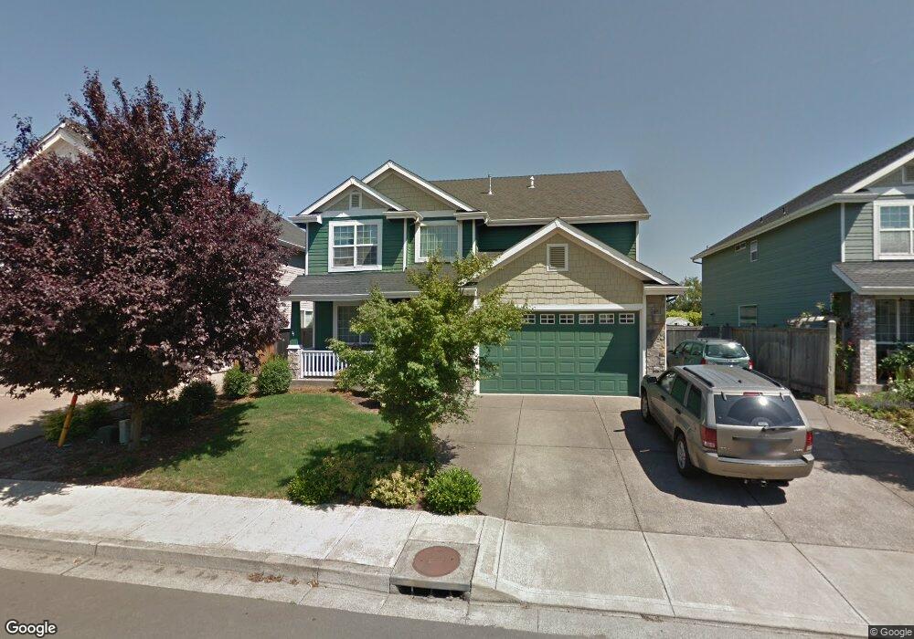
767 June Dr Molalla, OR 97038
Estimated Value: $540,759 - $601,000
5
Beds
3
Baths
2,790
Sq Ft
$206/Sq Ft
Est. Value
About This Home
This home is located at 767 June Dr, Molalla, OR 97038 and is currently estimated at $575,440, approximately $206 per square foot. 767 June Dr is a home located in Clackamas County with nearby schools including Oregon Outreach - Molalla Pride.
Ownership History
Date
Name
Owned For
Owner Type
Purchase Details
Closed on
Aug 21, 2024
Sold by
Cotton Jacqueline C
Bought by
Brumbaugh Julie Ann
Current Estimated Value
Purchase Details
Closed on
Feb 11, 2009
Sold by
Olson Darren B and Olson Lori L
Bought by
Cotton David and Cotton Jacqueline
Home Financials for this Owner
Home Financials are based on the most recent Mortgage that was taken out on this home.
Original Mortgage
$100,000
Interest Rate
5.01%
Mortgage Type
Purchase Money Mortgage
Purchase Details
Closed on
Mar 28, 2006
Sold by
Roth Built Inc
Bought by
Olson Darren B and Olson Lori L
Home Financials for this Owner
Home Financials are based on the most recent Mortgage that was taken out on this home.
Original Mortgage
$237,600
Interest Rate
6.18%
Mortgage Type
Fannie Mae Freddie Mac
Create a Home Valuation Report for This Property
The Home Valuation Report is an in-depth analysis detailing your home's value as well as a comparison with similar homes in the area
Home Values in the Area
Average Home Value in this Area
Purchase History
| Date | Buyer | Sale Price | Title Company |
|---|---|---|---|
| Brumbaugh Julie Ann | -- | None Listed On Document | |
| Cotton David | $320,000 | First American Title Insuran | |
| Olson Darren B | $298,625 | First American |
Source: Public Records
Mortgage History
| Date | Status | Borrower | Loan Amount |
|---|---|---|---|
| Previous Owner | Cotton David | $100,000 | |
| Previous Owner | Olson Darren B | $237,600 |
Source: Public Records
Tax History Compared to Growth
Tax History
| Year | Tax Paid | Tax Assessment Tax Assessment Total Assessment is a certain percentage of the fair market value that is determined by local assessors to be the total taxable value of land and additions on the property. | Land | Improvement |
|---|---|---|---|---|
| 2025 | $5,621 | $293,411 | -- | -- |
| 2024 | $5,433 | $284,866 | -- | -- |
| 2023 | $5,433 | $276,569 | $0 | $0 |
| 2022 | $4,480 | $268,514 | $0 | $0 |
| 2021 | $4,296 | $260,694 | $0 | $0 |
| 2020 | $4,176 | $253,101 | $0 | $0 |
| 2019 | $4,055 | $245,730 | $0 | $0 |
| 2018 | $3,941 | $238,573 | $0 | $0 |
| 2017 | $3,779 | $231,624 | $0 | $0 |
| 2016 | $3,583 | $224,878 | $0 | $0 |
| 2015 | $3,481 | $218,328 | $0 | $0 |
| 2014 | $3,373 | $211,969 | $0 | $0 |
Source: Public Records
Map
Nearby Homes
- 947 Meadowlark Place
- 871 Mary Dr
- 1181 Rachel Ln
- 1141 Rachel Ln
- 1341 Rachel Ln
- 1121 Rachel Ln
- 1101 Rachel Ln
- 1241 Rachel Ln
- 1291 Rachel Ln
- 714 Saint James Place
- 1424 Mount View Ln
- 340 Doug Fir Ln
- 862 Bear Creek Dr
- 900 Bear Creek Dr
- 30683 S Highway 213
- 3 Revilot Ct
- 205 W Heintz St Unit 708
- 902 S View Dr
- 0 W Main St Unit 765814723
- 1014 S View Dr