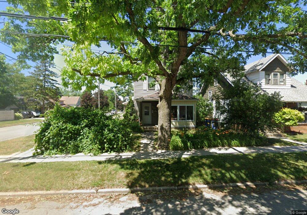
767 Knapp St NE Grand Rapids, MI 49505
Creston NeighborhoodEstimated Value: $313,726 - $340,000
3
Beds
2
Baths
2,068
Sq Ft
$157/Sq Ft
Est. Value
About This Home
This home is located at 767 Knapp St NE, Grand Rapids, MI 49505 and is currently estimated at $325,432, approximately $157 per square foot. 767 Knapp St NE is a home located in Kent County with nearby schools including Riverside Middle School, Union High School, and ISJ Academy.
Ownership History
Date
Name
Owned For
Owner Type
Purchase Details
Closed on
Aug 9, 1996
Sold by
Vanderark Vanderark D D and Vanderark Vndrrk D
Bought by
Vndrrk D and Dva Llc
Current Estimated Value
Purchase Details
Closed on
Mar 29, 1995
Sold by
Briggs Briggs C C and Briggs Vanderark D
Bought by
Vanderark D and Dva Llc
Purchase Details
Closed on
May 9, 1984
Create a Home Valuation Report for This Property
The Home Valuation Report is an in-depth analysis detailing your home's value as well as a comparison with similar homes in the area
Home Values in the Area
Average Home Value in this Area
Purchase History
| Date | Buyer | Sale Price | Title Company |
|---|---|---|---|
| Vndrrk D | -- | -- | |
| Vanderark D | -- | -- | |
| -- | $12,900 | -- |
Source: Public Records
Tax History Compared to Growth
Tax History
| Year | Tax Paid | Tax Assessment Tax Assessment Total Assessment is a certain percentage of the fair market value that is determined by local assessors to be the total taxable value of land and additions on the property. | Land | Improvement |
|---|---|---|---|---|
| 2025 | $2,385 | $141,400 | $0 | $0 |
| 2024 | $2,385 | $122,500 | $0 | $0 |
| 2023 | $2,366 | $106,700 | $0 | $0 |
| 2022 | $2,163 | $93,800 | $0 | $0 |
| 2021 | $2,191 | $82,600 | $0 | $0 |
| 2020 | $2,118 | $74,900 | $0 | $0 |
| 2019 | $2,168 | $64,100 | $0 | $0 |
| 2018 | $2,102 | $52,500 | $0 | $0 |
| 2017 | $2,050 | $44,100 | $0 | $0 |
| 2016 | $2,061 | $39,900 | $0 | $0 |
| 2015 | $1,963 | $39,900 | $0 | $0 |
| 2013 | -- | $42,000 | $0 | $0 |
Source: Public Records
Map
Nearby Homes
- 2038 Melita Ave NE
- 738 Graceland St NE
- 612 Woodridge St NE
- 778 Eleanor St NE
- 1825 Meadowfield Dr NE
- 1848 Emerald Ave NE
- 1757 Westlane Dr NE
- 2019 Plainfield Ave NE
- 465 Kenwood St NE
- 2030 Sinclair Ave NE
- 861 Aberdeen St NE
- 321 Knapp St NE
- 1824 Herrick Ave NE
- 1119 Kentwood Dr NE
- 240 Eleanor St NE
- 2100 Dawson Ave NE
- 2471 Union Ave NE
- 1922 Coit Ave NE
- 1335 Knapp St NE
- 2027 Joan Ave NE
- 771 Knapp St NE
- 773 Knapp St NE
- 2012 Rowe Ave NE
- 755 Knapp St NE
- 2016 Rowe Ave NE
- 751 Knapp St NE
- 779 Knapp St NE
- 779 Knapp St NE Unit 781
- 2013 Rowe Ave NE
- 2022 Rowe Ave NE
- 747 Knapp St NE
- 2013 Eastern Ave NE
- 2017 Rowe Ave NE
- 785 Knapp St NE
- 2017 Eastern Ave NE
- 2023 Rowe Ave NE
- 2023 Eastern Ave NE
- 2029 Rowe Ave NE
- 3741 Eastern Ave NE
- 2032 Rowe Ave NE