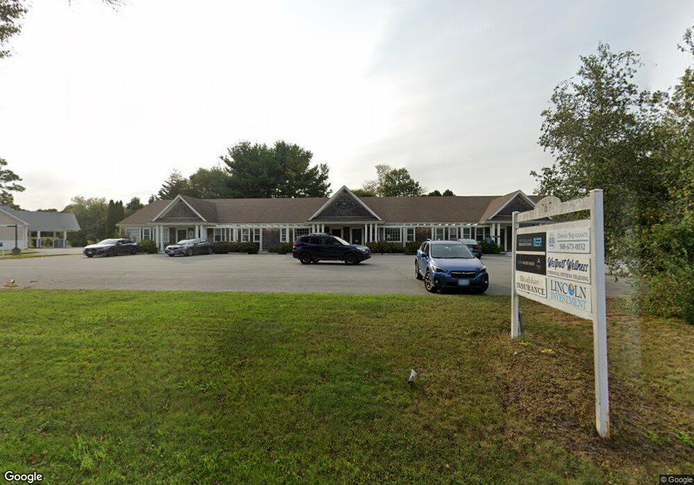
767 Main Rd Unit 6 Westport, MA 02790
Booth/Handy Four Corners NeighborhoodEstimated Value: $442,538
--
Bed
1
Bath
936
Sq Ft
$473/Sq Ft
Est. Value
About This Home
This home is located at 767 Main Rd Unit 6, Westport, MA 02790 and is currently estimated at $442,538, approximately $472 per square foot. 767 Main Rd Unit 6 is a home located in Bristol County with nearby schools including Alice A. Macomber Primary School, Westport Elementary School, and Westport Middle-High School.
Ownership History
Date
Name
Owned For
Owner Type
Purchase Details
Closed on
Oct 28, 2022
Sold by
Squillante Denise R
Bought by
767 Main Rd Realty Llc
Current Estimated Value
Home Financials for this Owner
Home Financials are based on the most recent Mortgage that was taken out on this home.
Original Mortgage
$302,400
Outstanding Balance
$290,600
Interest Rate
6.02%
Mortgage Type
Purchase Money Mortgage
Estimated Equity
$151,938
Purchase Details
Closed on
Aug 1, 2002
Sold by
Elle-Mar Llc
Bought by
Squillante Denise R
Home Financials for this Owner
Home Financials are based on the most recent Mortgage that was taken out on this home.
Original Mortgage
$110,080
Interest Rate
6.64%
Mortgage Type
Commercial
Purchase Details
Closed on
Jul 25, 2001
Sold by
Mathews Doris J
Bought by
Elle Mar Llc
Home Financials for this Owner
Home Financials are based on the most recent Mortgage that was taken out on this home.
Original Mortgage
$95,000
Interest Rate
7.18%
Mortgage Type
Commercial
Purchase Details
Closed on
Jul 26, 1991
Sold by
Central Village T
Bought by
Mathews Doris J
Create a Home Valuation Report for This Property
The Home Valuation Report is an in-depth analysis detailing your home's value as well as a comparison with similar homes in the area
Home Values in the Area
Average Home Value in this Area
Purchase History
| Date | Buyer | Sale Price | Title Company |
|---|---|---|---|
| 767 Main Rd Realty Llc | $360,000 | None Available | |
| Squillante Denise R | $145,000 | -- | |
| Elle Mar Llc | $125,000 | -- | |
| Mathews Doris J | $85,000 | -- | |
| Mathews Doris J | $85,000 | -- |
Source: Public Records
Mortgage History
| Date | Status | Borrower | Loan Amount |
|---|---|---|---|
| Open | 767 Main Rd Realty Llc | $302,400 | |
| Previous Owner | Mathews Doris J | $200,000 | |
| Previous Owner | Mathews Doris J | $110,080 | |
| Previous Owner | Mathews Doris J | $95,000 |
Source: Public Records
Tax History Compared to Growth
Tax History
| Year | Tax Paid | Tax Assessment Tax Assessment Total Assessment is a certain percentage of the fair market value that is determined by local assessors to be the total taxable value of land and additions on the property. | Land | Improvement |
|---|---|---|---|---|
| 2025 | $1,735 | $232,900 | $0 | $232,900 |
| 2024 | $1,418 | $183,500 | $0 | $183,500 |
| 2023 | $1,114 | $136,500 | $0 | $136,500 |
| 2022 | $1,119 | $129,800 | $0 | $129,800 |
| 2021 | $1,119 | $129,800 | $0 | $129,800 |
| 2020 | $1,094 | $129,800 | $0 | $129,800 |
| 2019 | $1,087 | $131,400 | $0 | $131,400 |
| 2018 | $1,154 | $141,300 | $0 | $141,300 |
| 2017 | $1,173 | $147,200 | $0 | $147,200 |
| 2016 | $1,164 | $147,200 | $0 | $147,200 |
| 2015 | $1,214 | $153,100 | $0 | $153,100 |
Source: Public Records
Map
Nearby Homes
- 8 Village Way
- 7 Village Way
- 837 Main Rd
- 15 Village Way
- 101 Adamsville Rd
- 920 Drift Rd
- 8 Strawberry Ln
- 225 Hixbridge Rd
- 118 Charlotte White Rd Extension
- 0 Hidden Glen Ln
- 118 Charlotte White Rd
- 978 Sodom Rd
- Lot 0 Marcotte
- 1346 Main Rd Unit B
- 47 Fallon Dr
- 73 White Oak Run
- 17 Quail Trail
- 6 Angel Ct
- 4 Main Rd
- 99 Sylvia Ln
- 767 Main Rd Unit 5
- 791 Main Rd
- 760 Main Rd
- 747 Main Rd
- 748 Main Rd
- 735 Main Rd
- 740 Main Rd
- 819 Main Rd Unit 821
- 1 Village Way
- 2 Village Way
- 721 Main Rd Unit 723
- 4 Village Way
- 4 Village Way Unit 4
- 829 Main Rd Unit B & D
- 829 Main Rd
- 3 Village Way
- 5 Village Way
- 00 Withheld
- 0 Wine and Beer Making Unit 72619395
- 1 Breakfast Way