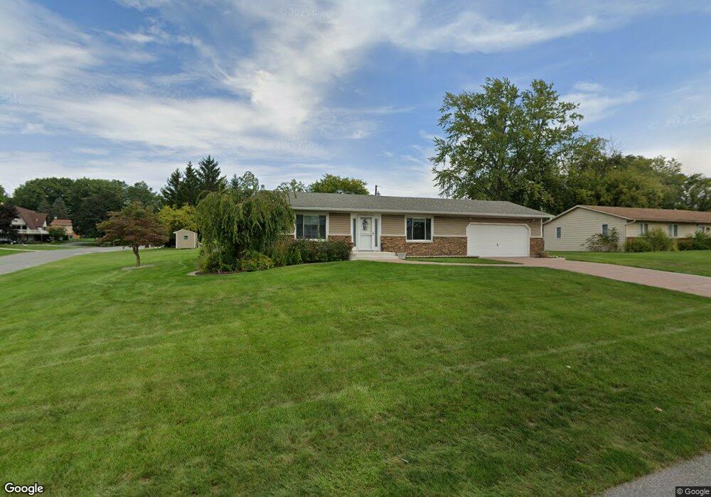
767 Mississinewa Rd Chesterton, IN 46304
Estimated Value: $308,946 - $353,000
3
Beds
2
Baths
1,396
Sq Ft
$237/Sq Ft
Est. Value
About This Home
This home is located at 767 Mississinewa Rd, Chesterton, IN 46304 and is currently estimated at $331,237, approximately $237 per square foot. 767 Mississinewa Rd is a home located in Porter County with nearby schools including Brummitt Elementary School, Westchester Intermediate School, and Chesterton Middle School.
Ownership History
Date
Name
Owned For
Owner Type
Purchase Details
Closed on
Jun 2, 2025
Sold by
Grennes Donna J
Bought by
Peterson Daryl L and Thomas-Peterson Hilary
Current Estimated Value
Home Financials for this Owner
Home Financials are based on the most recent Mortgage that was taken out on this home.
Original Mortgage
$350,000
Outstanding Balance
$349,101
Interest Rate
6.81%
Mortgage Type
VA
Estimated Equity
-$17,864
Create a Home Valuation Report for This Property
The Home Valuation Report is an in-depth analysis detailing your home's value as well as a comparison with similar homes in the area
Home Values in the Area
Average Home Value in this Area
Purchase History
| Date | Buyer | Sale Price | Title Company |
|---|---|---|---|
| Peterson Daryl L | -- | Fidelity National Title |
Source: Public Records
Mortgage History
| Date | Status | Borrower | Loan Amount |
|---|---|---|---|
| Open | Peterson Daryl L | $350,000 |
Source: Public Records
Tax History Compared to Growth
Tax History
| Year | Tax Paid | Tax Assessment Tax Assessment Total Assessment is a certain percentage of the fair market value that is determined by local assessors to be the total taxable value of land and additions on the property. | Land | Improvement |
|---|---|---|---|---|
| 2024 | $3,706 | $329,500 | $56,900 | $272,600 |
| 2023 | $3,686 | $311,000 | $52,300 | $258,700 |
| 2022 | $3,429 | $284,800 | $52,300 | $232,500 |
| 2021 | $3,289 | $262,300 | $52,300 | $210,000 |
| 2020 | $3,228 | $255,700 | $45,500 | $210,200 |
| 2019 | $3,020 | $239,000 | $45,500 | $193,500 |
| 2018 | $2,904 | $230,400 | $45,500 | $184,900 |
| 2017 | $2,743 | $218,700 | $45,500 | $173,200 |
| 2016 | $2,592 | $212,800 | $49,000 | $163,800 |
| 2014 | $2,535 | $204,800 | $46,400 | $158,400 |
| 2013 | -- | $178,100 | $46,700 | $131,400 |
Source: Public Records
Map
Nearby Homes
- 120 Pine Dr Unit H
- 103 Summertree Dr
- 860 Quail Ridge Dr
- 188 Summertree Dr
- 1239 Fox Hollow Dr
- 319 Michigami Trail
- 0 Haglund Rd Unit NRA821369
- 647 N Calumet Rd
- 2535 State St
- 308 Rankin St
- 315 Franklin St
- 108 Indian Boundary Rd
- 116 Rankin St
- 42 Karner Blue Ct
- 45 Karner Ct
- 43 Karner Blue Ct
- 140 N Jackson Blvd
- 150 16th St
- 131 N 18th St
- 506 W Morgan Ave
- 753 Mississinewa Rd
- 772 Moraine Rd
- 752 Moraine Rd
- 1309 Morningside Dr
- 1293 Morningside Dr
- 739 Mississinewa Rd
- 732 Moraine Rd
- 1325 Morningside Dr
- 752 Mississinewa Rd
- 1341 Morningside Dr
- 708 Moraine Rd
- 705 Mississinewa Rd
- 767 Moraine Rd
- 1263 Morningside Dr
- 732 Mississinewa Rd
- 767 Tamarack Trail
- 739 Moraine Rd
- 1357 Morningside Dr
- 0 Morningside Dr
- 753 Tamarack Trail