Estimated Value: $2,705,000 - $4,000,000
4
Beds
5
Baths
3,079
Sq Ft
$1,123/Sq Ft
Est. Value
About This Home
This home is located at 767 Potato Patch Dr Unit 2, Vail, CO 81657 and is currently estimated at $3,457,724, approximately $1,123 per square foot. 767 Potato Patch Dr Unit 2 is a home located in Eagle County with nearby schools including Red Sandstone Elementary School and Battle Mountain High School.
Ownership History
Date
Name
Owned For
Owner Type
Purchase Details
Closed on
Apr 15, 2019
Sold by
Taylor Gentry Howard
Bought by
Gentry Howard Taylor Gst Trust
Current Estimated Value
Purchase Details
Closed on
Jan 12, 2000
Sold by
Ehs Inc
Bought by
Howard Jacquelyn J
Purchase Details
Closed on
Apr 30, 1997
Sold by
Nudell Arnold
Bought by
Ehs Inc
Create a Home Valuation Report for This Property
The Home Valuation Report is an in-depth analysis detailing your home's value as well as a comparison with similar homes in the area
Home Values in the Area
Average Home Value in this Area
Purchase History
| Date | Buyer | Sale Price | Title Company |
|---|---|---|---|
| Gentry Howard Taylor Gst Trust | -- | None Available | |
| Howard Jacquelyn J | $1,100,000 | Land Title | |
| Ehs Inc | $750,000 | Land Title |
Source: Public Records
Tax History
| Year | Tax Paid | Tax Assessment Tax Assessment Total Assessment is a certain percentage of the fair market value that is determined by local assessors to be the total taxable value of land and additions on the property. | Land | Improvement |
|---|---|---|---|---|
| 2025 | $7,359 | $189,480 | $22,700 | $166,780 |
| 2024 | $7,377 | $155,100 | $18,570 | $136,530 |
| 2023 | $7,377 | $155,100 | $18,570 | $136,530 |
| 2022 | $5,936 | $115,520 | $13,820 | $101,700 |
| 2021 | $6,113 | $118,850 | $14,220 | $104,630 |
| 2020 | $5,653 | $111,390 | $13,320 | $98,070 |
| 2019 | $5,672 | $111,390 | $13,320 | $98,070 |
| 2018 | $5,687 | $109,470 | $13,090 | $96,380 |
| 2017 | $5,659 | $109,470 | $13,090 | $96,380 |
| 2016 | $4,913 | $96,080 | $11,480 | $84,600 |
| 2015 | -- | $96,080 | $11,480 | $84,600 |
| 2014 | $3,992 | $84,910 | $10,140 | $74,770 |
Source: Public Records
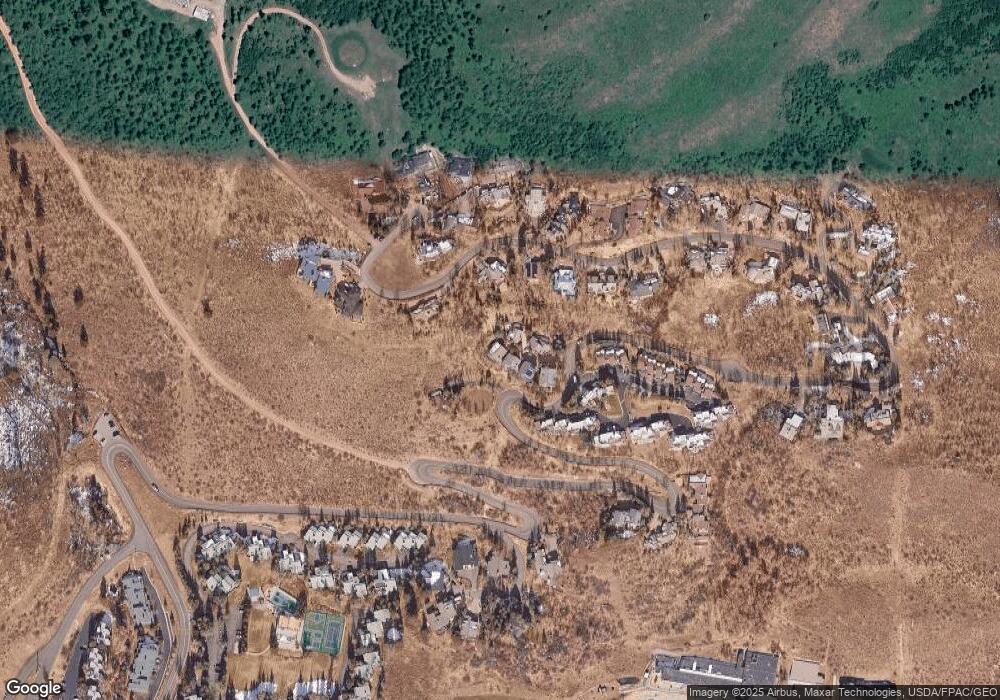
Map
Nearby Homes
- 770 Potato Patch Dr Unit 14
- 775 Potato Patch Dr Unit E
- 780 Potato Patch Dr
- 625 N Frontage Rd W Unit 22
- 625 N Frontage Rd W Unit 32B
- 945 Red Sandstone Rd Unit 5
- 701 W Lionshead Cir Unit E307
- 701 W Lionshead Cir Unit W404
- 701 W Lionshead Cir Unit W503
- 980 Vail View Dr Unit 304
- 980 Vail View Dr Unit 215
- 610 W Lionshead Cir Unit 704
- 610 W Lionshead Cir Unit 517
- 610 W Lionshead Cir Unit 115
- 508 E Lionshead Cir Unit 604-49
- 508 E Lionshead Cir Unit 310/week 8
- 508 E Lionshead Cir Unit 214
- 508 E Lionshead Cir Unit 310/Week 23
- 508 E Lionshead Cir Unit 105
- 508 E Lionshead Cir Unit 604/Week 9
- 767 Potato Patch Dr
- 767 Potato Patch Par Dr
- 767 Potato Patch Dr Unit 6
- 767 Potato Patch Dr Unit B
- 767 Potato Patch Dr Unit 4
- 767 Potato Patch Dr Unit 3
- 767 Potato Patch Dr Unit 2
- 767 Potato Patch Dr Unit 1
- 767 Potato Patch Dr
- 767 Potato Patch Dr Unit 5
- 817 Potato Patch Dr
- 765 Potato Patch Dr
- 770 Potato Patch Dr Unit G
- 770 Potato Patch Dr Unit K
- 770 Potato Patch Dr Unit J
- 770 Potato Patch Dr Unit 13
- 770 Potato Patch Dr Unit 8
- 770 Potato Patch Dr Unit B
- 770 Potato Patch Dr Unit 10
- 770 Potato Patch Dr Unit 15
Your Personal Tour Guide
Ask me questions while you tour the home.