Estimated Value: $2,668,000 - $4,261,000
4
Beds
5
Baths
3,019
Sq Ft
$1,167/Sq Ft
Est. Value
About This Home
This home is located at 767 Potato Patch Dr Unit 4, Vail, CO 81657 and is currently estimated at $3,523,049, approximately $1,166 per square foot. 767 Potato Patch Dr Unit 4 is a home located in Eagle County with nearby schools including Red Sandstone Elementary School and Battle Mountain High School.
Ownership History
Date
Name
Owned For
Owner Type
Purchase Details
Closed on
May 7, 2003
Sold by
Graskamp Victoria T
Bought by
Tenenblatt William and Tenenblatt Anna
Current Estimated Value
Purchase Details
Closed on
Jul 1, 1999
Sold by
Tuohy Francis J
Bought by
Graskamp Victoria T
Home Financials for this Owner
Home Financials are based on the most recent Mortgage that was taken out on this home.
Original Mortgage
$400,000
Interest Rate
7.39%
Purchase Details
Closed on
Oct 5, 1998
Sold by
Tuohy Karen C
Bought by
Tuohy Francis J
Create a Home Valuation Report for This Property
The Home Valuation Report is an in-depth analysis detailing your home's value as well as a comparison with similar homes in the area
Home Values in the Area
Average Home Value in this Area
Purchase History
| Date | Buyer | Sale Price | Title Company |
|---|---|---|---|
| Tenenblatt William | $1,150,000 | Stewart Title Of Vail Inc | |
| Graskamp Victoria T | $500,000 | Land Title | |
| Tuohy Francis J | -- | -- |
Source: Public Records
Mortgage History
| Date | Status | Borrower | Loan Amount |
|---|---|---|---|
| Previous Owner | Graskamp Victoria T | $400,000 |
Source: Public Records
Tax History
| Year | Tax Paid | Tax Assessment Tax Assessment Total Assessment is a certain percentage of the fair market value that is determined by local assessors to be the total taxable value of land and additions on the property. | Land | Improvement |
|---|---|---|---|---|
| 2024 | $8,611 | $181,040 | $21,640 | $159,400 |
| 2023 | $8,611 | $181,040 | $21,640 | $159,400 |
| 2022 | $6,434 | $125,200 | $14,940 | $110,260 |
| 2021 | $6,625 | $128,810 | $15,370 | $113,440 |
| 2020 | $6,128 | $120,750 | $14,400 | $106,350 |
| 2019 | $6,148 | $120,750 | $14,400 | $106,350 |
| 2018 | $6,165 | $118,670 | $14,150 | $104,520 |
| 2017 | $6,135 | $118,670 | $14,150 | $104,520 |
| 2016 | $5,489 | $107,350 | $12,780 | $94,570 |
| 2015 | -- | $107,350 | $12,780 | $94,570 |
| 2014 | -- | $99,750 | $11,870 | $87,880 |
Source: Public Records
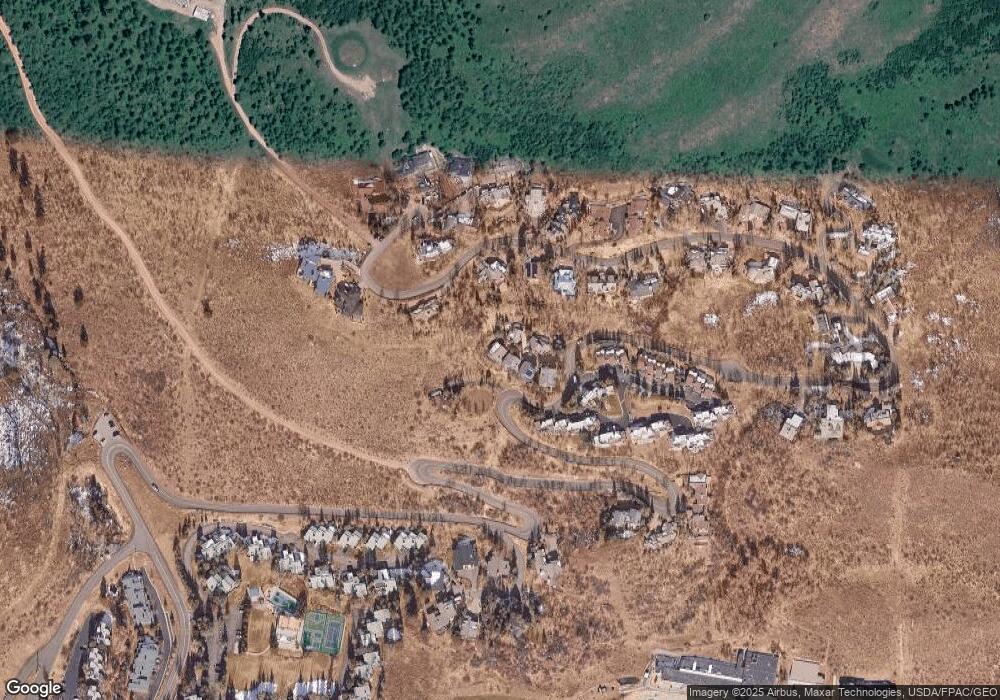
Map
Nearby Homes
- 770 Potato Patch Dr Unit 14
- 625 N Frontage Rd W Unit 22
- 605 N Frontage Rd W Unit 14A
- 775 Potato Patch Dr Unit E
- 780 Potato Patch Dr
- 945 Red Sandstone Rd Unit 5
- 980 Vail View Dr Unit 304
- 701 W Lionshead Cir Unit E307
- 701 W Lionshead Cir Unit W404
- 921 Red Sandstone Rd Unit A
- 927 Red Sandstone Rd
- 548 S Frontage Rd E Unit 301
- 548 S Frontage Rd W Unit 201
- 610 W Lionshead Cir Unit 704
- 610 W Lionshead Cir Unit 517
- 610 W Lionshead Cir Unit 115
- 616 W Lionshead Cir Unit 4B
- 710 W Lionshead Cir Unit 311
- 707 W Lionshead Cir Unit B6
- 508 E Lionshead Cir Unit 604-49
- 767 Potato Patch Dr Unit 6
- 767 Potato Patch Dr Unit B
- 767 Potato Patch Dr Unit 3
- 767 Potato Patch Dr Unit 2
- 767 Potato Patch Dr Unit 1
- 767 Potato Patch Dr
- 767 Potato Patch Dr Unit 5
- 767 Potato Patch Par Dr
- 767 Potato Patch Dr Unit 2
- 767 Potato Patch Dr
- 797 Potato Patch Dr
- 795 Potato Patch Dr Unit A
- 795 Potato Patch Dr Unit B
- 795 Potato Patch Dr
- 817 Potato Patch Dr
- 799 Potato Patch Dr Unit B
- 799 Potato Patch Dr Unit A
- 799 Potato Patch Dr
- 765 Potato Patch Dr
- 793 Potato Patch Dr Unit B
Your Personal Tour Guide
Ask me questions while you tour the home.