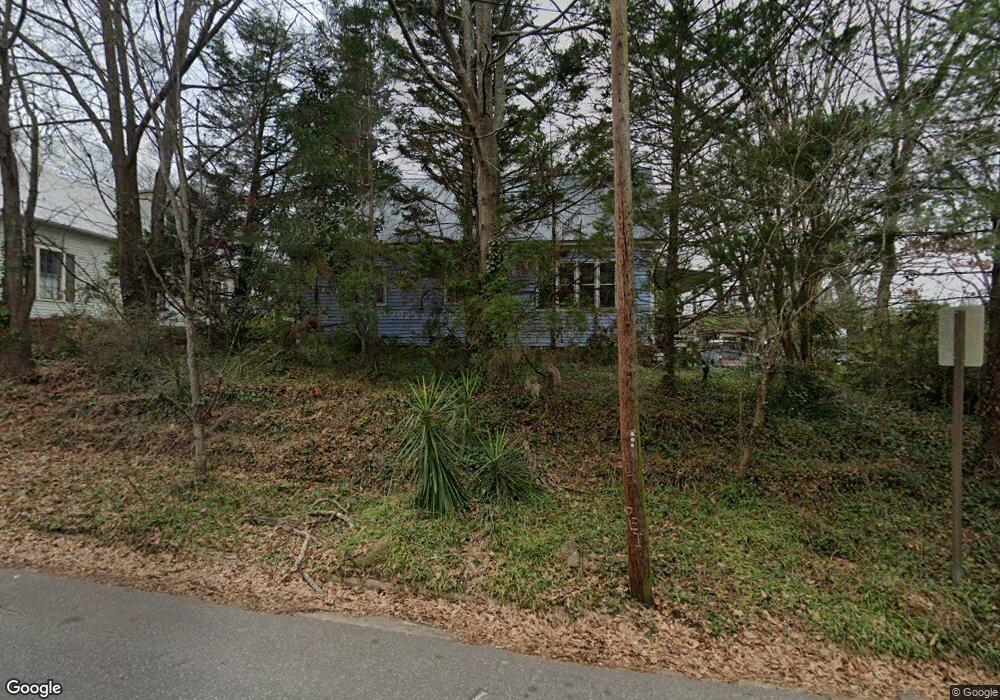
767 Pulaski St Athens, GA 30601
Newtown NeighborhoodEstimated Value: $253,000 - $340,000
--
Bed
--
Bath
1,210
Sq Ft
$244/Sq Ft
Est. Value
About This Home
This home is located at 767 Pulaski St, Athens, GA 30601 and is currently estimated at $295,694, approximately $244 per square foot. 767 Pulaski St is a home located in Clarke County with nearby schools including Barrow Elementary School, Clarke Middle School, and Clarke Central High School.
Ownership History
Date
Name
Owned For
Owner Type
Purchase Details
Closed on
Jul 13, 2004
Sold by
Totty John W
Bought by
Ross Amy J
Current Estimated Value
Purchase Details
Closed on
Mar 29, 2002
Sold by
Totty Austin F and Totty John W
Bought by
Totty John W
Purchase Details
Closed on
Mar 31, 1997
Sold by
Zenere Antonio
Bought by
Totty Austin F and Totty John W
Purchase Details
Closed on
Oct 7, 1994
Sold by
Hardwick Elaine O
Bought by
Zenere Antonio
Purchase Details
Closed on
Jul 2, 1990
Sold by
Mcburnett Robert Keith
Bought by
Hardwick Elaine O
Create a Home Valuation Report for This Property
The Home Valuation Report is an in-depth analysis detailing your home's value as well as a comparison with similar homes in the area
Home Values in the Area
Average Home Value in this Area
Purchase History
| Date | Buyer | Sale Price | Title Company |
|---|---|---|---|
| Ross Amy J | $156,000 | -- | |
| Totty John W | -- | -- | |
| Totty Austin F | $59,900 | -- | |
| Zenere Antonio | $45,700 | -- | |
| Hardwick Elaine O | $43,500 | -- |
Source: Public Records
Tax History Compared to Growth
Tax History
| Year | Tax Paid | Tax Assessment Tax Assessment Total Assessment is a certain percentage of the fair market value that is determined by local assessors to be the total taxable value of land and additions on the property. | Land | Improvement |
|---|---|---|---|---|
| 2025 | $2,969 | $111,532 | $28,000 | $83,532 |
| 2024 | $2,969 | $111,532 | $28,000 | $83,532 |
| 2023 | $2,986 | $120,771 | $28,000 | $92,771 |
| 2022 | $3,027 | $104,891 | $28,000 | $76,891 |
| 2021 | $2,692 | $89,867 | $28,000 | $61,867 |
| 2020 | $2,742 | $82,380 | $24,000 | $58,380 |
| 2019 | $2,424 | $81,412 | $20,000 | $61,412 |
| 2018 | $2,329 | $78,613 | $20,000 | $58,613 |
| 2017 | $2,217 | $75,313 | $20,000 | $55,313 |
| 2016 | $1,934 | $66,964 | $20,000 | $46,964 |
| 2015 | $1,909 | $66,129 | $20,000 | $46,129 |
| 2014 | $1,702 | $59,955 | $18,000 | $41,955 |
Source: Public Records
Map
Nearby Homes
- 145 Hendrix Ave
- 668 Pulaski St
- 270 Atlanta Ave
- 600 Pulaski St
- 697 Barber St
- 559 Pulaski St
- 100 Prince Ave Unit A404
- 100 Prince Ave Unit A407
- 195 Beulah Ave
- 570 Prince Ave
- 239 Ruth St Unit 15
- 239 Madison Heights
- 257 Hill St
- 248 Fern Ridge Ct
- 269 N Hull St Unit 212
- 455 Ruth St
- 165 Maxey Blvd
- 155 Maxey Blvd
- 135 Maxey Blvd
- 468 N Milledge Ave Unit 203
- 775 Pulaski St
- 757 Pulaski St
- 227 Cleveland Ave
- 235 Cleveland Ave
- 0 Kendene St Unit 3267674
- 0 Kendene St
- 111 Kendene St
- 121 Kendene St
- 733 Pulaski St
- 243 Cleveland Ave
- 762 Pulaski St
- 782 Pulaski St
- 790 Pulaski St
- 133 Kendene St
- 731 Pulaski St
- 250 Cleveland Ave Unit 415
- 250 Cleveland Ave
- 250 Cleveland Ave Unit 245
- 250 Cleveland Ave Unit 147
- 238 Cleveland Ave