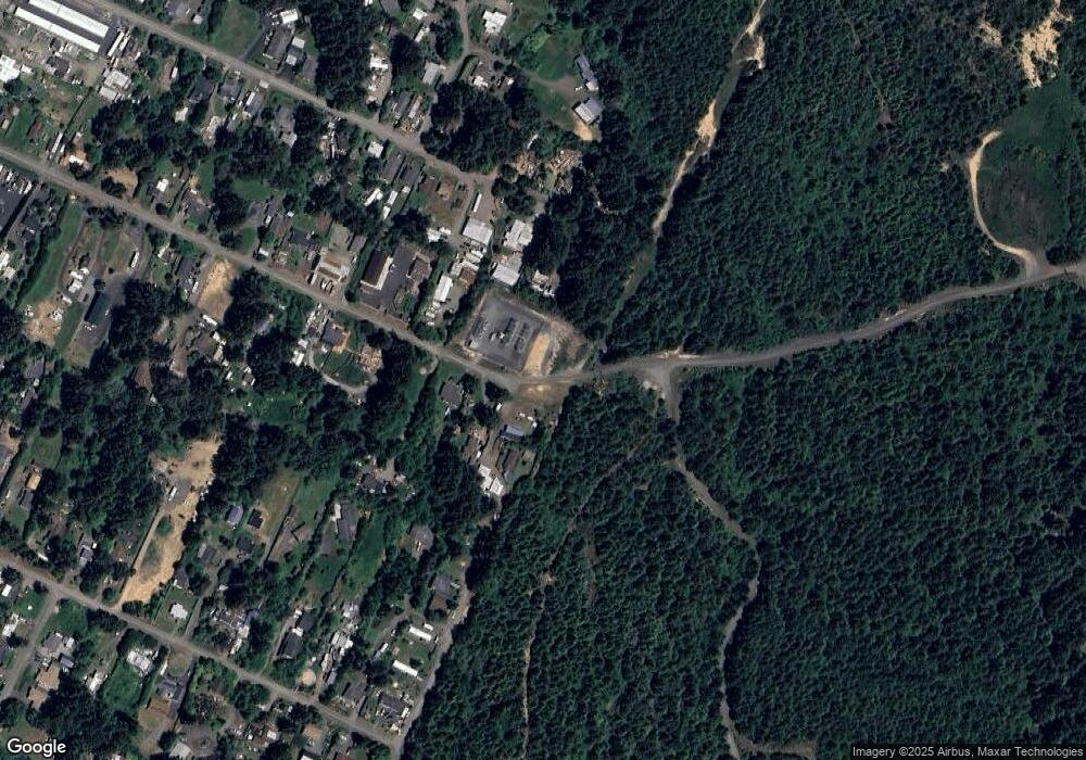
767 Spaw Blvd Coosbay, OR 97420
Estimated Value: $274,281 - $288,000
3
Beds
1
Bath
1,300
Sq Ft
$216/Sq Ft
Est. Value
About This Home
This home is located at 767 Spaw Blvd, Coosbay, OR 97420 and is currently estimated at $281,141, approximately $216 per square foot. 767 Spaw Blvd is a home located in Coos County with nearby schools including Sunset School, Madison Elementary School, and Marshfield Senior High School.
Ownership History
Date
Name
Owned For
Owner Type
Purchase Details
Closed on
Aug 23, 2017
Sold by
Anderson Duane C
Bought by
Brogan James P and Brogan Julie D
Current Estimated Value
Home Financials for this Owner
Home Financials are based on the most recent Mortgage that was taken out on this home.
Original Mortgage
$130,303
Outstanding Balance
$108,932
Interest Rate
4.03%
Mortgage Type
New Conventional
Estimated Equity
$172,209
Purchase Details
Closed on
Dec 21, 2009
Sold by
Deutsche Bank National Trust Company
Bought by
Anderson Duane C
Home Financials for this Owner
Home Financials are based on the most recent Mortgage that was taken out on this home.
Original Mortgage
$77,040
Interest Rate
4.91%
Mortgage Type
New Conventional
Create a Home Valuation Report for This Property
The Home Valuation Report is an in-depth analysis detailing your home's value as well as a comparison with similar homes in the area
Home Values in the Area
Average Home Value in this Area
Purchase History
| Date | Buyer | Sale Price | Title Company |
|---|---|---|---|
| Brogan James P | $129,000 | First American | |
| Anderson Duane C | $75,500 | Multiple |
Source: Public Records
Mortgage History
| Date | Status | Borrower | Loan Amount |
|---|---|---|---|
| Open | Brogan James P | $130,303 | |
| Previous Owner | Anderson Duane C | $77,040 |
Source: Public Records
Tax History Compared to Growth
Tax History
| Year | Tax Paid | Tax Assessment Tax Assessment Total Assessment is a certain percentage of the fair market value that is determined by local assessors to be the total taxable value of land and additions on the property. | Land | Improvement |
|---|---|---|---|---|
| 2024 | $1,722 | $117,170 | -- | -- |
| 2023 | $1,654 | $113,760 | $0 | $0 |
| 2022 | $1,633 | $110,450 | $0 | $0 |
| 2021 | $1,473 | $107,240 | $0 | $0 |
| 2020 | $1,434 | $107,240 | $0 | $0 |
| 2019 | $1,374 | $101,090 | $0 | $0 |
| 2018 | $1,332 | $98,150 | $0 | $0 |
| 2017 | $1,145 | $95,300 | $0 | $0 |
| 2016 | $1,110 | $92,530 | $0 | $0 |
| 2015 | $1,025 | $89,840 | $0 | $0 |
| 2014 | $1,025 | $87,230 | $0 | $0 |
Source: Public Records
Map
Nearby Homes
- 92478 Cape Arago Hwy
- 91370 Kellogg Ln
- 64588 Cammann Rd
- 64274 Saddler Rd
- 92252 Cape Arago Hwy
- 91323 Sandstone Ln Unit 418
- 91319 Grinnell Ln
- 91382 Grinnell Ln
- 842 S Empire Blvd
- 64184 Rail Rd
- 763 S Wasson St
- 817 S Empire Blvd
- 740 S Cammann St
- 0 S Empire Blvd
- 0 Fulton Ave Unit 394328228
- 649 S Wall St
- 1124 Nautical Ct
- 1036 Plymouth Ave
- 536 S Marple St
- 588 Madison St
- 91550 Spaw Ln
- 91542 Spaw Ln
- 91556 Spaw Ln
- 91564 Spaw Ln
- 91546 Spaw Ln
- 91544 Spaw Ln
- 91541 Spaw Ln
- 91510 Spaw Ln
- 91523 Spaw Ln
- 64434 Penny Rd
- 91608 Dolezal Ln
- 64426 Penny Rd
- 64413 Harmony Rd
- 91494 Spaw Ln
- 91602 Dolezal Ln
- 91580 Dolezal Ln
- 64406 Harmony Rd
- 91572 Dolezal Ln
- 91495 Spaw Ln
- 91566 Dolezal Ln
