767 Stonewall Dr Bourbonnais, IL 60914
Estimated Value: $255,000 - $261,008
3
Beds
2
Baths
1,856
Sq Ft
$139/Sq Ft
Est. Value
About This Home
This home is located at 767 Stonewall Dr, Bourbonnais, IL 60914 and is currently estimated at $257,752, approximately $138 per square foot. 767 Stonewall Dr is a home located in Kankakee County with nearby schools including Noel Levasseur Elementary School, Liberty Intermediate School, and Bourbonnais Upper Grade Center.
Ownership History
Date
Name
Owned For
Owner Type
Purchase Details
Closed on
Jan 27, 2022
Sold by
Litherland Troy C
Bought by
Berg Randy L and Berg Michelle L
Current Estimated Value
Home Financials for this Owner
Home Financials are based on the most recent Mortgage that was taken out on this home.
Original Mortgage
$198,705
Outstanding Balance
$186,279
Interest Rate
4.38%
Mortgage Type
New Conventional
Estimated Equity
$71,473
Create a Home Valuation Report for This Property
The Home Valuation Report is an in-depth analysis detailing your home's value as well as a comparison with similar homes in the area
Home Values in the Area
Average Home Value in this Area
Purchase History
| Date | Buyer | Sale Price | Title Company |
|---|---|---|---|
| Berg Randy L | $210,000 | Kankakee County Title |
Source: Public Records
Mortgage History
| Date | Status | Borrower | Loan Amount |
|---|---|---|---|
| Open | Berg Randy L | $198,705 |
Source: Public Records
Tax History
| Year | Tax Paid | Tax Assessment Tax Assessment Total Assessment is a certain percentage of the fair market value that is determined by local assessors to be the total taxable value of land and additions on the property. | Land | Improvement |
|---|---|---|---|---|
| 2024 | $5,683 | $74,626 | $6,562 | $68,064 |
| 2023 | $5,089 | $67,862 | $6,076 | $61,786 |
| 2022 | $4,848 | $62,038 | $5,856 | $56,182 |
| 2021 | $5,007 | $58,057 | $5,727 | $52,330 |
| 2020 | $4,970 | $56,503 | $5,574 | $50,929 |
| 2019 | $4,748 | $53,418 | $5,412 | $48,006 |
| 2018 | $4,504 | $50,518 | $5,332 | $45,186 |
| 2017 | $4,424 | $49,286 | $5,202 | $44,084 |
| 2016 | $4,350 | $48,558 | $5,125 | $43,433 |
| 2015 | $4,441 | $48,955 | $5,074 | $43,881 |
| 2014 | $4,265 | $48,955 | $5,074 | $43,881 |
| 2013 | -- | $48,592 | $5,074 | $43,518 |
Source: Public Records
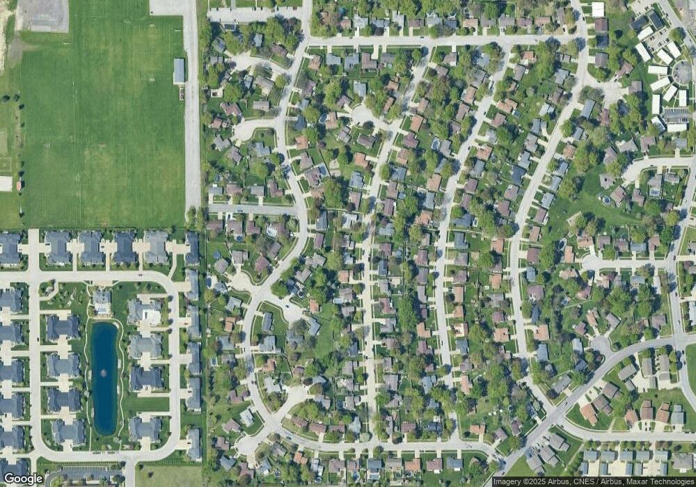
Map
Nearby Homes
- 817 Stonewall Dr
- 703 Heritage Dr
- Lot 5/5A Almar Pkwy
- 3314 Toulouse
- 1230 Eagle Bluff Dr
- 1313 Eagle Bluff Dr
- 15 Hanson Dr
- 309 Steeplechase Cir
- lot Briarcliff Ln
- 1356 Eagle Bluff Dr
- 650 Justin Ct
- 5 Inverness Dr
- 9 Hilltop Dr
- 22 Emery Dr
- 417 E Beaudoin St
- 206 Meadows Rd S
- 250 N Levasseur Ave
- 3100 Sportsman Club Rd
- 132 N Tetrault Ave
- 179 N Levasseur Ave
- 761 Stonewall Dr
- 790 Independence Dr
- 749 Stonewall Dr
- 780 Independence Dr
- 770 Stonewall Dr
- 780 Stonewall Dr
- 760 Stonewall Dr
- 770 Independence Dr
- 810 Independence Dr
- 737 Stonewall Dr
- 790 Stonewall Dr
- 785 Independence Dr
- 750 Stonewall Dr
- 813 Stonewall Dr
- 771 Independence Dr
- 760 Independence Dr
- 800 Stonewall Dr
- 675 Vicksburg Ct
- 773 Bunker Hill Dr
- 725 Stonewall Dr
Your Personal Tour Guide
Ask me questions while you tour the home.